Log In/Sign Up
Your email has been sent.
2050 McKinnon Ave
San Francisco, CA 94124
LaSalle Industrial Park · Industrial Property For Lease
·
112,000 SF
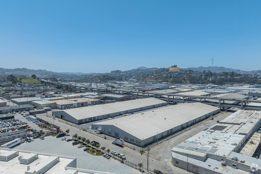
PARK HIGHLIGHTS
- ±6.60 Acre urban infill site with short and long term potential
- Long-term development potential of up to ±1.75M
- Short-term leasing opportunities of up to ±224,000 RSF
PARK FACTS
| Total Space Available | 112,000 SF | Park Type | Industrial Park |
| Min. Divisible | 24,000 SF | Features | Fenced Lot |
| Total Space Available | 112,000 SF |
| Min. Divisible | 24,000 SF |
| Park Type | Industrial Park |
| Features | Fenced Lot |
FEATURES AND AMENITIES
- Fenced Lot
PARK OVERVIEW
Flexible and adaptable commercial space in a prime San Francisco location. The property offers the option for a build-to-suit office, allowing tenants to customize the space to fit their specific requirements.
1 of 2
VIDEOS
MATTERPORT 3D EXTERIOR
MATTERPORT 3D TOUR
PHOTOS
STREET VIEW
STREET
MAP
