Your email has been sent.
000 Shady Grove Rd
Pickens, SC 29671
McGullion Mountain Tract · Land For Sale
·
109.85 AC


INVESTMENT HIGHLIGHTS
- Pickens County Tax Map #4152-00-54-3144 & 4152-00-64-5944
- Max elevation of 1,352’ with 360-degree views
- ±2 acre bottom field
- Small creeks run along the NE & SW boundaries with frontage along Katoma Branch at both locations
- ±4 acre knoll with level topo at the highest point elevation
- ±710’ frontage on Shady Grove Road
EXECUTIVE SUMMARY
Own your own mountain! Ask about McGullion Mountain Tract today.
PROPERTY FACTS
| Sale Type | Investment | Property Subtype | Commercial |
| No. Lots | 1 | Total Lot Size | 109.85 AC |
| Property Type | Land |
| Sale Type | Investment |
| No. Lots | 1 |
| Property Type | Land |
| Property Subtype | Commercial |
| Total Lot Size | 109.85 AC |
1 LOT AVAILABLE
Lot
| Price | $878,250 | Lot Size | 109.85 AC |
| Price Per AC | $7,994.99 |
| Price | $878,250 |
| Price Per AC | $7,994.99 |
| Lot Size | 109.85 AC |
Pickens County Tax Map #4152-00-54-3144 & 4152- 00-64-5944 ±109.85 acres Small creeks run along the NE & SW boundaries with frontage along Katoma Branch at both locations Max elevation of 1,352’ with 360-degree views
DESCRIPTION
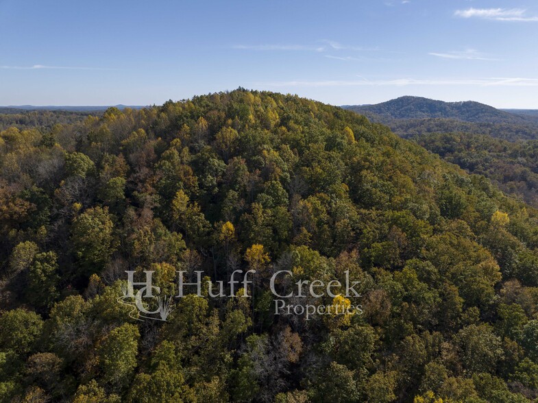
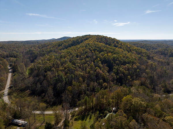
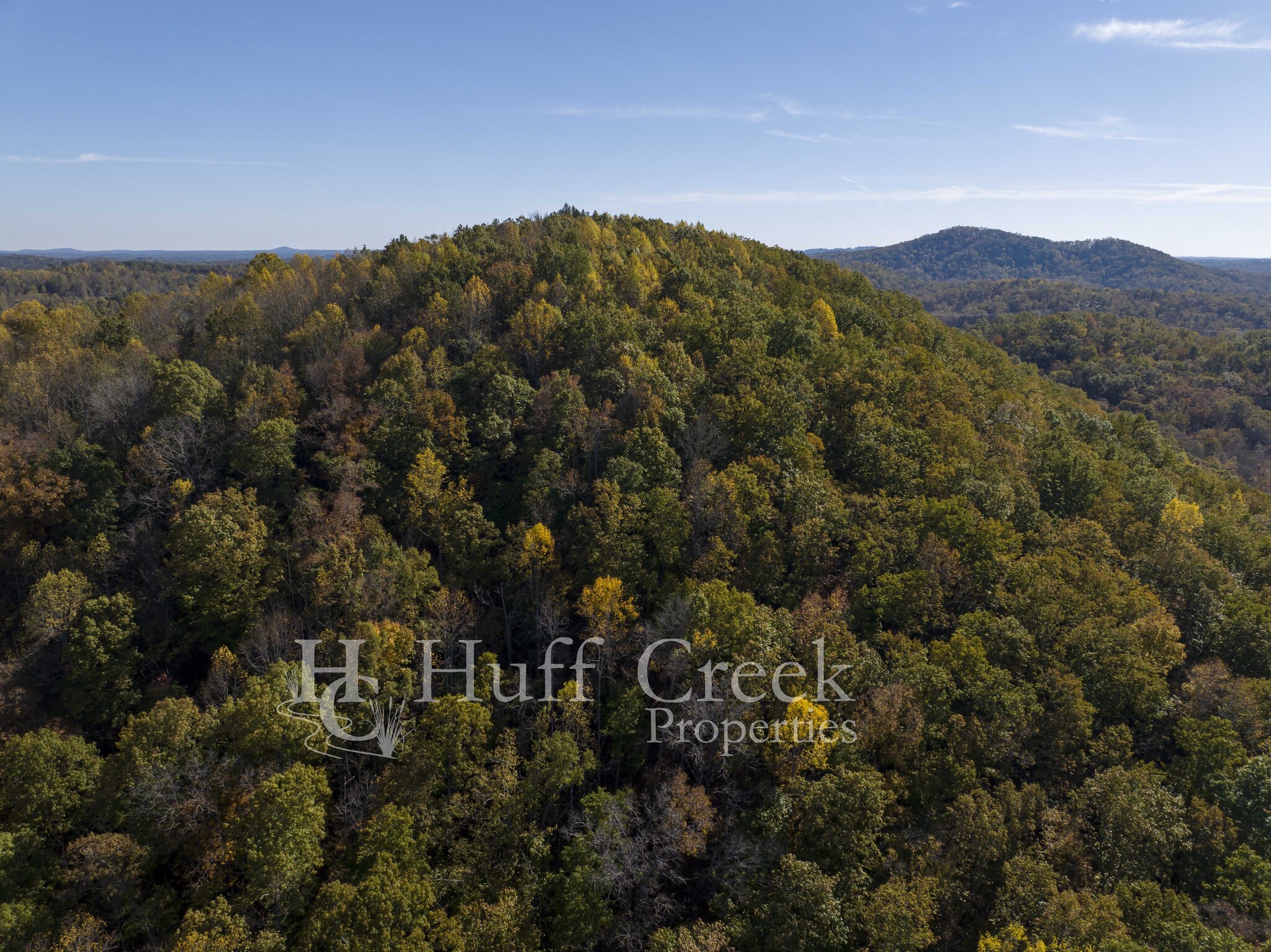
The McGullion Mountain tract presents a unique opportunity to own 109.85 acres in one of the most beautiful areas of upstate South Carolina. The peak of the property is truly stunning. A 4+ acre knoll with level topography sits at the highest point of elevation (1,352’) and offers a future homesite offering 360-degree views of Lake Keowee and the surrounding Blue Ridge range. The steepness of the northeast face of McGullion mountain is very manageable and establishing a road to the peak appears quite feasible. Mature hardwoods make up most of the property with the balance consisting of a +-2-acre bottom field perfect for food plots. A small creek borders the bottom field for +-1,800’ further enhancing this major wildlife corridor. A second creek runs along the southwest boundary and the property includes Katoma Branch frontage on the northwest and southwest corners as well. These water features complement the existing wildlife habitat helping the deer and turkey numbers thrive. The McGullion Mountain tract has tremendous potential for a future private estate or as a recreational haven. Do not miss out on this opportunity of a lifetime to purchase your very own mountain!
PROPERTY TAXES
| Parcel Numbers | Improvements Assessment | $0 | |
| Land Assessment | $496 | Total Assessment | $496 |

