This feature is unavailable at the moment.
We apologize, but the feature you are trying to access is currently unavailable. We are aware of this issue and our team is working hard to resolve the matter.
Please check back in a few minutes. We apologize for the inconvenience.
- LoopNet Team
Lee Rd
Abita Springs, LA 70420
Land For Sale · 3,755.00 AC

PROPERTY FACTS
| Property Type | Land | Total Lot Size | 3,755.00 AC |
| Property Subtype | Agricultural |
| Property Type | Land |
| Property Subtype | Agricultural |
| Total Lot Size | 3,755.00 AC |
Description
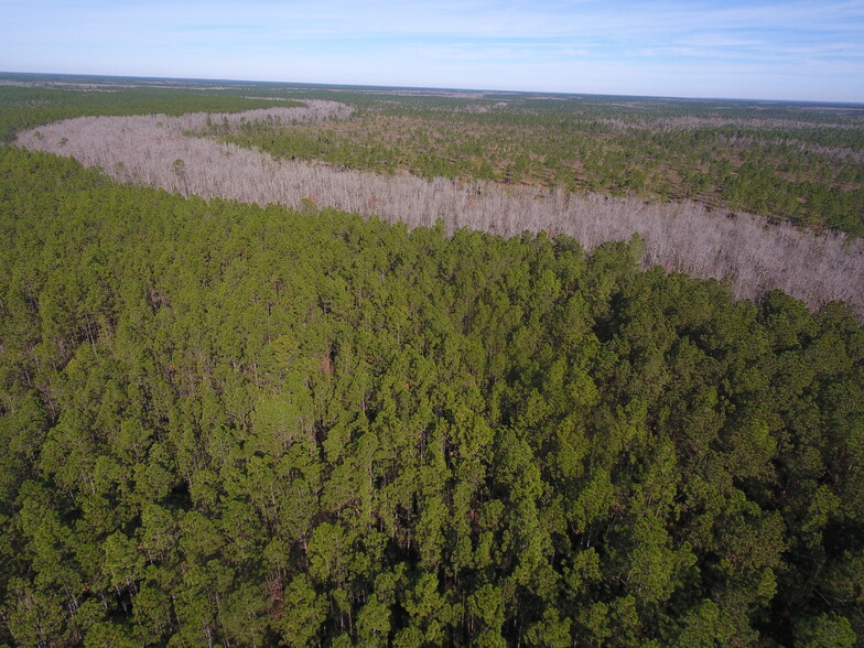
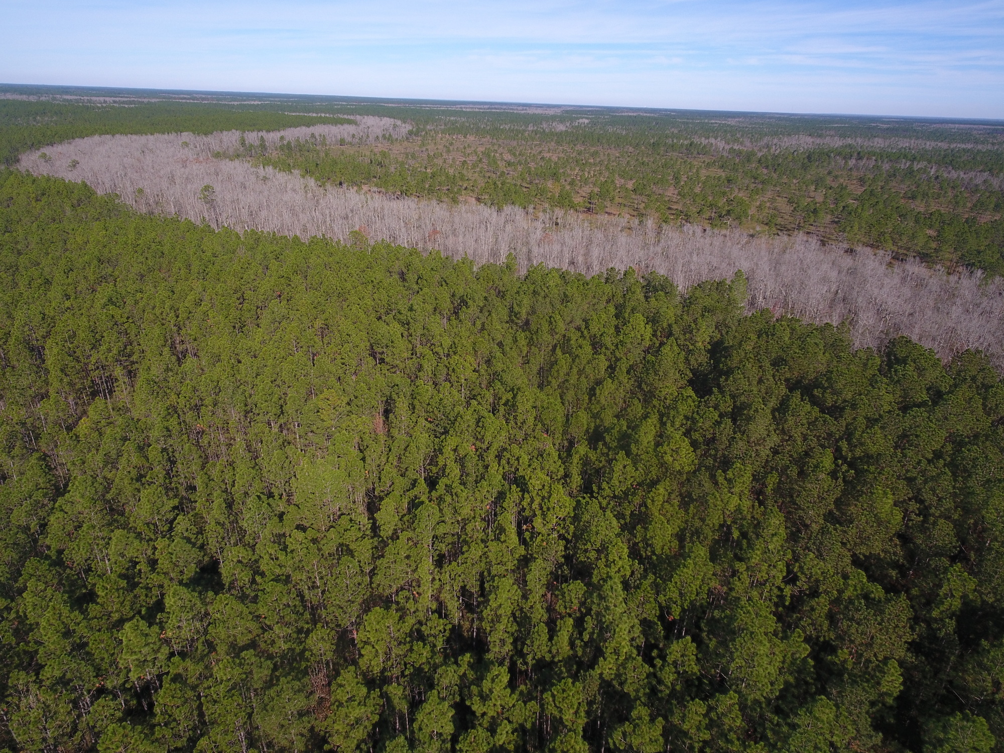
The Bayou Lacombe Timberland & Mitigation Area is approximately 3,755 acres along the upper Bayou Lacombe basin in Saint Tammany Parrish, Louisiana. The property features 3,340 ± Upland Acres (89%) and 415 ± Wetland Acres (11%) with mitigation credits available to sell. Several natural sloughs run through the property, creating exceptional biodiversity and movement of game such as deer, turkey, and hogs. The property contains excellent fire lanes and internal access roads for ease of management and navigation. The majority of the site was converted to pine plantation and managed for pine production historically. The site was last clearcut between 1993 and 1995 but was not mechanically replanted. Since then, it has been restored to pine flatwoods, savannahs, bayhead swamps, and associated habitats. Surface elevations range from 45 feet to 55 feet and the land is generally level with natural sloughs providing variations in the topography. Soil types include Latonia fine sandy loam, Myatt fine sandy loam, Myatt fine sandy loam, frequently flooded, Guyton silt loam, and Guyton silt loam, occasionally flooded. Approximately 2,891 acres (77%) are considered to have hydric soil and 864 acres (23%) are non-hydric. The property is located on the north shore of Lake Pontchartrain and lies between the Pearl River Basin to the east and the Tangipahoa River Basin to the west. Small streams flow through the property and drain into Lake Pontchartrain. The streams are subject to daily tidal fluctuation near their confluence with Lake Pontchartrain. The surface waters of the lower ends of these streams are fresh to brackish depending upon the season and the amount of rainfall received. Named for the pearls found by French explorers at the mouth of the river in the late 1600s, the Pearl River basin has a rich history and biological diversity. Centuries of human interactions continue today, as the Pearl is a popular location for angling and boating. The Bayou Lacombe Timberland & Mitigation Area is adjacent to the Money Hill Conservation Easement held by The Nature Conservancy. Nearby conservation areas also include the Bogue Chitto National Wildlife Refuge, Pearl River State Wildlife Management Area, Fontainebleau State Park, St. Tammany Wildlife Refuge, and Big Branch Marsh National Wildlife Refuge on the north shore of Lake Pontchartrain.
Links
Learn More About Investing in Land
Listing ID: 30574205
Date on Market: 1/8/2024
Last Updated:
Address: Lee Rd, Abita Springs, LA 70420

