This feature is unavailable at the moment.
We apologize, but the feature you are trying to access is currently unavailable. We are aware of this issue and our team is working hard to resolve the matter.
Please check back in a few minutes. We apologize for the inconvenience.
- LoopNet Team
thank you

Your email has been sent!
TBD HWY 380 - TBD Hwy 380, Ponder TX (16.86 Acres)
16.86 Acres of Commercial Land Offered at $2,939,080 in Ponder, TX 76259


Investment Highlights
- No known restrictions.
Executive Summary
Property Facts
| Price | $2,939,080 | Property Subtype | Commercial |
| Sale Type | Investment or Owner User | Proposed Use | |
| No. Lots | 1 | Total Lot Size | 16.86 AC |
| Property Type | Land | Cross Streets | Smith Road |
| Price | $2,939,080 |
| Sale Type | Investment or Owner User |
| No. Lots | 1 |
| Property Type | Land |
| Property Subtype | Commercial |
| Proposed Use | |
| Total Lot Size | 16.86 AC |
| Cross Streets | Smith Road |
1 Lot Available
Lot
| Price | $2,939,080 | Lot Size | 16.86 AC |
| Price Per AC | $174,323 |
| Price | $2,939,080 |
| Price Per AC | $174,323 |
| Lot Size | 16.86 AC |
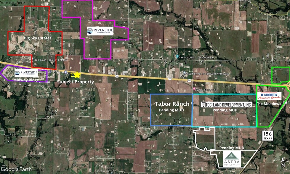
High traffic corner lot with many subdivisions being built around it.
Description
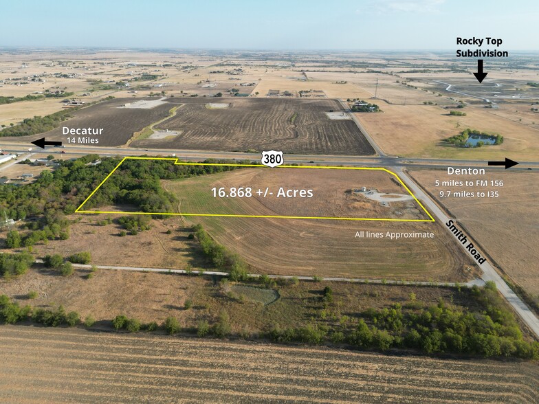
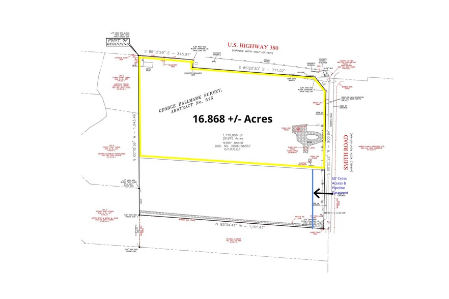
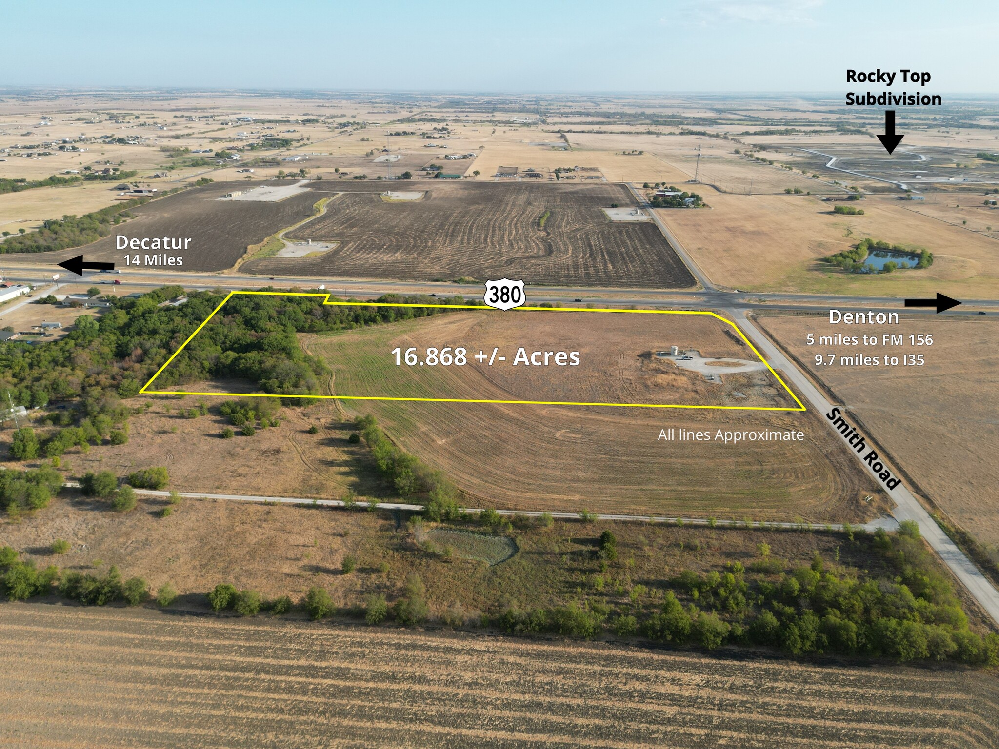
Great for commercial use. 16.868 acres on the corner of Hwy 380 and Smith Rd. Only 14 Miles to Decatur, 5 Miles to FM 156, and 9.7 Miles to I35. Partially treed. No known restrictions. Will Subdivide. All information deemed reliable but will need to be verified by Buyer and Buyer's Agent.
PROPERTY TAXES
| Parcel Number | R67265 | Improvements Assessment | $0 |
| Land Assessment | $0 | Total Assessment | $29,082 |
PROPERTY TAXES
zoning
| Zoning Code | None (Outside city limits) |
| None (Outside city limits) |
Presented by

TBD HWY 380 - TBD Hwy 380, Ponder TX (16.86 Acres)
Hmm, there seems to have been an error sending your message. Please try again.
Thanks! Your message was sent.


