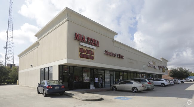
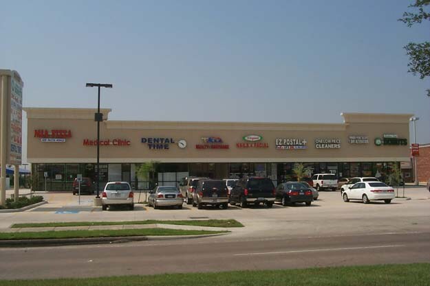
Property Record
0 Fm 1093, Houston, TX 77082


NEARBY LISTINGS FOR SALE OR LEASE
Property Detail
0 Fm 1093
Houston-The Woodlands-Sugar Land, TX
Oak Park Ridge Sec 2
1221500010053
RES C BLK 1 OAK PARK RIDGE SEC 2
Commercialacreage
Harris
X
Texas
48157C0135L
1.43 AC
2024
Far West
2025
Houston
451800
DEMOGRAPHICS near 0 Fm 1093
1 Mile
3 Mile
5 Mile
2024 Total Population
23,374
185,996
476,925
2029 Population
23,798
189,581
492,360
Pop Growth 2024-2029
+ 1.81%
+ 1.93%
+ 3.24%
Average Age
37
37
37
2024 Total Households
9,943
73,686
179,528
HH Growth 2024-2029
+ 1.81%
+ 1.93%
+ 3.01%
Median Household Inc
$47,375
$53,912
$52,651
Avg Household Size
2.30
2.40
2.60
2024 Avg HH Vehicles
1.00
2.00
2.00
Median Home Value
$266,818
$256,408
$240,387
Median Year Built
1988
1986
1984
Nearby Places
Map Layers
Map Styles
 Street
 Aerial
- Restaurants
- Banks
- Shops
- Fitness
- Groceries
PUBLIC TRANSPORTATION
AIRPORT
William P Hobby
DRIVE
WALK
Distance
William P Hobby
48 min
30.7 mi
George Bush Intcntl/Houston
DRIVE
WALK
Distance
George Bush Intcntl/Houston
48 min
36.2 mi
Freight Ports
Port of Houston
DRIVE
WALK
Distance
Port of Houston
44 min
30.0 mi
SALE & LEASE HISTORY
LISTING DATE
SALE/LEASE

Mar 17, 2025
For Lease
Nearby Properties
Address
Land Use
TOTAL SIZE
Lot Size
Zoning
Address
Land Use
TOTAL SIZE
Lot Size
Zoning
953,143 SF
63.82 AC
Address
Land Use
TOTAL SIZE
Lot Size
Zoning
1,376,776 SF
113.43 AC
Address
Land Use
TOTAL SIZE
Lot Size
Zoning
764,429 SF
6.78 AC
Address
Land Use
TOTAL SIZE
Lot Size
Zoning
690,519 SF
26.57 AC
Address
Land Use
TOTAL SIZE
Lot Size
Zoning
638,248 SF
23.38 AC
Address
Land Use
TOTAL SIZE
Lot Size
Zoning
403,080 SF
19.17 AC
Address
Land Use
TOTAL SIZE
Lot Size
Zoning
403,650 SF
20.19 AC
Address
Land Use
TOTAL SIZE
Lot Size
Zoning
488,573 SF
20.57 AC
Address
Land Use
TOTAL SIZE
Lot Size
Zoning
499,216 SF
6.30 AC
Address
Land Use
TOTAL SIZE
Lot Size
Zoning
550,035 SF
5.77 AC
Address
Land Use
TOTAL SIZE
Lot Size
Zoning
489,192 SF
23.11 AC
Address
Land Use
TOTAL SIZE
Lot Size
Zoning
359,116 SF
15.35 AC
Address
Land Use
TOTAL SIZE
Lot Size
Zoning
386,068 SF
18.36 AC
Address
Land Use
TOTAL SIZE
Lot Size
Zoning
288,868 SF
9.37 AC
Address
Land Use
TOTAL SIZE
Lot Size
Zoning
370,358 SF
9.96 AC
Address
Land Use
TOTAL SIZE
Lot Size
Zoning
370,132 SF
9.56 AC
Address
Land Use
TOTAL SIZE
Lot Size
Zoning
421,435 SF
22.30 AC
Address
Land Use
TOTAL SIZE
Lot Size
Zoning
442,006 SF
20.06 AC
Address
Land Use
TOTAL SIZE
Lot Size
Zoning
272,659 SF
12.30 AC
Address
Land Use
TOTAL SIZE
Lot Size
Zoning
325,312 SF
13.66 AC
Address
Land Use
TOTAL SIZE
Lot Size
Zoning
363,177 SF
36.37 AC
YOS
Address
Land Use
TOTAL SIZE
Lot Size
Zoning
234,545 SF
10.42 AC
Address
Land Use
TOTAL SIZE
Lot Size
Zoning
690,119 SF
23 AC
Address
Land Use
TOTAL SIZE
Lot Size
Zoning
425,887 SF
26.70 AC
Address
Land Use
TOTAL SIZE
Lot Size
Zoning
364,571 SF
19.23 AC
Address
Land Use
TOTAL SIZE
Lot Size
Zoning
425,069 SF
25.14 AC
Address
Land Use
TOTAL SIZE
Lot Size
Zoning
258,125 SF
11.29 AC
Address
Land Use
TOTAL SIZE
Lot Size
Zoning
419,988 SF
13.09 AC
Address
Land Use
TOTAL SIZE
Lot Size
Zoning
346,141 SF
13.34 AC
Address
Land Use
TOTAL SIZE
Lot Size
Zoning
443,209 SF
25.13 AC
The World's #1 Commercial Real Estate Marketplace
Connect with us
© 2025 CoStar Group
The information above has been obtained from sources believed reliable. While we do not doubt its accuracy we have not verified it and make no guarantee, warranty or representation about it. It is your responsibility to independently confirm its accuracy and completeness. Any projections, opinions, assumptions, or estimates used are for example only and do not represent the current or future performance of the property. The value of this transaction to you depends on tax and other factors which should be evaluated by your tax, financial, and legal advisors. You and your advisors should conduct a careful, independent investigation of the property to determine to your satisfaction the suitability of the property for your needs.