Property Record
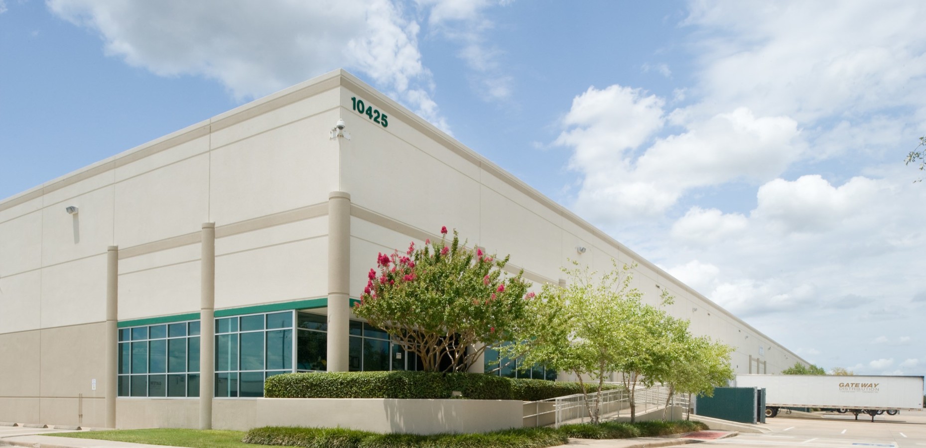
0 Okanella St, Houston, TX 77041

NEARBY LISTINGS FOR SALE OR LEASE
Property Detail
0 Okanella St
Houston-The Woodlands-Sugar Land, TX
Northwest 8 Business Park
1222570020004
ROW-STREET DEDICATION (DEDICATED PER PLAT) (NM) NORTHWEST 8 BUSINESS PARK
Commercialnec
Harris
X
Texas
48201C0635M
0.66 AC
0
Northwest Inner Loop
2023
Houston
540100
DEMOGRAPHICS near 0 Okanella St
1 Mile
3 Mile
5 Mile
2024 Total Population
2,878
72,888
263,564
2029 Population
2,930
74,316
268,305
Pop Growth 2024-2029
+ 1.81%
+ 1.96%
+ 1.80%
Average Age
35
38
37
2024 Total Households
966
26,884
93,591
HH Growth 2024-2029
+ 1.45%
+ 1.96%
+ 1.78%
Median Household Inc
$49,356
$69,172
$61,041
Avg Household Size
2.80
2.60
2.70
2024 Avg HH Vehicles
2.00
2.00
2.00
Median Home Value
$189,814
$263,850
$239,622
Median Year Built
1995
1985
1983
Nearby Places
- Restaurants
- Banks
- Shops
- Fitness
- Groceries
PUBLIC TRANSPORTATION
AIRPORT
George Bush Intcntl/Houston
DRIVE
WALK
Distance
George Bush Intcntl/Houston
31 min
23.0 mi
William P Hobby
DRIVE
WALK
Distance
William P Hobby
49 min
31.5 mi
Freight Ports
Port of Houston
DRIVE
WALK
Distance
Port of Houston
41 min
27.1 mi
SALE & LEASE HISTORY
LISTING DATE
SALE/LEASE

Oct 18, 2018
For Lease
Nov 11, 2016
For Lease
Nov 10, 2016
For Lease
Nov 08, 2019
For Lease
Mar 17, 2020
For Lease
Dec 21, 2020
For Lease
Nearby Properties
Address
Land Use
TOTAL SIZE
Lot Size
Zoning
Address
Land Use
TOTAL SIZE
Lot Size
Zoning
483,619 SF
32.81 AC
Address
Land Use
TOTAL SIZE
Lot Size
Zoning
180.16 AC
Address
Land Use
TOTAL SIZE
Lot Size
Zoning
647,228 SF
9.85 AC
Address
Land Use
TOTAL SIZE
Lot Size
Zoning
342,163 SF
8.50 AC
Address
Land Use
TOTAL SIZE
Lot Size
Zoning
664,361 SF
39.18 AC
Address
Land Use
TOTAL SIZE
Lot Size
Zoning
793,669 SF
121.83 AC
Address
Land Use
TOTAL SIZE
Lot Size
Zoning
427,921 SF
18.14 AC
Address
Land Use
TOTAL SIZE
Lot Size
Zoning
373,516 SF
18.63 AC
Address
Land Use
TOTAL SIZE
Lot Size
Zoning
380,959 SF
21.43 AC
Address
Land Use
TOTAL SIZE
Lot Size
Zoning
281,843 SF
13.97 AC
Address
Land Use
TOTAL SIZE
Lot Size
Zoning
336,681 SF
16.10 AC
Address
Land Use
TOTAL SIZE
Lot Size
Zoning
472,988 SF
9 AC
Address
Land Use
TOTAL SIZE
Lot Size
Zoning
402,712 SF
25.64 AC
Address
Land Use
TOTAL SIZE
Lot Size
Zoning
347,694 SF
17.61 AC
Address
Land Use
TOTAL SIZE
Lot Size
Zoning
408,730 SF
24.68 AC
Address
Land Use
TOTAL SIZE
Lot Size
Zoning
157,698 SF
5.98 AC
Address
Land Use
TOTAL SIZE
Lot Size
Zoning
327,674 SF
15.32 AC
Address
Land Use
TOTAL SIZE
Lot Size
Zoning
491,051 SF
50 AC
Address
Land Use
TOTAL SIZE
Lot Size
Zoning
408,144 SF
26.13 AC
Address
Land Use
TOTAL SIZE
Lot Size
Zoning
346,160 SF
6.68 AC
Address
Land Use
TOTAL SIZE
Lot Size
Zoning
251,461 SF
21.74 AC
Address
Land Use
TOTAL SIZE
Lot Size
Zoning
322,226 SF
14.99 AC
Address
Land Use
TOTAL SIZE
Lot Size
Zoning
172,326 SF
8.07 AC
Address
Land Use
TOTAL SIZE
Lot Size
Zoning
350,057 SF
19.96 AC
Address
Land Use
TOTAL SIZE
Lot Size
Zoning
368,996 SF
21.47 AC
Address
Land Use
TOTAL SIZE
Lot Size
Zoning
241,340 SF
12.50 AC
Address
Land Use
TOTAL SIZE
Lot Size
Zoning
Address
Land Use
TOTAL SIZE
Lot Size
Zoning
212,017 SF
14.11 AC
Address
Land Use
TOTAL SIZE
Lot Size
Zoning
407,472 SF
23.82 AC
Address
Land Use
TOTAL SIZE
Lot Size
Zoning
254,320 SF
22.03 AC
The World's #1 Commercial Real Estate Marketplace
Connect with us
© 2025 CoStar Group
The information above has been obtained from sources believed reliable. While we do not doubt its accuracy we have not verified it and make no guarantee, warranty or representation about it. It is your responsibility to independently confirm its accuracy and completeness. Any projections, opinions, assumptions, or estimates used are for example only and do not represent the current or future performance of the property. The value of this transaction to you depends on tax and other factors which should be evaluated by your tax, financial, and legal advisors. You and your advisors should conduct a careful, independent investigation of the property to determine to your satisfaction the suitability of the property for your needs.