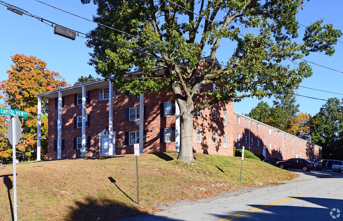
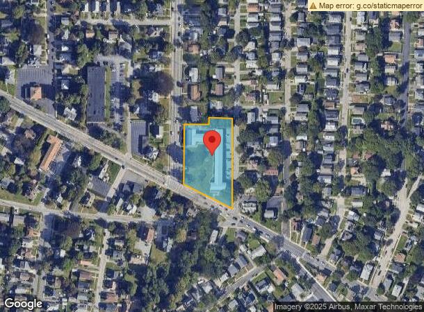
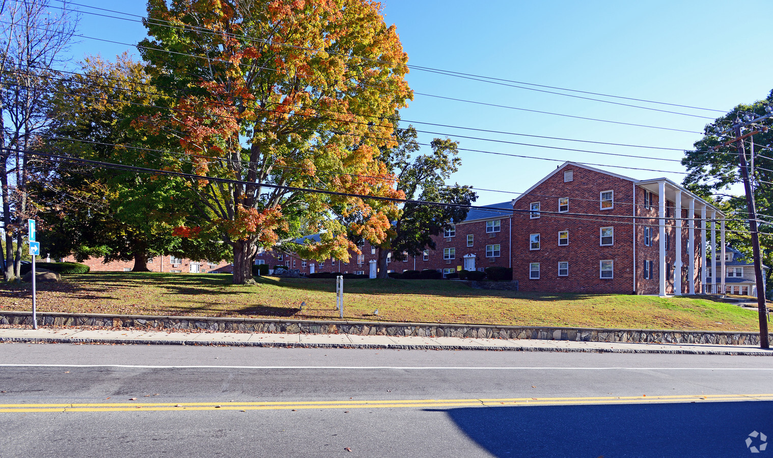
Property Record
1 High Service Ave, North Providence, RI 02911
NEARBY LISTINGS FOR SALE OR LEASE
Property Detail
1 High Service Ave
NPRO-000008-000000-000211
Providence
Apartment
Rhode Island
X
211
44007C0302H
1.50 AC
2024
Northeastern Providence County
2024
Providence
012000
Providence-Warwick, RI-MA
39,459 SF
DEMOGRAPHICS near 1 High Service Ave
1 Mile
3 Mile
5 Mile
2024 Total Population
19,473
176,569
366,306
2029 Population
19,391
175,106
362,609
Pop Growth 2024-2029
(0.42%)
(0.83%)
(1.01%)
Average Age
40
38
38
2024 Total Households
7,889
70,103
144,164
HH Growth 2024-2029
(0.52%)
(0.73%)
(0.96%)
Median Household Inc
$71,923
$65,328
$61,837
Avg Household Size
2.40
2.40
2.40
2024 Avg HH Vehicles
2.00
2.00
1.00
Median Home Value
$281,292
$280,201
$296,103
Median Year Built
1953
1954
1950
Nearby Places
- Restaurants
- Banks
- Shops
- Fitness
- Groceries
PUBLIC TRANSPORTATION
COMMUTER RAIL
Providence (Providence/Stoughton Line - Massachusetts Bay Transportation Authority Commuter Rail (Purple Line))
DRIVE
WALK
Distance
Providence (Providence/Stoughton Line - Massachusetts Bay Transportation Authority Commuter Rail (Purple Line))
6 min
3.2 mi
Pawtucket/Central Falls (Foxboro Event Service - MBTA, Providence/Stoughton Line - MBTA)
DRIVE
WALK
Distance
Pawtucket/Central Falls (Foxboro Event Service - MBTA, Providence/Stoughton Line - MBTA)
9 min
5.3 mi
AIRPORT
Rhode Island Tf Green International
DRIVE
WALK
Distance
Rhode Island Tf Green International
23 min
12.2 mi
Freight Ports
Port of Davisville, RI
DRIVE
WALK
Distance
Port of Davisville, RI
39 min
24.5 mi
Nearby Properties
Address
Land Use
TOTAL SIZE
Lot Size
Zoning
Address
Land Use
TOTAL SIZE
Lot Size
Zoning
15.88 AC
D-1-75
Address
Land Use
TOTAL SIZE
Lot Size
Zoning
37.67 AC
R-3
Address
Land Use
TOTAL SIZE
Lot Size
Zoning
162,816 SF
16.52 AC
D-1-10
Address
Land Use
TOTAL SIZE
Lot Size
Zoning
4.14 AC
D-1-30
Address
Land Use
TOTAL SIZE
Lot Size
Zoning
5.05 AC
I-1-75
Address
Land Use
TOTAL SIZE
Lot Size
Zoning
32.48 AC
I-2
Address
Land Use
TOTAL SIZE
Lot Size
Zoning
12.41 AC
D-1-10
Address
Land Use
TOTAL SIZE
Lot Size
Zoning
20.04 AC
I-2
Address
Land Use
TOTAL SIZE
Lot Size
Zoning
2.74 AC
I-2
Address
Land Use
TOTAL SIZE
Lot Size
Zoning
8.93 AC
OS
Address
Land Use
TOTAL SIZE
Lot Size
Zoning
268,679 SF
8.64 AC
I-1-75
Address
Land Use
TOTAL SIZE
Lot Size
Zoning
20.05 AC
I-2
Address
Land Use
TOTAL SIZE
Lot Size
Zoning
254,488 SF
17.50 AC
IS
Address
Land Use
TOTAL SIZE
Lot Size
Zoning
314,273 SF
D-1-20
Address
Land Use
TOTAL SIZE
Lot Size
Zoning
26.08 AC
PS
Address
Land Use
TOTAL SIZE
Lot Size
Zoning
Address
Land Use
TOTAL SIZE
Lot Size
Zoning
18.51 AC
PS
Address
Land Use
TOTAL SIZE
Lot Size
Zoning
28.92 AC
PS
Address
Land Use
TOTAL SIZE
Lot Size
Zoning
9.06 AC
PS
Address
Land Use
TOTAL SIZE
Lot Size
Zoning
202,461 SF
1.64 AC
D-1-10
Address
Land Use
TOTAL SIZE
Lot Size
Zoning
244,872 SF
1.25 AC
D-1-12
Address
Land Use
TOTAL SIZE
Lot Size
Zoning
11.90 AC
I-2
Address
Land Use
TOTAL SIZE
Lot Size
Zoning
3.44 AC
D-1-20
Address
Land Use
TOTAL SIZE
Lot Size
Zoning
394,538 SF
0.94 AC
D-1-30
Address
Land Use
TOTAL SIZE
Lot Size
Zoning
396,000 SF
0.12 AC
D-1-30
Address
Land Use
TOTAL SIZE
Lot Size
Zoning
293,736 SF
1.24 AC
D-1-75
Address
Land Use
TOTAL SIZE
Lot Size
Zoning
367,374 SF
0.55 AC
D-1-30
Address
Land Use
TOTAL SIZE
Lot Size
Zoning
29,603 SF
1.28 AC
I-2
Address
Land Use
TOTAL SIZE
Lot Size
Zoning
1,274 SF
99.20 AC
OS
Address
Land Use
TOTAL SIZE
Lot Size
Zoning
301,035 SF
21.69 AC
15
The World's #1 Commercial Real Estate Marketplace
Connect with us
© 2025 CoStar Group
The information above has been obtained from sources believed reliable. While we do not doubt its accuracy we have not verified it and make no guarantee, warranty or representation about it. It is your responsibility to independently confirm its accuracy and completeness. Any projections, opinions, assumptions, or estimates used are for example only and do not represent the current or future performance of the property. The value of this transaction to you depends on tax and other factors which should be evaluated by your tax, financial, and legal advisors. You and your advisors should conduct a careful, independent investigation of the property to determine to your satisfaction the suitability of the property for your needs.