Property Record
1 Poinsett Hwy, Greenville, SC 29609
NEARBY LISTINGS FOR SALE OR LEASE
-
-
View all Greenville listings for sale on LoopNet.com
Property Detail
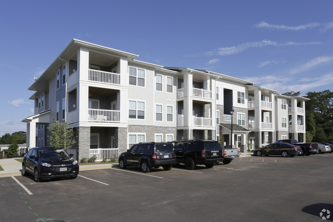
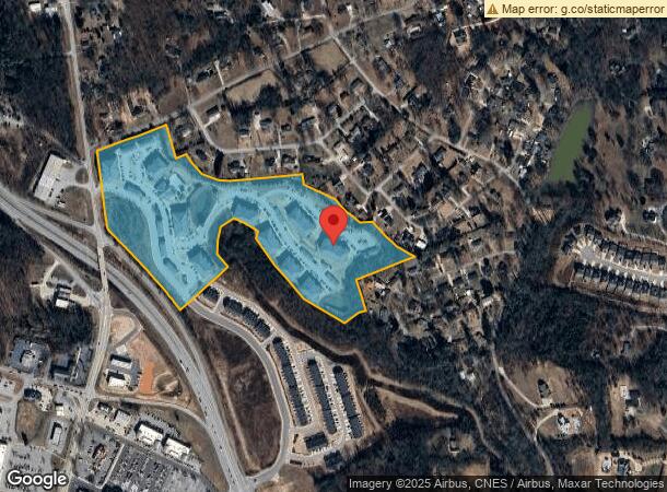
1 Poinsett Hwy
Greenville-Anderson-Mauldin, SC
Subdivision Plat For Cap Brashier Llc
0450.00-01-003.01
MAP 0450.00; 1
Apartment
Greenville
X
South Carolina
45045C0316E
003.01
2024
22.92 AC
2024
North Greenville
002304
Greenville/Spartanburg
DEMOGRAPHICS near 1 Poinsett Hwy
1 Mile
3 Mile
5 Mile
2024 Total Population
4,886
39,901
109,764
2029 Population
5,390
43,926
121,460
Pop Growth 2024-2029
+ 10.32%
+ 10.09%
+ 10.66%
Average Age
41
39
39
2024 Total Households
2,284
15,517
43,355
HH Growth 2024-2029
+ 10.11%
+ 10.45%
+ 10.99%
Median Household Inc
$50,865
$50,722
$52,268
Avg Household Size
2.10
2.40
2.30
2024 Avg HH Vehicles
2.00
2.00
2.00
Median Home Value
$183,399
$210,959
$239,835
Median Year Built
1994
1984
1982
Nearby Places
- Restaurants
- Banks
- Shops
- Fitness
- Groceries
PUBLIC TRANSPORTATION
COMMUTER RAIL
Greenville Amtrak Station (Crescent - Amtrak)
DRIVE
WALK
Distance
Greenville Amtrak Station (Crescent - Amtrak)
11 min
5.0 mi
AIRPORT
Greenville Spartanburg International
DRIVE
WALK
Distance
Greenville Spartanburg International
32 min
18.3 mi
Freight Ports
North Charleston Terminal
DRIVE
WALK
Distance
North Charleston Terminal
240 min
209.0 mi
Nearby Properties
Address
Land Use
TOTAL SIZE
Lot Size
Zoning
Address
Land Use
TOTAL SIZE
Lot Size
Zoning
22.97 AC
R12
Address
Land Use
TOTAL SIZE
Lot Size
Zoning
22.58 AC
RRROW
Address
Land Use
TOTAL SIZE
Lot Size
Zoning
28.88 AC
RM
Address
Land Use
TOTAL SIZE
Lot Size
Zoning
14.41 AC
R15
Address
Land Use
TOTAL SIZE
Lot Size
Zoning
703.30 AC
RS
Address
Land Use
TOTAL SIZE
Lot Size
Zoning
10.17 AC
RM
Address
Land Use
TOTAL SIZE
Lot Size
Zoning
Address
Land Use
TOTAL SIZE
Lot Size
Zoning
19.25 AC
R15
Address
Land Use
TOTAL SIZE
Lot Size
Zoning
2.21 AC
RMA
Address
Land Use
TOTAL SIZE
Lot Size
Zoning
Address
Land Use
TOTAL SIZE
Lot Size
Zoning
32.18 AC
C2
Address
Land Use
TOTAL SIZE
Lot Size
Zoning
149.88 AC
ESDPM
Address
Land Use
TOTAL SIZE
Lot Size
Zoning
30.52 AC
C2
Address
Land Use
TOTAL SIZE
Lot Size
Zoning
8.40 AC
I1
Address
Land Use
TOTAL SIZE
Lot Size
Zoning
165.20 AC
RS
Address
Land Use
TOTAL SIZE
Lot Size
Zoning
160.49 AC
Address
Land Use
TOTAL SIZE
Lot Size
Zoning
14.35 AC
I1
Address
Land Use
TOTAL SIZE
Lot Size
Zoning
19.79 AC
S1
Address
Land Use
TOTAL SIZE
Lot Size
Zoning
14.46 AC
RM
Address
Land Use
TOTAL SIZE
Lot Size
Zoning
22.88 AC
C2
Address
Land Use
TOTAL SIZE
Lot Size
Zoning
2.79 AC
S1
Address
Land Use
TOTAL SIZE
Lot Size
Zoning
5.05 AC
C2
Address
Land Use
TOTAL SIZE
Lot Size
Zoning
100 AC
RS
Address
Land Use
TOTAL SIZE
Lot Size
Zoning
5.10 AC
C2
Address
Land Use
TOTAL SIZE
Lot Size
Zoning
Address
Land Use
TOTAL SIZE
Lot Size
Zoning
28.21 AC
R75
Address
Land Use
TOTAL SIZE
Lot Size
Zoning
34.67 AC
I1
Address
Land Use
TOTAL SIZE
Lot Size
Zoning
0.14 AC
C3
Address
Land Use
TOTAL SIZE
Lot Size
Zoning
2,471 SF
16.10 AC
RM
The World's #1 Commercial Real Estate Marketplace
Connect with us
© 2025 CoStar Group
The information above has been obtained from sources believed reliable. While we do not doubt its accuracy we have not verified it and make no guarantee, warranty or representation about it. It is your responsibility to independently confirm its accuracy and completeness. Any projections, opinions, assumptions, or estimates used are for example only and do not represent the current or future performance of the property. The value of this transaction to you depends on tax and other factors which should be evaluated by your tax, financial, and legal advisors. You and your advisors should conduct a careful, independent investigation of the property to determine to your satisfaction the suitability of the property for your needs.