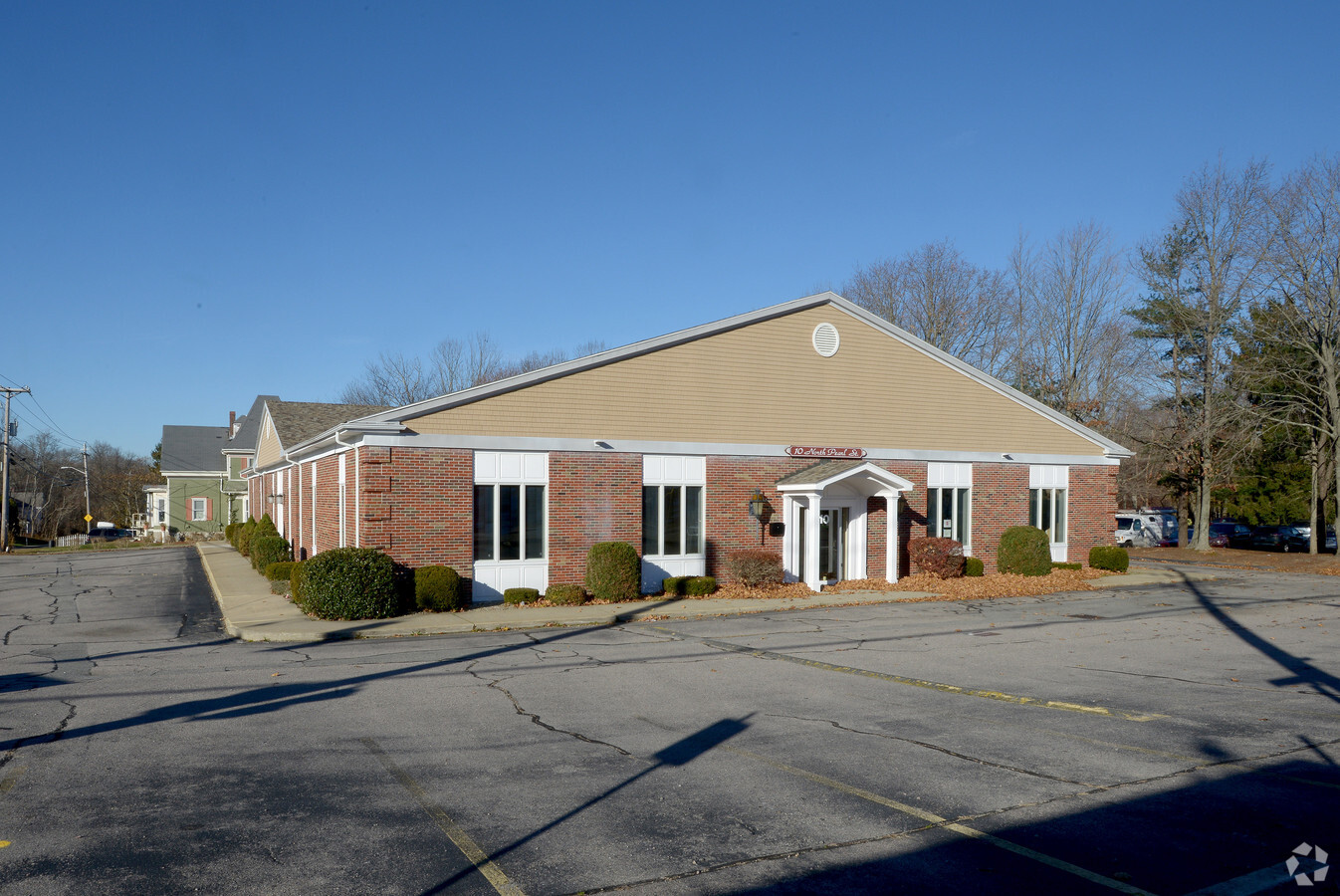
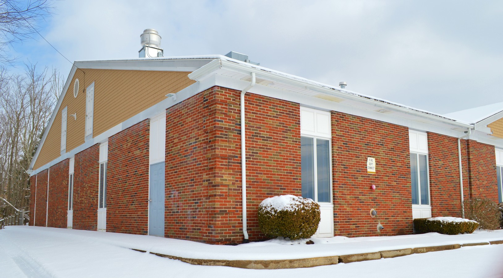
Property Record
10 N Pearl St, Brockton, MA 02301
NEARBY LISTINGS FOR SALE OR LEASE
Property Detail
10 N Pearl St
Governmentalpublicusegeneral
Plymouth
X
Massachusetts
25021C0379E
1.74 AC
0
Route 24
2024
Boston
510700
Boston-Cambridge-Newton, MA-NH
1,044 SF
BROC-000011-000155
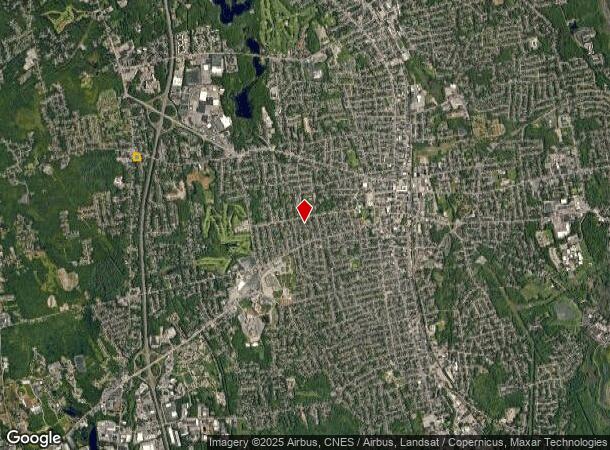
DEMOGRAPHICS near 10 N Pearl St
1 Mile
3 Mile
5 Mile
2024 Total Population
7,331
86,740
170,666
2029 Population
7,334
85,512
168,986
Pop Growth 2024-2029
+ 0.04%
(1.42%)
(0.98%)
Average Age
41
39
40
2024 Total Households
2,608
29,332
59,260
HH Growth 2024-2029
(0.12%)
(1.46%)
(1.03%)
Median Household Inc
$67,377
$74,248
$85,541
Avg Household Size
2.60
2.70
2.70
2024 Avg HH Vehicles
2.00
2.00
2.00
Median Home Value
$392,379
$399,231
$408,958
Median Year Built
1973
1956
1962
Nearby Places
- Restaurants
- Banks
- Shops
- Fitness
- Groceries
PUBLIC TRANSPORTATION
COMMUTER RAIL
Brockton (Middleborough/Lakeville Line - Massachusetts Bay Transportation Authority Commuter Rail (Purple Line))
DRIVE
WALK
Distance
Brockton (Middleborough/Lakeville Line - Massachusetts Bay Transportation Authority Commuter Rail (Purple Line))
3 min
1.2 mi
Campello (Middleborough/Lakeville Line - Massachusetts Bay Transportation Authority Commuter Rail (Purple Line))
DRIVE
WALK
Distance
Campello (Middleborough/Lakeville Line - Massachusetts Bay Transportation Authority Commuter Rail (Purple Line))
6 min
2.6 mi
AIRPORT
General Edward Lawrence Logan International
DRIVE
WALK
Distance
General Edward Lawrence Logan International
38 min
25.6 mi
Freight Ports
Port of Boston
DRIVE
WALK
Distance
Port of Boston
35 min
23.4 mi
SALE & LEASE HISTORY
LISTING DATE
SALE/LEASE

Nov 12, 2018
For Sale
May 14, 2018
For Sale
Mar 15, 2019
For Sale
Nearby Properties
Address
Land Use
TOTAL SIZE
Lot Size
Zoning
Address
Land Use
TOTAL SIZE
Lot Size
Zoning
3,088 SF
1.42 AC
C3
Address
Land Use
TOTAL SIZE
Lot Size
Zoning
410.70 AC
Address
Land Use
TOTAL SIZE
Lot Size
Zoning
780 SF
10.81 AC
C5
Address
Land Use
TOTAL SIZE
Lot Size
Zoning
449,704 SF
3.56 AC
C2
Address
Land Use
TOTAL SIZE
Lot Size
Zoning
1,292 SF
36.06 AC
C5
Address
Land Use
TOTAL SIZE
Lot Size
Zoning
95.27 AC
R1C
Address
Land Use
TOTAL SIZE
Lot Size
Zoning
1,352 SF
67 AC
R1B
Address
Land Use
TOTAL SIZE
Lot Size
Zoning
Address
Land Use
TOTAL SIZE
Lot Size
Zoning
8.09 AC
R1C
Address
Land Use
TOTAL SIZE
Lot Size
Zoning
3,088 SF
1.38 AC
C3
Address
Land Use
TOTAL SIZE
Lot Size
Zoning
27,951 SF
1.18 AC
R3
Address
Land Use
TOTAL SIZE
Lot Size
Zoning
3,438 SF
1.15 AC
C2
Address
Land Use
TOTAL SIZE
Lot Size
Zoning
223,200 SF
5.26 AC
C2
Address
Land Use
TOTAL SIZE
Lot Size
Zoning
2,600 SF
334.97 AC
R1C
Address
Land Use
TOTAL SIZE
Lot Size
Zoning
299,062 SF
22.73 AC
R2
Address
Land Use
TOTAL SIZE
Lot Size
Zoning
3,812 SF
0.64 AC
C3
Address
Land Use
TOTAL SIZE
Lot Size
Zoning
254,946 SF
11.22 AC
R2
Address
Land Use
TOTAL SIZE
Lot Size
Zoning
253,912 SF
10.33 AC
R3
Address
Land Use
TOTAL SIZE
Lot Size
Zoning
733 SF
16.41 AC
R1C
Address
Land Use
TOTAL SIZE
Lot Size
Zoning
920 SF
13.48 AC
R1C
Address
Land Use
TOTAL SIZE
Lot Size
Zoning
3,255 SF
1 AC
C3
Address
Land Use
TOTAL SIZE
Lot Size
Zoning
4,524 SF
12.31 AC
R1C
Address
Land Use
TOTAL SIZE
Lot Size
Zoning
126,237 SF
20.42 AC
R3
Address
Land Use
TOTAL SIZE
Lot Size
Zoning
285,036 SF
20.45 AC
R3
Address
Land Use
TOTAL SIZE
Lot Size
Zoning
210,600 SF
19.86 AC
Address
Land Use
TOTAL SIZE
Lot Size
Zoning
1,871 SF
39.63 AC
C2
Address
Land Use
TOTAL SIZE
Lot Size
Zoning
22.54 AC
C2
Address
Land Use
TOTAL SIZE
Lot Size
Zoning
647 SF
53.67 AC
I3
Address
Land Use
TOTAL SIZE
Lot Size
Zoning
130,080 SF
2.82 AC
R3
Address
Land Use
TOTAL SIZE
Lot Size
Zoning
133,108 SF
4.48 AC
R3
The World's #1 Commercial Real Estate Marketplace
Connect with us
© 2025 CoStar Group
The information above has been obtained from sources believed reliable. While we do not doubt its accuracy we have not verified it and make no guarantee, warranty or representation about it. It is your responsibility to independently confirm its accuracy and completeness. Any projections, opinions, assumptions, or estimates used are for example only and do not represent the current or future performance of the property. The value of this transaction to you depends on tax and other factors which should be evaluated by your tax, financial, and legal advisors. You and your advisors should conduct a careful, independent investigation of the property to determine to your satisfaction the suitability of the property for your needs.