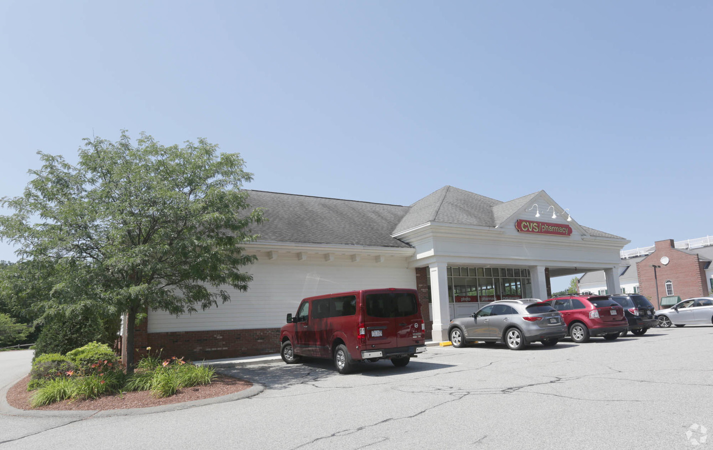
Property Record
100 Boston Rd, Groton, MA 01450
NEARBY LISTINGS FOR SALE OR LEASE
Property Detail
100 Boston Rd
GROT-000222-000019
Middlesex
Commercialnec
Massachusetts
X
9 AC
25027C0325E
Groton/Townsend
2025
Boston
2025
Boston-Cambridge-Newton, MA-NH
326101
DEMOGRAPHICS near 100 Boston Rd
1 Mile
3 Mile
5 Mile
2024 Total Population
833
12,711
38,610
2029 Population
819
12,616
38,344
Pop Growth 2024-2029
(1.68%)
(0.75%)
(0.69%)
Average Age
41
42
42
2024 Total Households
293
4,809
14,286
HH Growth 2024-2029
(1.71%)
(0.81%)
(0.74%)
Median Household Inc
$182,499
$136,877
$133,222
Avg Household Size
2.70
2.50
2.60
2024 Avg HH Vehicles
2.00
2.00
2.00
Median Home Value
$689,814
$498,570
$498,709
Median Year Built
1983
1980
1981
Nearby Places
- Restaurants
- Banks
- Shops
- Fitness
- Groceries
PUBLIC TRANSPORTATION
COMMUTER RAIL
Ayer (Fitchburg/South Acton Line - Massachusetts Bay Transportation Authority Commuter Rail (Purple Line))
DRIVE
WALK
Distance
Ayer (Fitchburg/South Acton Line - Massachusetts Bay Transportation Authority Commuter Rail (Purple Line))
10 min
4.6 mi
Shirley (Fitchburg/South Acton Line - Massachusetts Bay Transportation Authority Commuter Rail (Purple Line))
DRIVE
WALK
Distance
Shirley (Fitchburg/South Acton Line - Massachusetts Bay Transportation Authority Commuter Rail (Purple Line))
15 min
7.2 mi
AIRPORT
Manchester Boston Regional
DRIVE
WALK
Distance
Manchester Boston Regional
52 min
29.4 mi
Worcester Regional
DRIVE
WALK
Distance
Worcester Regional
56 min
39.5 mi
Freight Ports
Port of Boston
DRIVE
WALK
Distance
Port of Boston
62 min
37.5 mi
Nearby Properties
Address
Land Use
TOTAL SIZE
Lot Size
Zoning
Address
Land Use
TOTAL SIZE
Lot Size
Zoning
329,818 SF
55 AC
A1
Address
Land Use
TOTAL SIZE
Lot Size
Zoning
35.63 AC
O
Address
Land Use
TOTAL SIZE
Lot Size
Zoning
51,888 SF
57.38 AC
LI
Address
Land Use
TOTAL SIZE
Lot Size
Zoning
Address
Land Use
TOTAL SIZE
Lot Size
Zoning
105,559 SF
35.45 AC
A1
Address
Land Use
TOTAL SIZE
Lot Size
Zoning
343,400 SF
20 AC
LI
Address
Land Use
TOTAL SIZE
Lot Size
Zoning
213,950 SF
22.71 AC
I
Address
Land Use
TOTAL SIZE
Lot Size
Zoning
8.44 AC
B1
Address
Land Use
TOTAL SIZE
Lot Size
Zoning
14.90 AC
RA
Address
Land Use
TOTAL SIZE
Lot Size
Zoning
6.50 AC
RA
Address
Land Use
TOTAL SIZE
Lot Size
Zoning
84.10 AC
15
Address
Land Use
TOTAL SIZE
Lot Size
Zoning
58,738 SF
183.84 AC
RA
Address
Land Use
TOTAL SIZE
Lot Size
Zoning
130 AC
RA
Address
Land Use
TOTAL SIZE
Lot Size
Zoning
20,102 SF
1.26 AC
DB
Address
Land Use
TOTAL SIZE
Lot Size
Zoning
94,159 SF
13.31 AC
I
Address
Land Use
TOTAL SIZE
Lot Size
Zoning
49,689 SF
3.67 AC
GB
Address
Land Use
TOTAL SIZE
Lot Size
Zoning
96,036 SF
9.82 AC
I
Address
Land Use
TOTAL SIZE
Lot Size
Zoning
54,526 SF
1.84 AC
A2
Address
Land Use
TOTAL SIZE
Lot Size
Zoning
107,452 SF
5.35 AC
I
Address
Land Use
TOTAL SIZE
Lot Size
Zoning
14,700 SF
0.75 AC
DB
Address
Land Use
TOTAL SIZE
Lot Size
Zoning
133,239 SF
12.12 AC
I
Address
Land Use
TOTAL SIZE
Lot Size
Zoning
160,860 SF
5.81 AC
I
Address
Land Use
TOTAL SIZE
Lot Size
Zoning
36,400 SF
4.26 AC
A2
Address
Land Use
TOTAL SIZE
Lot Size
Zoning
16.66 AC
RA
Address
Land Use
TOTAL SIZE
Lot Size
Zoning
13,786 SF
2.79 AC
RA
Address
Land Use
TOTAL SIZE
Lot Size
Zoning
13,312 SF
1.20 AC
GB
Address
Land Use
TOTAL SIZE
Lot Size
Zoning
91,580 SF
6.67 AC
I
Address
Land Use
TOTAL SIZE
Lot Size
Zoning
68,200 SF
6.43 AC
B1
Address
Land Use
TOTAL SIZE
Lot Size
Zoning
115,352 SF
6.78 AC
I
Address
Land Use
TOTAL SIZE
Lot Size
Zoning
62,372 SF
6.18 AC
LI
The World's #1 Commercial Real Estate Marketplace
Connect with us
© 2025 CoStar Group
The information above has been obtained from sources believed reliable. While we do not doubt its accuracy we have not verified it and make no guarantee, warranty or representation about it. It is your responsibility to independently confirm its accuracy and completeness. Any projections, opinions, assumptions, or estimates used are for example only and do not represent the current or future performance of the property. The value of this transaction to you depends on tax and other factors which should be evaluated by your tax, financial, and legal advisors. You and your advisors should conduct a careful, independent investigation of the property to determine to your satisfaction the suitability of the property for your needs.