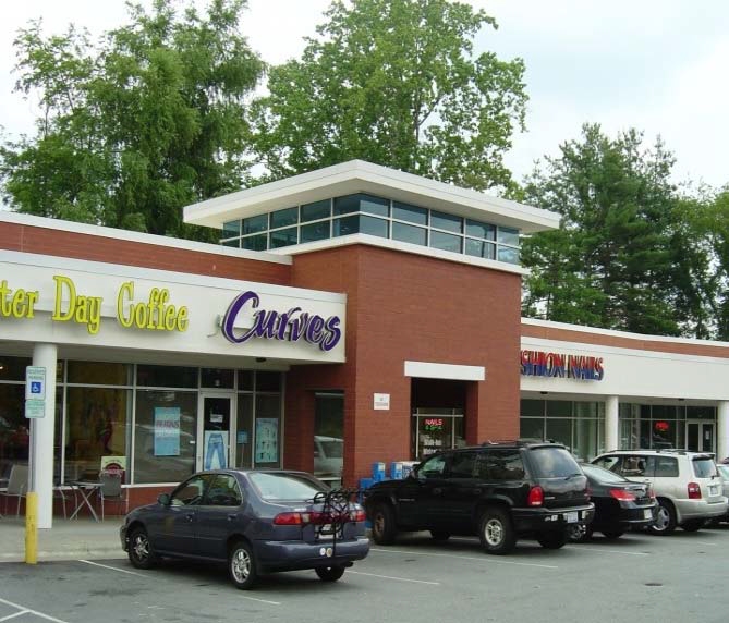
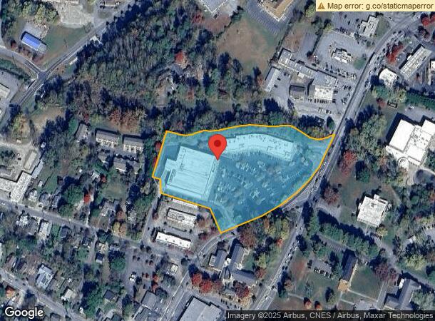
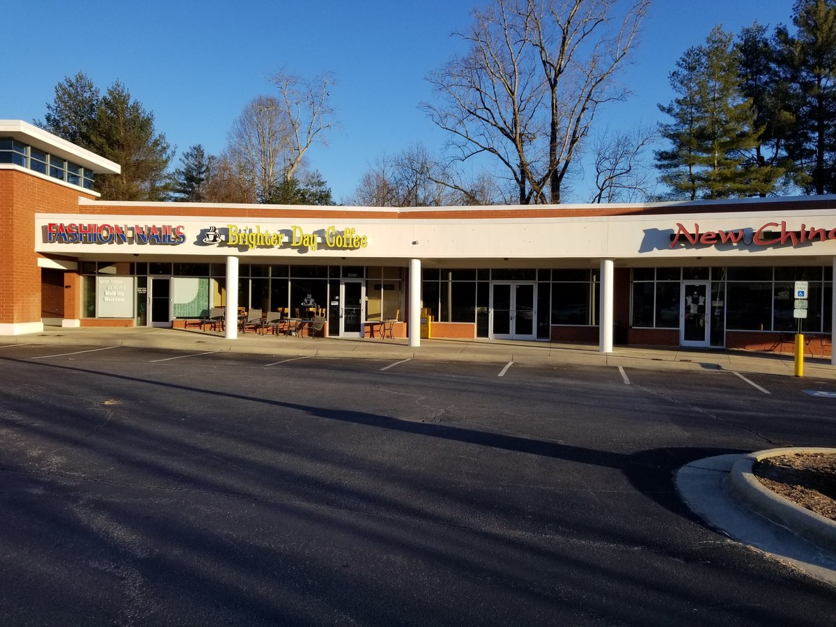
Property Record
100 College Station Dr, Brevard, NC 28712
NEARBY LISTINGS FOR SALE OR LEASE
Property Detail
100 College Station Dr
8586-62-0921-000
LT B CALDWELL ST
Supermarket
Transylvania
AE
North Carolina
3700858600J
b
2024
5.90 AC
2024
North Carolina West/Cherokee Area
960202
Other Market Areas
33,197 SF
Brevard, NC
DEMOGRAPHICS near 100 College Station Dr
1 Mile
3 Mile
5 Mile
2024 Total Population
4,958
12,104
17,429
2029 Population
5,057
12,344
17,761
Pop Growth 2024-2029
+ 2.00%
+ 1.98%
+ 1.90%
Average Age
45
45
46
2024 Total Households
2,215
5,279
7,539
HH Growth 2024-2029
+ 1.81%
+ 1.86%
+ 1.80%
Median Household Inc
$53,187
$58,795
$59,242
Avg Household Size
2.00
2.10
2.20
2024 Avg HH Vehicles
2.00
2.00
2.00
Median Home Value
$300,881
$311,514
$296,530
Median Year Built
1971
1974
1977
Nearby Places
- Restaurants
- Banks
- Shops
- Fitness
- Groceries
PUBLIC TRANSPORTATION
AIRPORT
Asheville Regional
DRIVE
WALK
Distance
Asheville Regional
29 min
19.0 mi
Freight Ports
North Charleston Terminal
DRIVE
WALK
Distance
North Charleston Terminal
299 min
260.3 mi
SALE & LEASE HISTORY
LISTING DATE
SALE/LEASE

Mar 13, 2019
For Lease
Jun 20, 2019
For Lease
Nearby Properties
Address
Land Use
TOTAL SIZE
Lot Size
Zoning
Address
Land Use
TOTAL SIZE
Lot Size
Zoning
13,072 SF
112.84 AC
R2
Address
Land Use
TOTAL SIZE
Lot Size
Zoning
25.70 AC
OI
Address
Land Use
TOTAL SIZE
Lot Size
Zoning
13,096 SF
1 AC
Address
Land Use
TOTAL SIZE
Lot Size
Zoning
62,646 SF
10.02 AC
R1
Address
Land Use
TOTAL SIZE
Lot Size
Zoning
7,721 SF
116.12 AC
Address
Land Use
TOTAL SIZE
Lot Size
Zoning
11,840 SF
33.12 AC
R2
Address
Land Use
TOTAL SIZE
Lot Size
Zoning
72,158 SF
3 AC
R3
Address
Land Use
TOTAL SIZE
Lot Size
Zoning
80,469 SF
14.60 AC
R2
Address
Land Use
TOTAL SIZE
Lot Size
Zoning
61,155 SF
11.06 AC
R1
Address
Land Use
TOTAL SIZE
Lot Size
Zoning
81,730 SF
17.59 AC
C2
Address
Land Use
TOTAL SIZE
Lot Size
Zoning
55,800 SF
1.02 AC
C1
Address
Land Use
TOTAL SIZE
Lot Size
Zoning
37,298 SF
6.22 AC
C4
Address
Land Use
TOTAL SIZE
Lot Size
Zoning
51,024 SF
1.33 AC
C2
Address
Land Use
TOTAL SIZE
Lot Size
Zoning
13,219 SF
149.33 AC
Address
Land Use
TOTAL SIZE
Lot Size
Zoning
14,036 SF
6.88 AC
C4
Address
Land Use
TOTAL SIZE
Lot Size
Zoning
34,574 SF
7.46 AC
OI
Address
Land Use
TOTAL SIZE
Lot Size
Zoning
11,000 SF
6.10 AC
C4
Address
Land Use
TOTAL SIZE
Lot Size
Zoning
33,505 SF
2.70 AC
C2
Address
Land Use
TOTAL SIZE
Lot Size
Zoning
1,760 SF
26.38 AC
OI
Address
Land Use
TOTAL SIZE
Lot Size
Zoning
60,750 SF
6.94 AC
Address
Land Use
TOTAL SIZE
Lot Size
Zoning
49,569 SF
6.22 AC
Address
Land Use
TOTAL SIZE
Lot Size
Zoning
8,850 SF
218.53 AC
Address
Land Use
TOTAL SIZE
Lot Size
Zoning
19,820 SF
165 AC
C1
Address
Land Use
TOTAL SIZE
Lot Size
Zoning
30,576 SF
6.40 AC
R3
Address
Land Use
TOTAL SIZE
Lot Size
Zoning
37,579 SF
1.97 AC
Address
Land Use
TOTAL SIZE
Lot Size
Zoning
11,016 SF
8.18 AC
R2
The World's #1 Commercial Real Estate Marketplace
Connect with us
© 2025 CoStar Group
The information above has been obtained from sources believed reliable. While we do not doubt its accuracy we have not verified it and make no guarantee, warranty or representation about it. It is your responsibility to independently confirm its accuracy and completeness. Any projections, opinions, assumptions, or estimates used are for example only and do not represent the current or future performance of the property. The value of this transaction to you depends on tax and other factors which should be evaluated by your tax, financial, and legal advisors. You and your advisors should conduct a careful, independent investigation of the property to determine to your satisfaction the suitability of the property for your needs.