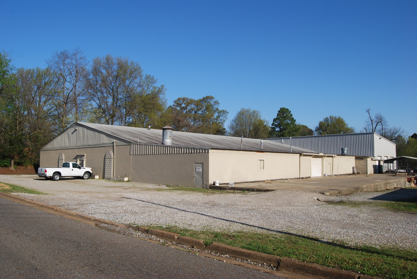
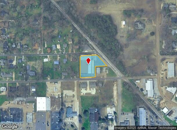
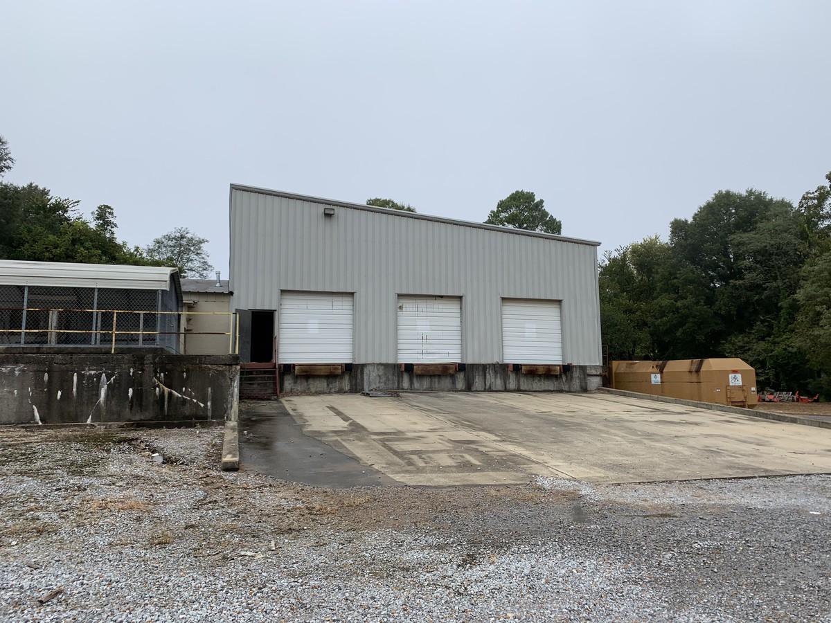
Property Record
100 E Valley St, Hernando, MS 38632
NEARBY LISTINGS FOR SALE OR LEASE
Property Detail
100 E Valley St
Memphis, TN-MS-AR
Valley Street S/D
3074185420000200
VALLEY STREET S/D LOT 2
Commercialnec
DeSoto
X
Mississippi
28033C0230H
2
0
1.14 AC
2024
DeSoto
071122
Memphis
12,002 SF
DEMOGRAPHICS near 100 E Valley St
1 Mile
3 Mile
5 Mile
2024 Total Population
6,296
19,102
25,966
2029 Population
6,827
20,839
28,397
Pop Growth 2024-2029
+ 8.43%
+ 9.09%
+ 9.36%
Average Age
38
39
39
2024 Total Households
2,269
6,799
9,188
HH Growth 2024-2029
+ 8.46%
+ 9.06%
+ 9.34%
Median Household Inc
$55,704
$68,628
$79,563
Avg Household Size
2.60
2.70
2.80
2024 Avg HH Vehicles
2.00
2.00
2.00
Median Home Value
$271,953
$278,064
$279,538
Median Year Built
1994
1999
1999
Nearby Places
- Restaurants
- Banks
- Shops
- Fitness
- Groceries
PUBLIC TRANSPORTATION
AIRPORT
Memphis International
DRIVE
WALK
Distance
Memphis International
24 min
18.5 mi
Freight Ports
Port of Shreveport
DRIVE
WALK
Distance
Port of Shreveport
426 min
392.2 mi
SALE & LEASE HISTORY
LISTING DATE
SALE/LEASE

Oct 09, 2019
For Sale
Oct 09, 2019
For Sale
May 03, 2018
For Sale
Aug 23, 2019
For Lease
Nearby Properties
Address
Land Use
TOTAL SIZE
Lot Size
Zoning
Address
Land Use
TOTAL SIZE
Lot Size
Zoning
153.19 AC
M-1
Address
Land Use
TOTAL SIZE
Lot Size
Zoning
19,367 SF
20.34 AC
PUD
Address
Land Use
TOTAL SIZE
Lot Size
Zoning
159,834 SF
20.07 AC
PUD
Address
Land Use
TOTAL SIZE
Lot Size
Zoning
125,322 SF
19.42 AC
C-2
Address
Land Use
TOTAL SIZE
Lot Size
Zoning
13,533 SF
1.50 AC
PUD
Address
Land Use
TOTAL SIZE
Lot Size
Zoning
83,134 SF
27.54 AC
M-2
Address
Land Use
TOTAL SIZE
Lot Size
Zoning
64,797 SF
13.91 AC
M-1
Address
Land Use
TOTAL SIZE
Lot Size
Zoning
71,484 SF
6.45 AC
C-2
Address
Land Use
TOTAL SIZE
Lot Size
Zoning
55,903 SF
5.70 AC
C-4
Address
Land Use
TOTAL SIZE
Lot Size
Zoning
37,622 SF
5.63 AC
PUD
Address
Land Use
TOTAL SIZE
Lot Size
Zoning
18,556 SF
5.50 AC
C-2
Address
Land Use
TOTAL SIZE
Lot Size
Zoning
45,515 SF
2.60 AC
C-2
Address
Land Use
TOTAL SIZE
Lot Size
Zoning
24,163 SF
1.97 AC
C-2
Address
Land Use
TOTAL SIZE
Lot Size
Zoning
12,201 SF
3.44 AC
M-1
Address
Land Use
TOTAL SIZE
Lot Size
Zoning
54,338 SF
9.27 AC
M-1
Address
Land Use
TOTAL SIZE
Lot Size
Zoning
53,623 SF
2.69 AC
C-2
Address
Land Use
TOTAL SIZE
Lot Size
Zoning
23,530 SF
9.35 AC
M-1
Address
Land Use
TOTAL SIZE
Lot Size
Zoning
15.10 AC
C-2
Address
Land Use
TOTAL SIZE
Lot Size
Zoning
45,789 SF
10 AC
M-2
Address
Land Use
TOTAL SIZE
Lot Size
Zoning
100,140 SF
9.90 AC
M-2
Address
Land Use
TOTAL SIZE
Lot Size
Zoning
32,495 SF
6.61 AC
RM-6
Address
Land Use
TOTAL SIZE
Lot Size
Zoning
46,002 SF
8.26 AC
M-1
Address
Land Use
TOTAL SIZE
Lot Size
Zoning
35,000 SF
4.72 AC
PUD
Address
Land Use
TOTAL SIZE
Lot Size
Zoning
8,076 SF
4.04 AC
C-2
Address
Land Use
TOTAL SIZE
Lot Size
Zoning
9,450 SF
2.49 AC
C-2
Address
Land Use
TOTAL SIZE
Lot Size
Zoning
20,386 SF
3.24 AC
C-4
Address
Land Use
TOTAL SIZE
Lot Size
Zoning
20,120 SF
3.43 AC
PUD
Address
Land Use
TOTAL SIZE
Lot Size
Zoning
37,074 SF
5.46 AC
C-2
Address
Land Use
TOTAL SIZE
Lot Size
Zoning
21,206 SF
1.25 AC
C-4
The World's #1 Commercial Real Estate Marketplace
Connect with us
© 2025 CoStar Group
The information above has been obtained from sources believed reliable. While we do not doubt its accuracy we have not verified it and make no guarantee, warranty or representation about it. It is your responsibility to independently confirm its accuracy and completeness. Any projections, opinions, assumptions, or estimates used are for example only and do not represent the current or future performance of the property. The value of this transaction to you depends on tax and other factors which should be evaluated by your tax, financial, and legal advisors. You and your advisors should conduct a careful, independent investigation of the property to determine to your satisfaction the suitability of the property for your needs.