Property Record
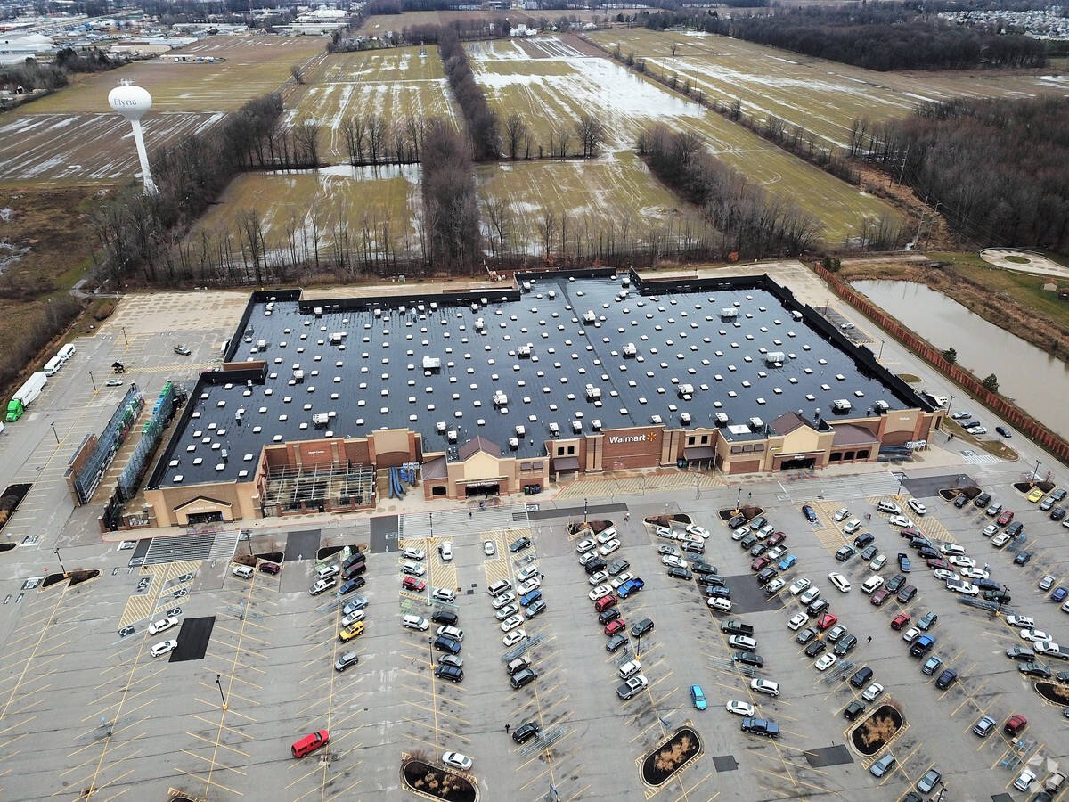
1000 Chestnut Commons Dr, Elyria, OH 44035


NEARBY LISTINGS FOR SALE OR LEASE
Property Detail
1000 Chestnut Commons Dr
Departmentstore
Lorain
X
Ohio
39093C0227D
19.97 AC
2023
Lorain County
2023
Cleveland
091100
Cleveland-Elyria, OH
206,128 SF
11-00-091-000-220
DEMOGRAPHICS near 1000 Chestnut Commons Dr
1 Mile
3 Mile
5 Mile
2024 Total Population
8,251
47,392
96,071
2029 Population
8,598
49,342
100,072
Pop Growth 2024-2029
+ 4.21%
+ 4.11%
+ 4.16%
Average Age
44
41
42
2024 Total Households
3,562
19,868
40,165
HH Growth 2024-2029
+ 4.15%
+ 4.05%
+ 4.13%
Median Household Inc
$63,134
$55,166
$60,345
Avg Household Size
2.30
2.30
2.30
2024 Avg HH Vehicles
2.00
2.00
2.00
Median Home Value
$177,311
$154,249
$170,119
Median Year Built
1992
1964
1971
Nearby Places
- Restaurants
- Banks
- Shops
- Fitness
- Groceries
PUBLIC TRANSPORTATION
COMMUTER RAIL
Elyria Amtrak (Capitol Limited - Amtrak, Lake Shore Limited - Amtrak)
DRIVE
WALK
Distance
Elyria Amtrak (Capitol Limited - Amtrak, Lake Shore Limited - Amtrak)
7 min
3.5 mi
AIRPORT
Cleveland-Hopkins International
DRIVE
WALK
Distance
Cleveland-Hopkins International
25 min
16.3 mi
Freight Ports
Port of Toledo
DRIVE
WALK
Distance
Port of Toledo
114 min
93.7 mi
Nearby Properties
Address
Land Use
TOTAL SIZE
Lot Size
Zoning
Address
Land Use
TOTAL SIZE
Lot Size
Zoning
427,871 SF
6.24 AC
Address
Land Use
TOTAL SIZE
Lot Size
Zoning
351,623 SF
3.13 AC
Address
Land Use
TOTAL SIZE
Lot Size
Zoning
199,200 SF
1.77 AC
Address
Land Use
TOTAL SIZE
Lot Size
Zoning
264,274 SF
15.03 AC
Address
Land Use
TOTAL SIZE
Lot Size
Zoning
127,609 SF
30.06 AC
Address
Land Use
TOTAL SIZE
Lot Size
Zoning
129,277 SF
17.35 AC
Address
Land Use
TOTAL SIZE
Lot Size
Zoning
150,180 SF
20.21 AC
Address
Land Use
TOTAL SIZE
Lot Size
Zoning
346,114 SF
37.97 AC
Address
Land Use
TOTAL SIZE
Lot Size
Zoning
79,556 SF
17.55 AC
Address
Land Use
TOTAL SIZE
Lot Size
Zoning
106,938 SF
1.12 AC
Address
Land Use
TOTAL SIZE
Lot Size
Zoning
32,784 SF
0.25 AC
Address
Land Use
TOTAL SIZE
Lot Size
Zoning
126,870 SF
22.54 AC
Address
Land Use
TOTAL SIZE
Lot Size
Zoning
115,898 SF
8.67 AC
Address
Land Use
TOTAL SIZE
Lot Size
Zoning
61,278 SF
8.25 AC
Address
Land Use
TOTAL SIZE
Lot Size
Zoning
40,000 SF
4.20 AC
Address
Land Use
TOTAL SIZE
Lot Size
Zoning
107,576 SF
14.79 AC
Address
Land Use
TOTAL SIZE
Lot Size
Zoning
57,634 SF
4.73 AC
Address
Land Use
TOTAL SIZE
Lot Size
Zoning
158,510 SF
6.01 AC
Address
Land Use
TOTAL SIZE
Lot Size
Zoning
151,565 SF
0.11 AC
Address
Land Use
TOTAL SIZE
Lot Size
Zoning
39,249 SF
0.74 AC
Address
Land Use
TOTAL SIZE
Lot Size
Zoning
76,610 SF
2.49 AC
Address
Land Use
TOTAL SIZE
Lot Size
Zoning
80,160 SF
4.67 AC
Address
Land Use
TOTAL SIZE
Lot Size
Zoning
106,325 SF
2.25 AC
Address
Land Use
TOTAL SIZE
Lot Size
Zoning
100,025 SF
9.06 AC
Address
Land Use
TOTAL SIZE
Lot Size
Zoning
21,693 SF
1.27 AC
Address
Land Use
TOTAL SIZE
Lot Size
Zoning
47,968 SF
5.40 AC
Address
Land Use
TOTAL SIZE
Lot Size
Zoning
141,945 SF
7.80 AC
Address
Land Use
TOTAL SIZE
Lot Size
Zoning
286,466 SF
19.67 AC
Address
Land Use
TOTAL SIZE
Lot Size
Zoning
174,353 SF
13.54 AC
The World's #1 Commercial Real Estate Marketplace
Connect with us
© 2025 CoStar Group
The information above has been obtained from sources believed reliable. While we do not doubt its accuracy we have not verified it and make no guarantee, warranty or representation about it. It is your responsibility to independently confirm its accuracy and completeness. Any projections, opinions, assumptions, or estimates used are for example only and do not represent the current or future performance of the property. The value of this transaction to you depends on tax and other factors which should be evaluated by your tax, financial, and legal advisors. You and your advisors should conduct a careful, independent investigation of the property to determine to your satisfaction the suitability of the property for your needs.