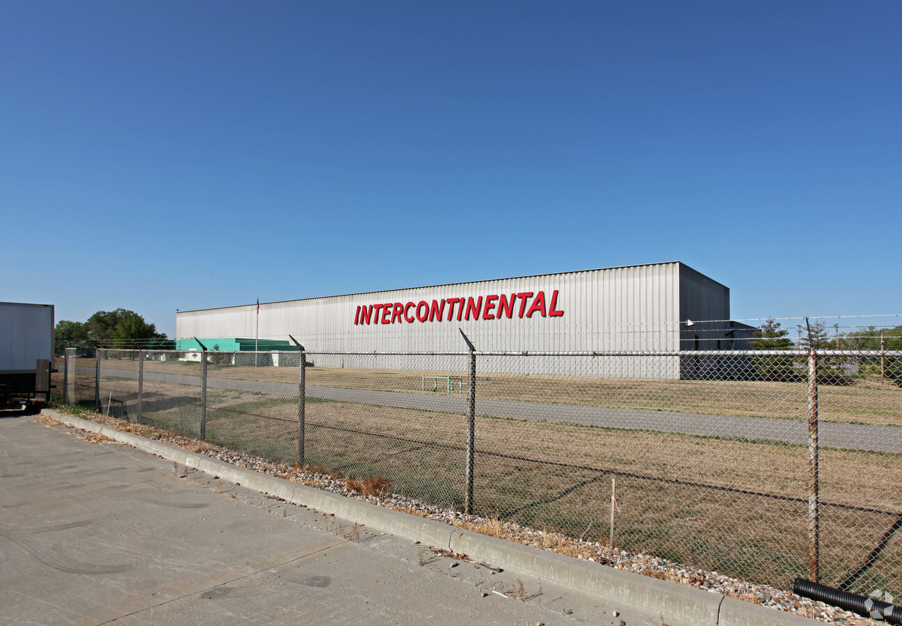
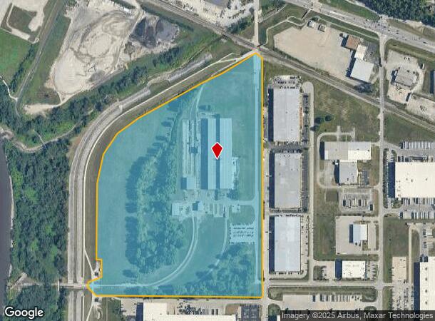
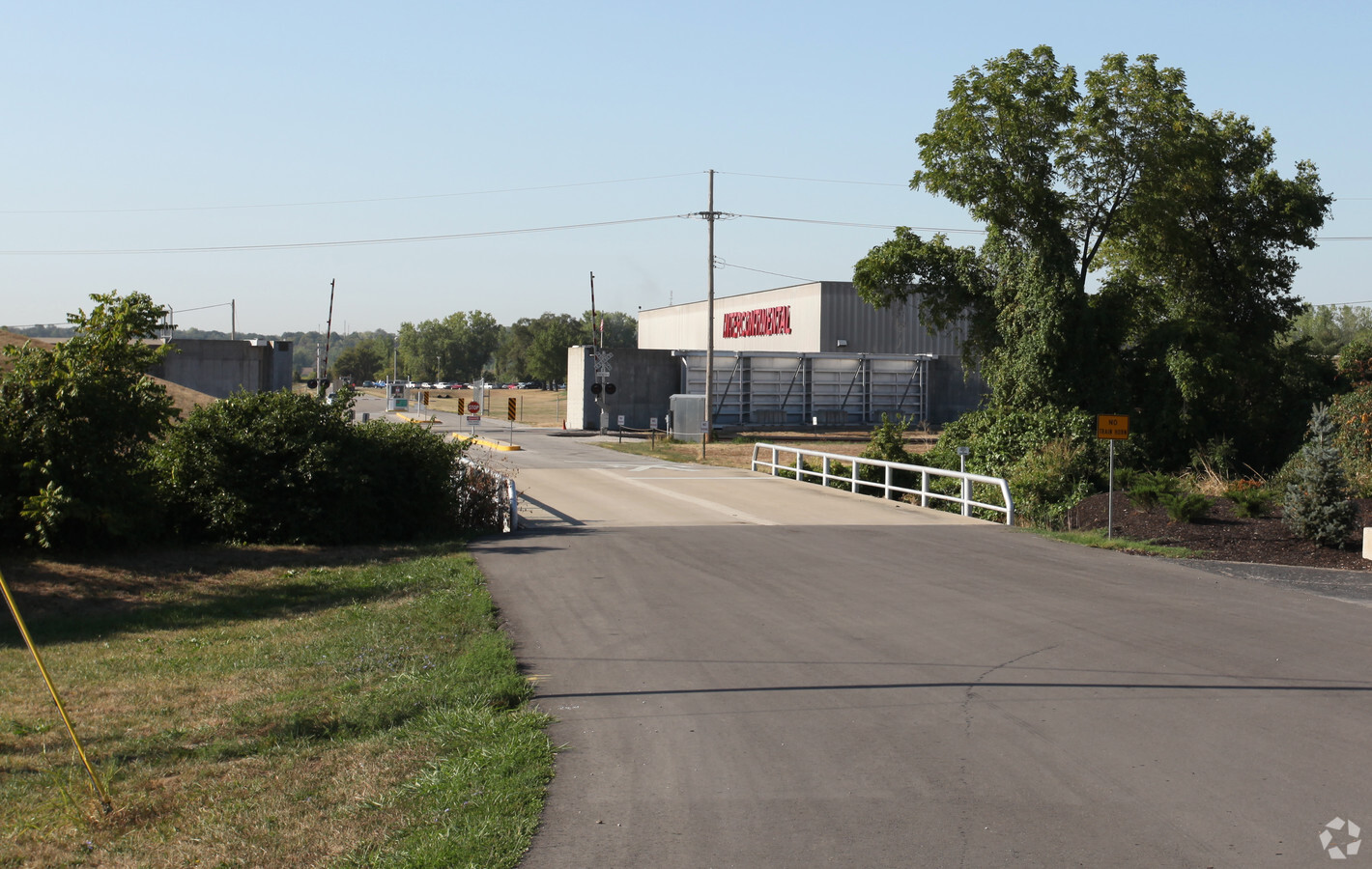
Property Record
1000 Nw Intercon Dr, Riverside, MO 64150
NEARBY LISTINGS FOR SALE OR LEASE
Property Detail
1000 Nw Intercon Dr
23-30-06-000-000-104-000
Riverside
Miningfacilityoilgasmineralpreciousmetals
RIVERSIDE A TRACT OF LAND IN THE W 1/2 OF SEC 6, S OF BURLINGTON RR, BEG N 1328, FROM THE SE COR OF SW 1/4
X
Platte
29095C0125G
Missouri
2023
54.64 AC
2023
Riverside/Parkville
030101
Kansas City
277,006 SF
Kansas City, MO-KS
DEMOGRAPHICS near 1000 Nw Intercon Dr
1 Mile
3 Mile
5 Mile
2024 Total Population
1,592
35,375
149,529
2029 Population
1,743
37,618
155,270
Pop Growth 2024-2029
+ 9.48%
+ 6.34%
+ 3.84%
Average Age
41
39
38
2024 Total Households
586
14,120
57,895
HH Growth 2024-2029
+ 9.56%
+ 6.62%
+ 4.30%
Median Household Inc
$97,861
$68,684
$61,069
Avg Household Size
2.70
2.40
2.50
2024 Avg HH Vehicles
2.00
2.00
2.00
Median Home Value
$357,894
$258,228
$196,260
Median Year Built
1985
1978
1971
Nearby Places
- Restaurants
- Banks
- Shops
- Fitness
- Groceries
PUBLIC TRANSPORTATION
AIRPORT
Kansas City International
DRIVE
WALK
Distance
Kansas City International
26 min
16.1 mi
Freight Ports
Tulsa Port Of Catoosa
DRIVE
WALK
Distance
Tulsa Port Of Catoosa
276 min
242.5 mi
Nearby Properties
Address
Land Use
TOTAL SIZE
Lot Size
Zoning
Address
Land Use
TOTAL SIZE
Lot Size
Zoning
26.13 AC
PEC
Address
Land Use
TOTAL SIZE
Lot Size
Zoning
846,143 SF
51.25 AC
Address
Land Use
TOTAL SIZE
Lot Size
Zoning
260,200 SF
71.68 AC
Address
Land Use
TOTAL SIZE
Lot Size
Zoning
215,920 SF
38.28 AC
Address
Land Use
TOTAL SIZE
Lot Size
Zoning
139,499 SF
20.51 AC
KR1B
Address
Land Use
TOTAL SIZE
Lot Size
Zoning
164,676 SF
4.40 AC
B4P
Address
Land Use
TOTAL SIZE
Lot Size
Zoning
112,170 SF
24.03 AC
Address
Land Use
TOTAL SIZE
Lot Size
Zoning
239,083 SF
85.48 AC
KM3
Address
Land Use
TOTAL SIZE
Lot Size
Zoning
370,998 SF
34.29 AC
Address
Land Use
TOTAL SIZE
Lot Size
Zoning
215,087 SF
30.23 AC
Address
Land Use
TOTAL SIZE
Lot Size
Zoning
187,674 SF
14.62 AC
Address
Land Use
TOTAL SIZE
Lot Size
Zoning
491,448 SF
22.53 AC
Address
Land Use
TOTAL SIZE
Lot Size
Zoning
207,491 SF
616.94 AC
KR1
Address
Land Use
TOTAL SIZE
Lot Size
Zoning
448,340 SF
6.42 AC
Address
Land Use
TOTAL SIZE
Lot Size
Zoning
824,130 SF
20.12 AC
Address
Land Use
TOTAL SIZE
Lot Size
Zoning
61,126 SF
5.95 AC
Address
Land Use
TOTAL SIZE
Lot Size
Zoning
552,085 SF
21.81 AC
Address
Land Use
TOTAL SIZE
Lot Size
Zoning
340,930 SF
15.31 AC
Address
Land Use
TOTAL SIZE
Lot Size
Zoning
42,126 SF
6.73 AC
Address
Land Use
TOTAL SIZE
Lot Size
Zoning
251,983 SF
15.77 AC
Address
Land Use
TOTAL SIZE
Lot Size
Zoning
271,430 SF
15.70 AC
Address
Land Use
TOTAL SIZE
Lot Size
Zoning
245,507 SF
14.22 AC
Address
Land Use
TOTAL SIZE
Lot Size
Zoning
480,000 SF
20.10 AC
Address
Land Use
TOTAL SIZE
Lot Size
Zoning
52,129 SF
9.57 AC
Address
Land Use
TOTAL SIZE
Lot Size
Zoning
25,621 SF
1.09 AC
B4P
Address
Land Use
TOTAL SIZE
Lot Size
Zoning
479,408 SF
14.94 AC
Address
Land Use
TOTAL SIZE
Lot Size
Zoning
221,952 SF
28.85 AC
Address
Land Use
TOTAL SIZE
Lot Size
Zoning
59,614 SF
7.64 AC
Address
Land Use
TOTAL SIZE
Lot Size
Zoning
48,857 SF
3.74 AC
Address
Land Use
TOTAL SIZE
Lot Size
Zoning
409,280 SF
10.82 AC
The World's #1 Commercial Real Estate Marketplace
Connect with us
© 2025 CoStar Group
The information above has been obtained from sources believed reliable. While we do not doubt its accuracy we have not verified it and make no guarantee, warranty or representation about it. It is your responsibility to independently confirm its accuracy and completeness. Any projections, opinions, assumptions, or estimates used are for example only and do not represent the current or future performance of the property. The value of this transaction to you depends on tax and other factors which should be evaluated by your tax, financial, and legal advisors. You and your advisors should conduct a careful, independent investigation of the property to determine to your satisfaction the suitability of the property for your needs.