Property Record
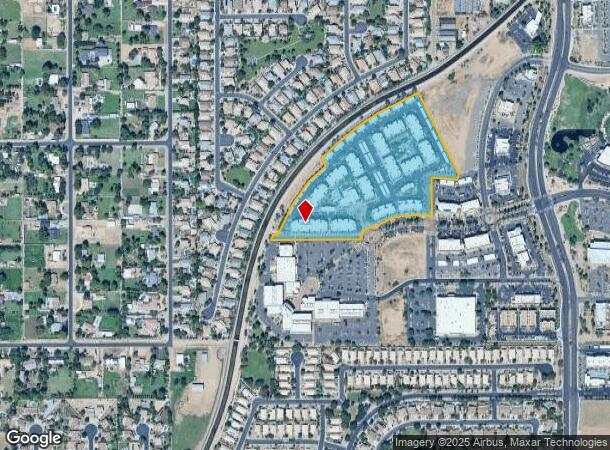
1000 S Gilbert Rd, Gilbert, AZ 85296

NEARBY LISTINGS FOR SALE OR LEASE
-
-
View all Gilbert listings for sale on LoopNet.com
Property Detail
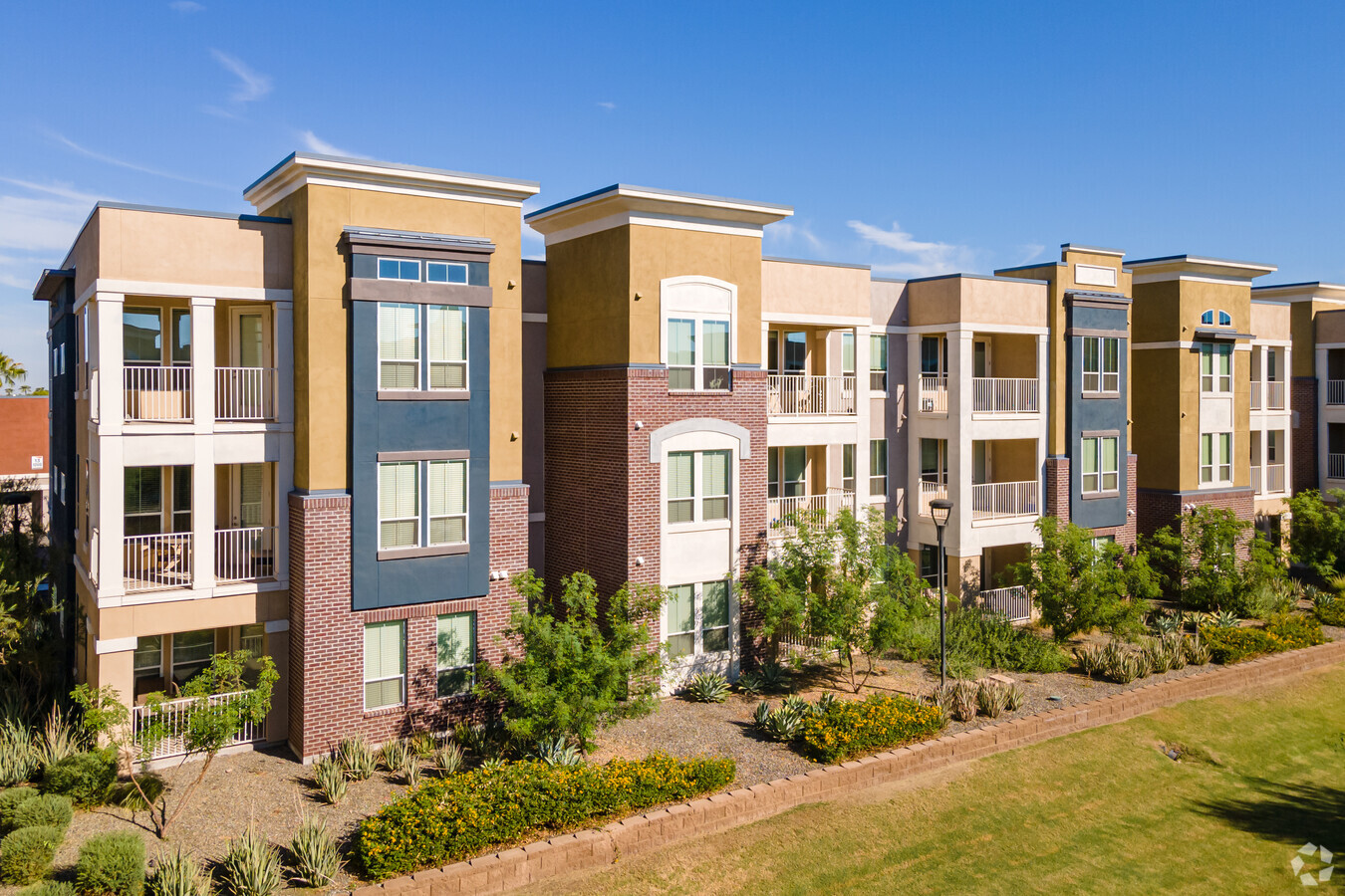
1000 S Gilbert Rd
Phoenix-Mesa-Scottsdale, AZ
Gilbert Town Square Lot 6C 6D And Tract
302-83-966
GILBERT TOWN SQUARE LOT 6C 6D AND TRACT C MCR 1321-02
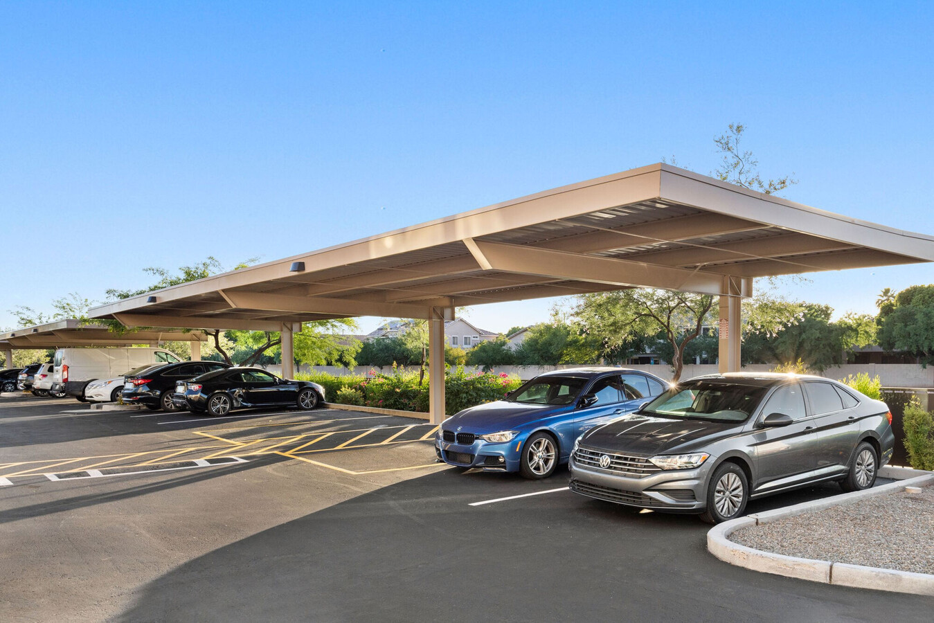
Apartment
Maricopa
AH
Arizona
04013C2733M
6c
2024
14.36 AC
2025
Downtown Gilbert
814300
Phoenix
372,953 SF
DEMOGRAPHICS near 1000 S Gilbert Rd
1 Mile
3 Mile
5 Mile
2024 Total Population
16,016
132,852
344,492
2029 Population
17,216
142,920
371,734
Pop Growth 2024-2029
+ 7.49%
+ 7.58%
+ 7.91%
Average Age
38
37
36
2024 Total Households
5,800
46,832
122,140
HH Growth 2024-2029
+ 7.53%
+ 7.68%
+ 8.00%
Median Household Inc
$102,231
$96,434
$90,874
Avg Household Size
2.70
2.80
2.70
2024 Avg HH Vehicles
2.00
2.00
2.00
Median Home Value
$414,938
$407,146
$395,036
Median Year Built
1994
1994
1993
Nearby Places
- Restaurants
- Banks
- Shops
- Fitness
- Groceries
PUBLIC TRANSPORTATION
AIRPORT
Phoenix-Mesa Gateway
DRIVE
WALK
Distance
Phoenix-Mesa Gateway
17 min
8.9 mi
Phoenix Sky Harbor International
DRIVE
WALK
Distance
Phoenix Sky Harbor International
32 min
20.4 mi
Freight Ports
Port of San Diego
DRIVE
WALK
Distance
Port of San Diego
409 min
370.6 mi
Nearby Properties
Address
Land Use
TOTAL SIZE
Lot Size
Zoning
Address
Land Use
TOTAL SIZE
Lot Size
Zoning
301,190 SF
77.17 AC
PF
Address
Land Use
TOTAL SIZE
Lot Size
Zoning
290,450 SF
38.47 AC
PF
Address
Land Use
TOTAL SIZE
Lot Size
Zoning
300,885 SF
37.63 AC
AG
Address
Land Use
TOTAL SIZE
Lot Size
Zoning
309,031 SF
18.55 AC
Address
Land Use
TOTAL SIZE
Lot Size
Zoning
16.57 AC
PF
Address
Land Use
TOTAL SIZE
Lot Size
Zoning
267,868 SF
13.18 AC
R-CH
Address
Land Use
TOTAL SIZE
Lot Size
Zoning
357,691 SF
19.87 AC
PAD
Address
Land Use
TOTAL SIZE
Lot Size
Zoning
272,380 SF
15.30 AC
PAD
Address
Land Use
TOTAL SIZE
Lot Size
Zoning
358,620 SF
18.72 AC
PAD
Address
Land Use
TOTAL SIZE
Lot Size
Zoning
237,329 SF
9.76 AC
C-N
Address
Land Use
TOTAL SIZE
Lot Size
Zoning
253,276 SF
18.33 AC
PAD
Address
Land Use
TOTAL SIZE
Lot Size
Zoning
115,920 SF
18.19 AC
Address
Land Use
TOTAL SIZE
Lot Size
Zoning
154,816 SF
35.89 AC
I-1
Address
Land Use
TOTAL SIZE
Lot Size
Zoning
270,243 SF
15.52 AC
M-M
Address
Land Use
TOTAL SIZE
Lot Size
Zoning
131,003 SF
12.80 AC
PF
Address
Land Use
TOTAL SIZE
Lot Size
Zoning
229,536 SF
13.94 AC
PAD
Address
Land Use
TOTAL SIZE
Lot Size
Zoning
222,882 SF
16.13 AC
PAD
Address
Land Use
TOTAL SIZE
Lot Size
Zoning
90,920 SF
2.27 AC
C-O
Address
Land Use
TOTAL SIZE
Lot Size
Zoning
82,212 SF
40 AC
PF
Address
Land Use
TOTAL SIZE
Lot Size
Zoning
93,287 SF
29.54 AC
PF
Address
Land Use
TOTAL SIZE
Lot Size
Zoning
205,823 SF
6.97 AC
PAD
Address
Land Use
TOTAL SIZE
Lot Size
Zoning
104,927 SF
7.13 AC
Address
Land Use
TOTAL SIZE
Lot Size
Zoning
189,559 SF
15.24 AC
PAD
Address
Land Use
TOTAL SIZE
Lot Size
Zoning
69,974 SF
40 AC
AG
Address
Land Use
TOTAL SIZE
Lot Size
Zoning
312,526 SF
14.17 AC
PAD
Address
Land Use
TOTAL SIZE
Lot Size
Zoning
230,826 SF
25.95 AC
PAD
Address
Land Use
TOTAL SIZE
Lot Size
Zoning
84,739 SF
11.90 AC
PF
Address
Land Use
TOTAL SIZE
Lot Size
Zoning
237,573 SF
23.54 AC
I-1
Address
Land Use
TOTAL SIZE
Lot Size
Zoning
123,468 SF
24.22 AC
PF
The World's #1 Commercial Real Estate Marketplace
Connect with us
© 2025 CoStar Group
The information above has been obtained from sources believed reliable. While we do not doubt its accuracy we have not verified it and make no guarantee, warranty or representation about it. It is your responsibility to independently confirm its accuracy and completeness. Any projections, opinions, assumptions, or estimates used are for example only and do not represent the current or future performance of the property. The value of this transaction to you depends on tax and other factors which should be evaluated by your tax, financial, and legal advisors. You and your advisors should conduct a careful, independent investigation of the property to determine to your satisfaction the suitability of the property for your needs.