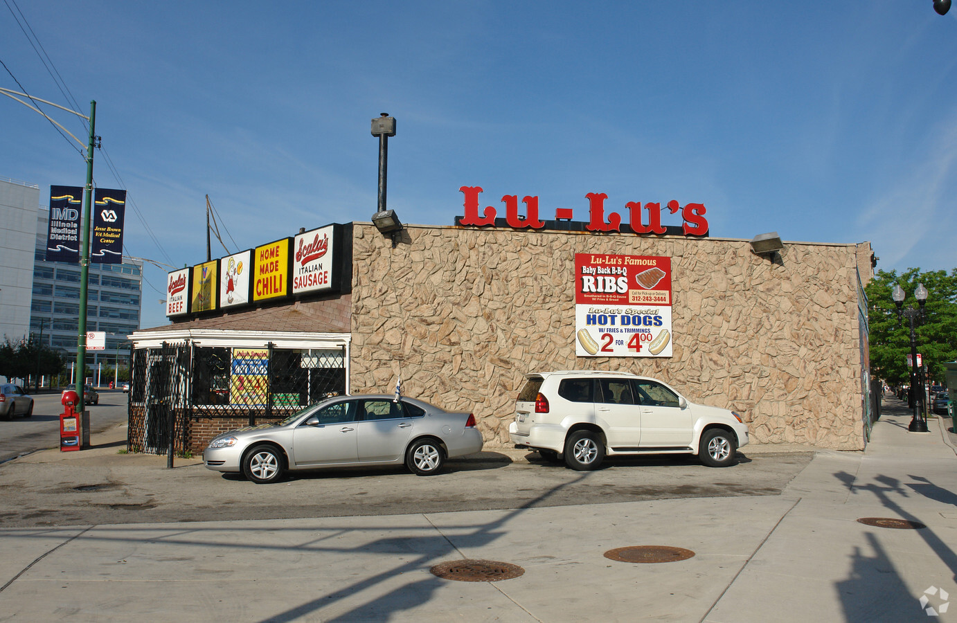
Property Record
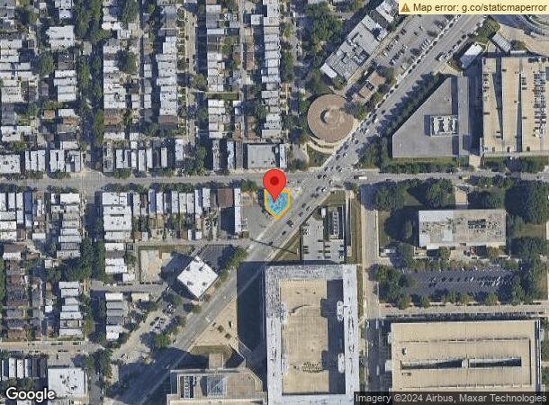
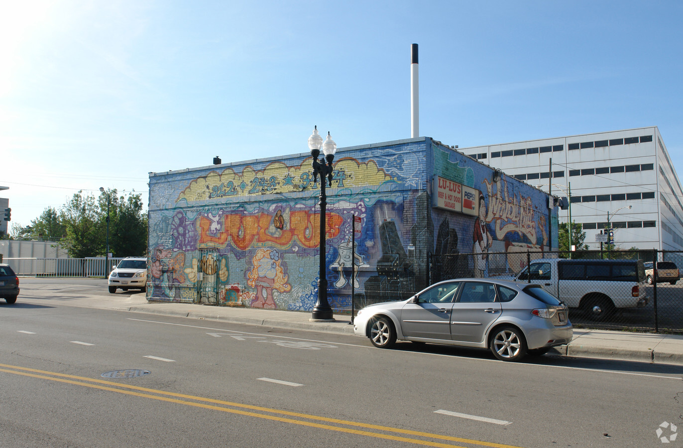
2201 W Taylor St, Chicago, IL 60612
NEARBY LISTINGS FOR SALE OR LEASE
-
-
-
-
-
-
-
-
-
-
-
-
-
-
-
-
-
-
-
No Photo
-
-
-
-
-
-
-
-
-
-
-
-
View all Chicago listings for lease on LoopNet.com
Property Detail
2201 W Taylor St
Chicago-Naperville-Elgin, IL-IN-WI
Others Sub
17-18-329-023-0000
(SUBDIVISION) OF PT BLK 6 IN MORRIS & OTHERS SUB LYIN G S OF TAYLOR ST & W OF S WESTERN AVE WH SW SEC 18-39-14
Commercialbuilding
Cook
X
Illinois
17031C0506J
3,2
2022
0.10 AC
2024
South Chicago
280900
Chicago
4,136 SF
DEMOGRAPHICS near 2201 W Taylor St
1 Mile
3 Mile
5 Mile
2024 Total Population
25,288
394,650
1,018,290
2029 Population
24,180
376,906
970,711
Pop Growth 2024-2029
(4.38%)
(4.50%)
(4.67%)
Average Age
35
36
37
2024 Total Households
10,262
173,582
448,185
HH Growth 2024-2029
(4.80%)
(4.19%)
(4.18%)
Median Household Inc
$51,725
$81,115
$81,722
Avg Household Size
2.30
2.10
2.20
2024 Avg HH Vehicles
1.00
1.00
1.00
Median Home Value
$330,753
$396,240
$408,821
Median Year Built
1969
1967
1962
Nearby Places
- Restaurants
- Banks
- Shops
- Fitness
- Groceries
PUBLIC TRANSPORTATION
TRANSIT/SUBWAY
Illinois Medical District (Blue Line - Chicago Transit Authority "L" Trains (The "L"))
Drive
Walk
Distance
Illinois Medical District (Blue Line - Chicago Transit Authority "L" Trains (The "L"))
1 min
14 min
0.7 mi
Polk Station (Pink Line - Chicago Transit Authority "L" Trains (The "L"))
Drive
Walk
Distance
Polk Station (Pink Line - Chicago Transit Authority "L" Trains (The "L"))
2 min
13 min
0.7 mi
Western Station (Blue Line - Forest Park Branch) (Blue Line - Chicago Transit Authority "L" Trains (The "L"))
Drive
Walk
Distance
Western Station (Blue Line - Forest Park Branch) (Blue Line - Chicago Transit Authority "L" Trains (The "L"))
6 min
15 min
0.8 mi
COMMUTER RAIL
Western Avenue Station (Bnsf) (Burlington Northern-Santa Fe Railway Line - Northeast Illinois Regional Commuter Railroad (Metra))
Drive
Walk
Distance
Western Avenue Station (Bnsf) (Burlington Northern-Santa Fe Railway Line - Northeast Illinois Regional Commuter Railroad (Metra))
2 min
19 min
1.0 mi
Western Avenue Station (Md-N/Md-W/Ncs) (Milwaukee District North Line - Northeast Illinois Regional Commuter Railroad (Metra), Milwaukee District West Line - Northeast Illinois Regional Commuter Railroad (Metra), North Central Service - Northeast Illinois Regional Commuter Railroad (Metra))
Drive
Walk
Distance
Western Avenue Station (Md-N/Md-W/Ncs) (Milwaukee District North Line - Northeast Illinois Regional Commuter Railroad (Metra), Milwaukee District West Line - Northeast Illinois Regional Commuter Railroad (Metra), North Central Service - Northeast Illinois Regional Commuter Railroad (Metra))
4 min
1.8 mi
AIRPORT
Chicago Midway International
Drive
Walk
Distance
Chicago Midway International
14 min
8.0 mi
Chicago O'Hare International
Drive
Walk
Distance
Chicago O'Hare International
28 min
18.1 mi
Freight Ports
Port Milwaukee
Drive
Walk
Distance
Port Milwaukee
106 min
86.4 mi
SALE & LEASE HISTORY
LISTING DATE
SALE/LEASE

Jun 03, 2019
For Sale
Jul 08, 2022
For Lease
Nearby Properties
Address
Land Use
TOTAL SIZE
Lot Size
Zoning
Address
Land Use
TOTAL SIZE
Lot Size
Zoning
4667723
2.94 AC
DC-16
Address
Land Use
TOTAL SIZE
Lot Size
Zoning
1546909
0.98 AC
PD 1369
Address
Land Use
TOTAL SIZE
Lot Size
Zoning
1496448
2 AC
PD 376
Address
Land Use
TOTAL SIZE
Lot Size
Zoning
1396750
4.09 AC
PD 98
Address
Land Use
TOTAL SIZE
Lot Size
Zoning
124548
0.35 AC
C3G
Address
Land Use
TOTAL SIZE
Lot Size
Zoning
1362475
1.97 AC
PD 1226
Address
Land Use
TOTAL SIZE
Lot Size
Zoning
2429909
2.93 AC
PD 882
Address
Land Use
TOTAL SIZE
Lot Size
Zoning
4296046
6.15 AC
DC-16
Address
Land Use
TOTAL SIZE
Lot Size
Zoning
3914400
5.70 AC
DC-16
Address
Land Use
TOTAL SIZE
Lot Size
Zoning
1810145
1.03 AC
PD 365
Address
Land Use
TOTAL SIZE
Lot Size
Zoning
2750656
6.29 AC
PD 1065
Address
Land Use
TOTAL SIZE
Lot Size
Zoning
0.82 AC
PD 1115
Address
Land Use
TOTAL SIZE
Lot Size
Zoning
0.88 AC
DC-16,PD 9
Address
Land Use
TOTAL SIZE
Lot Size
Zoning
1600546
1.04 AC
PD 191
Address
Land Use
TOTAL SIZE
Lot Size
Zoning
1231710
2.01 AC
PD 27
Address
Land Use
TOTAL SIZE
Lot Size
Zoning
2.06 AC
DX-16
Address
Land Use
TOTAL SIZE
Lot Size
Zoning
1316385
0.76 AC
PD 381
Address
Land Use
TOTAL SIZE
Lot Size
Zoning
2456900
0.96 AC
PD 256
Address
Land Use
TOTAL SIZE
Lot Size
Zoning
2612517
1.28 AC
PD 256
Address
Land Use
TOTAL SIZE
Lot Size
Zoning
1.23 AC
PD 291
Address
Land Use
TOTAL SIZE
Lot Size
Zoning
1502279
3.79 AC
PD 98
Address
Land Use
TOTAL SIZE
Lot Size
Zoning
1.54 AC
PD 743
Address
Land Use
TOTAL SIZE
Lot Size
Zoning
1559966
1.38 AC
DC-12
Address
Land Use
TOTAL SIZE
Lot Size
Zoning
1571900
0.59 AC
PD 382
Address
Land Use
TOTAL SIZE
Lot Size
Zoning
959129
1.32 AC
DC-16
Address
Land Use
TOTAL SIZE
Lot Size
Zoning
1527000
1.65 AC
DX-16
Address
Land Use
TOTAL SIZE
Lot Size
Zoning
1051000
0.93 AC
PD 325
Address
Land Use
TOTAL SIZE
Lot Size
Zoning
0.61 AC
PD 824
Address
Land Use
TOTAL SIZE
Lot Size
Zoning
1.02 AC
PD 325
Address
Land Use
TOTAL SIZE
Lot Size
Zoning
0.35 AC
PD 325
Start a new search to find other properties for sale or lease
Connect with us
© 2024 CoStar Group
The information above has been obtained from sources believed reliable. While we do not doubt its accuracy we have not verified it and make no guarantee, warranty or representation about it. It is your responsibility to independently confirm its accuracy and completeness. Any projections, opinions, assumptions, or estimates used are for example only and do not represent the current or future performance of the property. The value of this transaction to you depends on tax and other factors which should be evaluated by your tax, financial, and legal advisors. You and your advisors should conduct a careful, independent investigation of the property to determine to your satisfaction the suitability of the property for your needs.