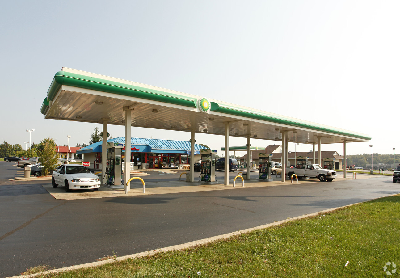
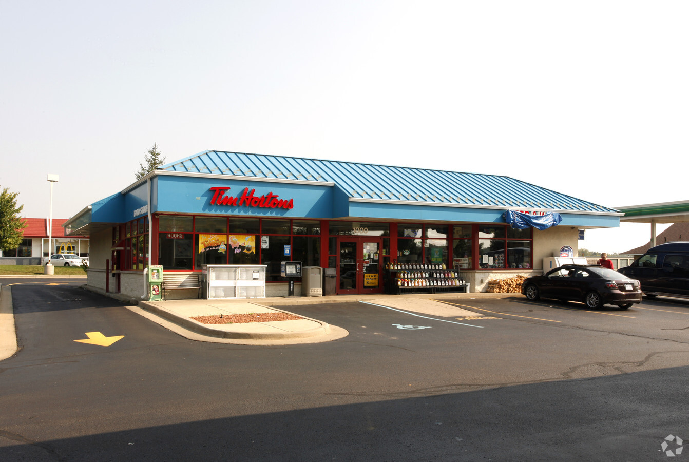
Property Record
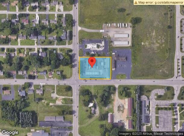
1000 W Parnall Rd, Jackson, MI 49201
NEARBY LISTINGS FOR SALE OR LEASE
Property Detail
1000 W Parnall Rd
000-08-15-451-003-05
STR: S240.00 FT W333.00 FT SW4SE4 S15T02SR01W
Supermarket
Jackson
X
Michigan
26075C0195D
1.84 AC
2023
Jackson County
2024
West Michigan
005700
Jackson, MI
3,480 SF
DEMOGRAPHICS near 1000 W Parnall Rd
1 Mile
3 Mile
5 Mile
2024 Total Population
2,276
27,064
64,551
2029 Population
2,243
26,972
64,273
Pop Growth 2024-2029
(1.45%)
(0.34%)
(0.43%)
Average Age
42
40
39
2024 Total Households
948
11,852
27,160
HH Growth 2024-2029
(1.48%)
(0.27%)
(0.41%)
Median Household Inc
$63,620
$46,286
$47,324
Avg Household Size
2.30
2.20
2.30
2024 Avg HH Vehicles
2.00
2.00
2.00
Median Home Value
$144,820
$103,259
$119,647
Median Year Built
1962
1959
1957
Nearby Places
- Restaurants
- Banks
- Shops
- Fitness
- Groceries
PUBLIC TRANSPORTATION
COMMUTER RAIL
Jackson (Wolverine - Amtrak)
DRIVE
WALK
Distance
Jackson (Wolverine - Amtrak)
7 min
3.7 mi
Freight Ports
Port of Toledo
DRIVE
WALK
Distance
Port of Toledo
108 min
82.6 mi
Nearby Properties
Address
Land Use
TOTAL SIZE
Lot Size
Zoning
Address
Land Use
TOTAL SIZE
Lot Size
Zoning
121,532 SF
29.94 AC
PC-1
Address
Land Use
TOTAL SIZE
Lot Size
Zoning
398,449 SF
41.51 AC
PR-1
Address
Land Use
TOTAL SIZE
Lot Size
Zoning
240,148 SF
30.64 AC
PC-1
Address
Land Use
TOTAL SIZE
Lot Size
Zoning
415,004 SF
19.97 AC
PB
Address
Land Use
TOTAL SIZE
Lot Size
Zoning
224,227 SF
22.59 AC
RM-1
Address
Land Use
TOTAL SIZE
Lot Size
Zoning
187,264 SF
7.10 AC
R-4
Address
Land Use
TOTAL SIZE
Lot Size
Zoning
64,257 SF
1.90 AC
R-4
Address
Land Use
TOTAL SIZE
Lot Size
Zoning
189,680 SF
6.90 AC
R-4
Address
Land Use
TOTAL SIZE
Lot Size
Zoning
251,350 SF
23.11 AC
I-1
Address
Land Use
TOTAL SIZE
Lot Size
Zoning
84,489 SF
55.50 AC
RM-1
Address
Land Use
TOTAL SIZE
Lot Size
Zoning
125,393 SF
3.94 AC
C-2
Address
Land Use
TOTAL SIZE
Lot Size
Zoning
91,108 SF
5.42 AC
C-2
Address
Land Use
TOTAL SIZE
Lot Size
Zoning
154,448 SF
12.97 AC
PR-1
Address
Land Use
TOTAL SIZE
Lot Size
Zoning
242,708 SF
29.44 AC
PC-1
Address
Land Use
TOTAL SIZE
Lot Size
Zoning
57,057 SF
10.10 AC
C-3
Address
Land Use
TOTAL SIZE
Lot Size
Zoning
67,146 SF
0.80 AC
C-3
Address
Land Use
TOTAL SIZE
Lot Size
Zoning
145,152 SF
41.45 AC
RM-1
Address
Land Use
TOTAL SIZE
Lot Size
Zoning
112,571 SF
9.35 AC
C-4
Address
Land Use
TOTAL SIZE
Lot Size
Zoning
159,432 SF
31.90 AC
RM-1
Address
Land Use
TOTAL SIZE
Lot Size
Zoning
84,401 SF
12.87 AC
PR-1
Address
Land Use
TOTAL SIZE
Lot Size
Zoning
137,313 SF
23.30 AC
C-3
Address
Land Use
TOTAL SIZE
Lot Size
Zoning
180,410 SF
12.60 AC
RM-1
Address
Land Use
TOTAL SIZE
Lot Size
Zoning
35,908 SF
6 AC
R-4
Address
Land Use
TOTAL SIZE
Lot Size
Zoning
110,894 SF
21.68 AC
PR-1
Address
Land Use
TOTAL SIZE
Lot Size
Zoning
79,923 SF
8.17 AC
C-2
Address
Land Use
TOTAL SIZE
Lot Size
Zoning
98,560 SF
13.35 AC
RM-1
Address
Land Use
TOTAL SIZE
Lot Size
Zoning
130,497 SF
13.51 AC
C-2
Address
Land Use
TOTAL SIZE
Lot Size
Zoning
270,966 SF
67.92 AC
I-1
Address
Land Use
TOTAL SIZE
Lot Size
Zoning
66,062 SF
3.38 AC
PC-1
Address
Land Use
TOTAL SIZE
Lot Size
Zoning
47,765 SF
2.30 AC
C-2
The World's #1 Commercial Real Estate Marketplace
Connect with us
© 2025 CoStar Group
The information above has been obtained from sources believed reliable. While we do not doubt its accuracy we have not verified it and make no guarantee, warranty or representation about it. It is your responsibility to independently confirm its accuracy and completeness. Any projections, opinions, assumptions, or estimates used are for example only and do not represent the current or future performance of the property. The value of this transaction to you depends on tax and other factors which should be evaluated by your tax, financial, and legal advisors. You and your advisors should conduct a careful, independent investigation of the property to determine to your satisfaction the suitability of the property for your needs.