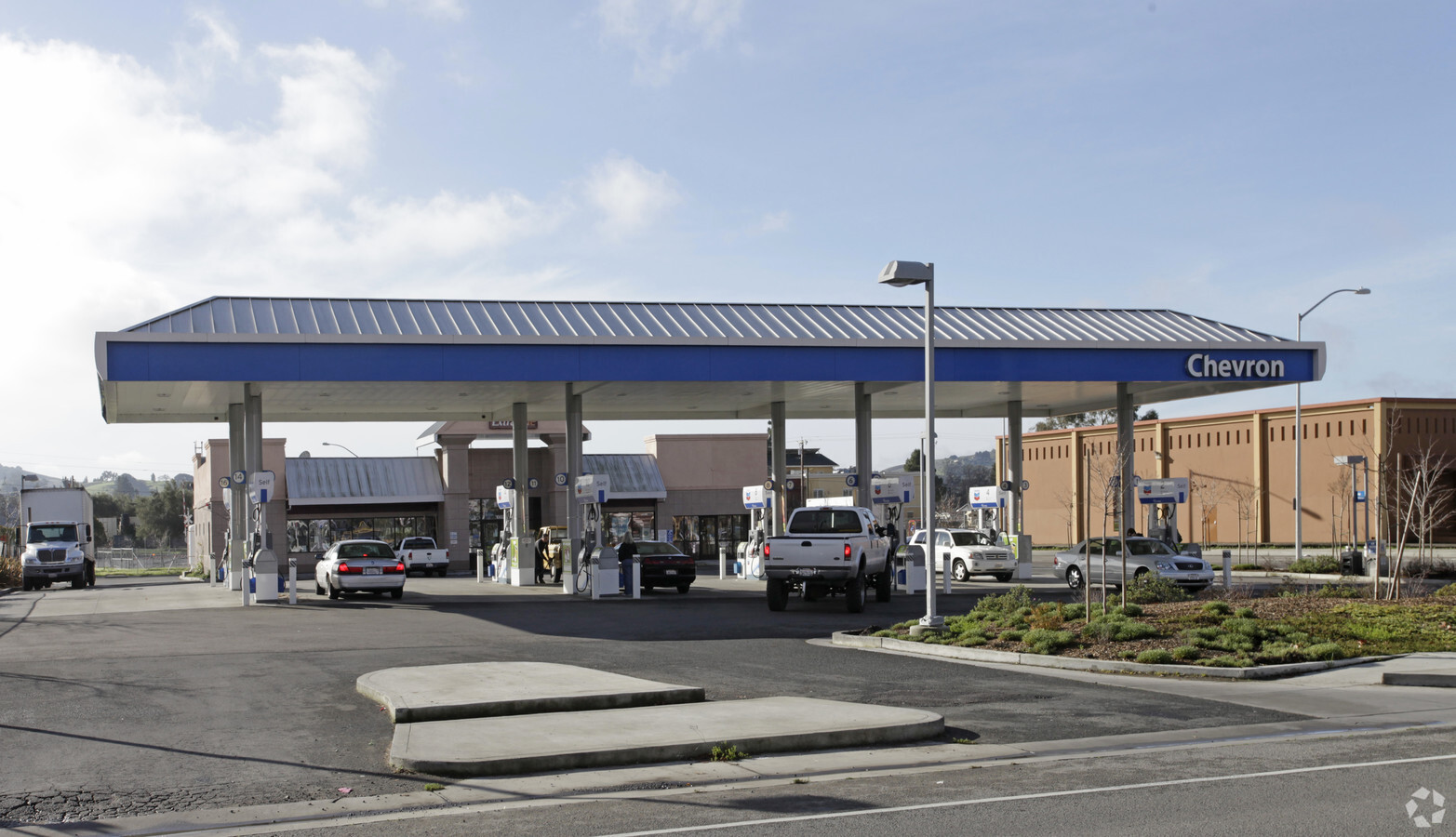
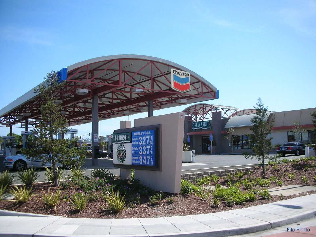
Property Record
1002 Lakeville St, Petaluma, CA 94952

NEARBY LISTINGS FOR SALE OR LEASE
Property Detail
1002 Lakeville St
005-060-088
2005 FM PTN 005-060-031 03LLA0201 04R182671
Servicestation
Sonoma
X
California
06041C0151E
0.87 AC
2023
Petaluma/Cotati/Rohnert
2023
North Bay/Santa Rosa
1507011013
Santa Rosa, CA
4,193 SF
DEMOGRAPHICS near 1002 Lakeville St
1 Mile
3 Mile
5 Mile
2024 Total Population
16,248
61,863
65,943
2029 Population
16,065
61,058
64,894
Pop Growth 2024-2029
(1.13%)
(1.30%)
(1.59%)
Average Age
42
43
44
2024 Total Households
6,305
24,050
25,694
HH Growth 2024-2029
(1.11%)
(1.29%)
(1.60%)
Median Household Inc
$101,336
$110,532
$110,397
Avg Household Size
2.50
2.50
2.50
2024 Avg HH Vehicles
2.00
2.00
2.00
Median Home Value
$768,407
$779,075
$789,837
Median Year Built
1971
1979
1979
Nearby Places
- Restaurants
- Banks
- Shops
- Fitness
- Groceries
PUBLIC TRANSPORTATION
COMMUTER RAIL
Petaluma Downtown Smart (Main Line - Sonoma Marin Area Rail Transit)
DRIVE
WALK
Distance
Petaluma Downtown Smart (Main Line - Sonoma Marin Area Rail Transit)
2 min
14 min
0.8 mi
AIRPORT
Charles M Schulz - Sonoma County
DRIVE
WALK
Distance
Charles M Schulz - Sonoma County
32 min
24.9 mi
Freight Ports
Port of Richmond
DRIVE
WALK
Distance
Port of Richmond
43 min
32.1 mi
Nearby Properties
Address
Land Use
TOTAL SIZE
Lot Size
Zoning
Address
Land Use
TOTAL SIZE
Lot Size
Zoning
458,444 SF
32.23 AC
CITYPE
Address
Land Use
TOTAL SIZE
Lot Size
Zoning
8.34 AC
ML
Address
Land Use
TOTAL SIZE
Lot Size
Zoning
231,609 SF
8.05 AC
Address
Land Use
TOTAL SIZE
Lot Size
Zoning
5.03 AC
CITYPE
Address
Land Use
TOTAL SIZE
Lot Size
Zoning
40,925 SF
11.06 AC
CITYPE
Address
Land Use
TOTAL SIZE
Lot Size
Zoning
134,732 SF
2.05 AC
Address
Land Use
TOTAL SIZE
Lot Size
Zoning
165,541 SF
12.61 AC
Address
Land Use
TOTAL SIZE
Lot Size
Zoning
121,876 SF
16.14 AC
Address
Land Use
TOTAL SIZE
Lot Size
Zoning
137,270 SF
10.04 AC
Address
Land Use
TOTAL SIZE
Lot Size
Zoning
94,107 SF
2.66 AC
Address
Land Use
TOTAL SIZE
Lot Size
Zoning
98,382 SF
6.83 AC
SP
Address
Land Use
TOTAL SIZE
Lot Size
Zoning
89,944 SF
14.63 AC
CITYPE
Address
Land Use
TOTAL SIZE
Lot Size
Zoning
149,242 SF
5.40 AC
CITYPE
Address
Land Use
TOTAL SIZE
Lot Size
Zoning
151,942 SF
5.85 AC
Address
Land Use
TOTAL SIZE
Lot Size
Zoning
80,392 SF
7.13 AC
Address
Land Use
TOTAL SIZE
Lot Size
Zoning
145,152 SF
8.39 AC
Address
Land Use
TOTAL SIZE
Lot Size
Zoning
195,837 SF
16.32 AC
PCD
Address
Land Use
TOTAL SIZE
Lot Size
Zoning
85,582 SF
2.61 AC
CITYPE
Address
Land Use
TOTAL SIZE
Lot Size
Zoning
138,520 SF
10.36 AC
ML
Address
Land Use
TOTAL SIZE
Lot Size
Zoning
120,480 SF
6.87 AC
CITYPE
Address
Land Use
TOTAL SIZE
Lot Size
Zoning
81,975 SF
5 AC
Address
Land Use
TOTAL SIZE
Lot Size
Zoning
70,110 SF
1.11 AC
CITYPE
Address
Land Use
TOTAL SIZE
Lot Size
Zoning
71,600 SF
9.78 AC
CITYPE
Address
Land Use
TOTAL SIZE
Lot Size
Zoning
94,000 SF
4.87 AC
Address
Land Use
TOTAL SIZE
Lot Size
Zoning
Address
Land Use
TOTAL SIZE
Lot Size
Zoning
93,700 SF
6.02 AC
ML
Address
Land Use
TOTAL SIZE
Lot Size
Zoning
41,302 SF
1.43 AC
CITYPE
Address
Land Use
TOTAL SIZE
Lot Size
Zoning
135,105 SF
7.54 AC
Address
Land Use
TOTAL SIZE
Lot Size
Zoning
64,568 SF
0.87 AC
Address
Land Use
TOTAL SIZE
Lot Size
Zoning
80,000 SF
3.73 AC
The World's #1 Commercial Real Estate Marketplace
Connect with us
© 2025 CoStar Group
The information above has been obtained from sources believed reliable. While we do not doubt its accuracy we have not verified it and make no guarantee, warranty or representation about it. It is your responsibility to independently confirm its accuracy and completeness. Any projections, opinions, assumptions, or estimates used are for example only and do not represent the current or future performance of the property. The value of this transaction to you depends on tax and other factors which should be evaluated by your tax, financial, and legal advisors. You and your advisors should conduct a careful, independent investigation of the property to determine to your satisfaction the suitability of the property for your needs.