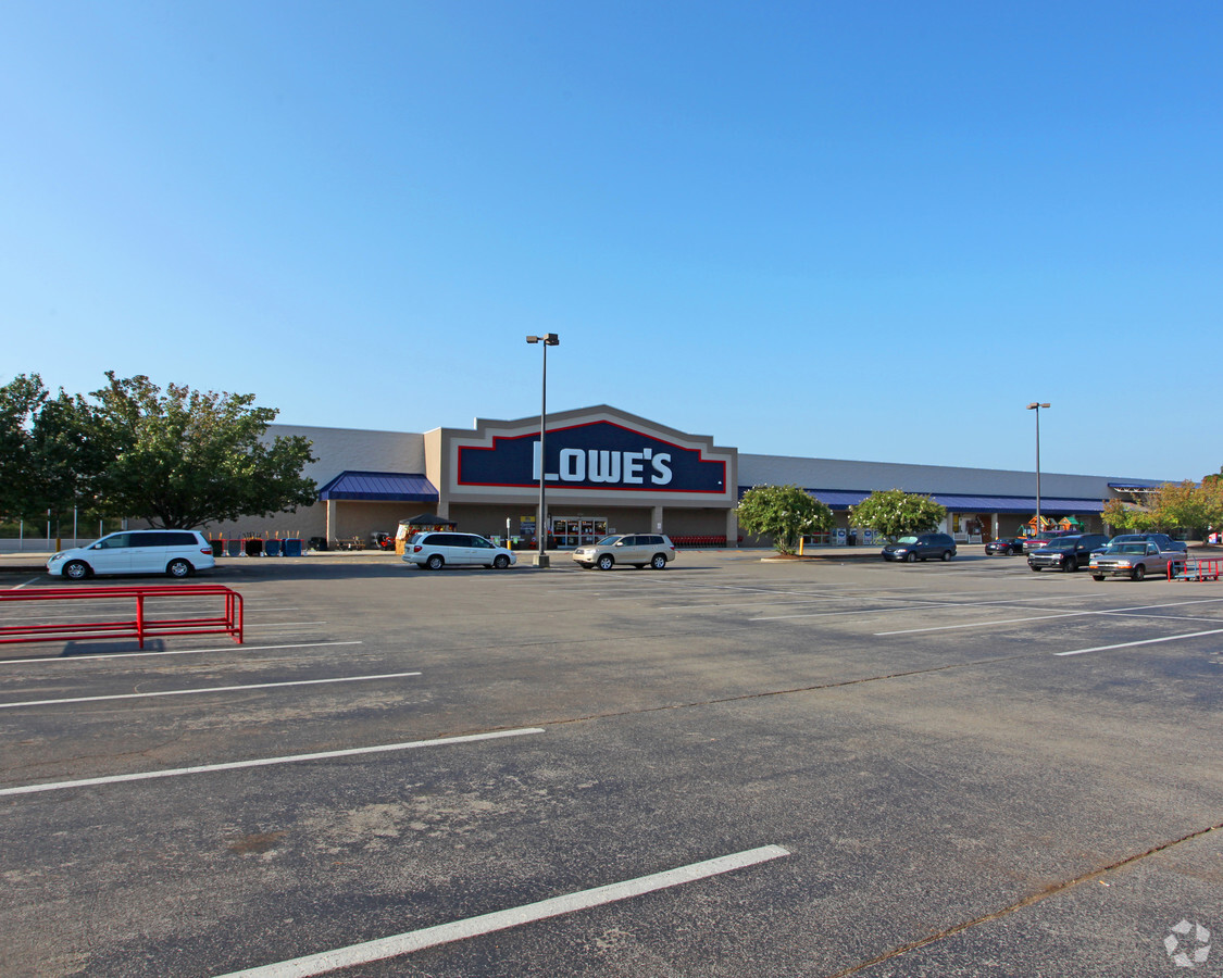
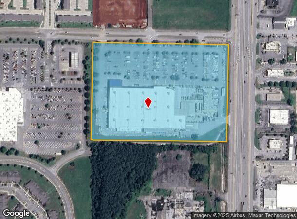
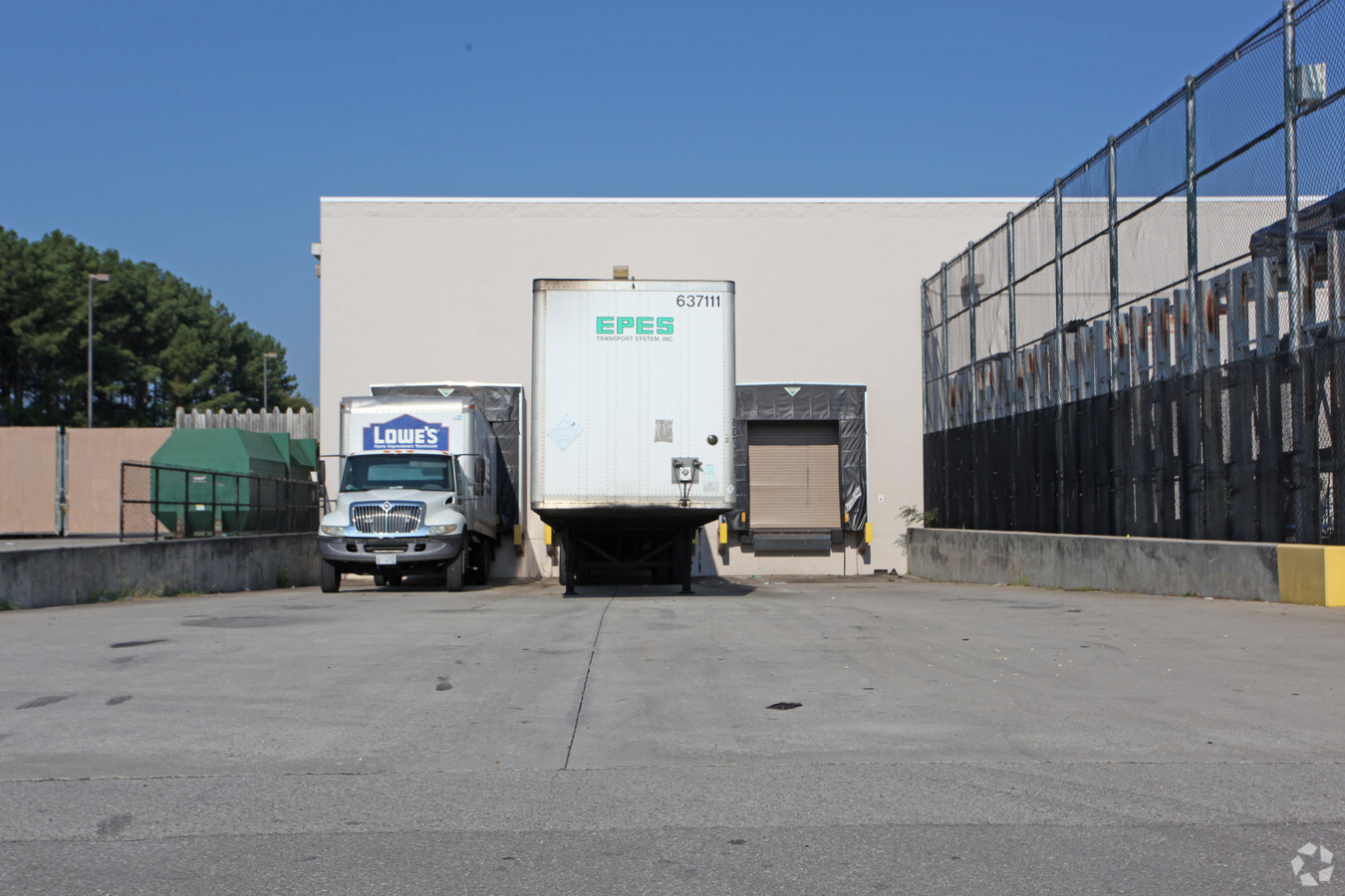
Property Record
10050 Memorial Pky Sw, Huntsville, AL 35803
NEARBY LISTINGS FOR SALE OR LEASE
Property Detail
10050 Memorial Pky Sw
Huntsville, AL
National S/D
18-09-31-0-002-083.000
LOT 1 NATIONAL S/D
Storebuilding
Madison
X
Alabama
01089C0339G
1
2024
13.25 AC
2024
South Madison County
002801
Huntsville
128,296 SF
DEMOGRAPHICS near 10050 Memorial Pky Sw
1 Mile
3 Mile
5 Mile
2024 Total Population
5,848
43,444
78,518
2029 Population
6,420
47,786
86,549
Pop Growth 2024-2029
+ 9.78%
+ 9.99%
+ 10.23%
Average Age
42
43
42
2024 Total Households
2,526
19,209
33,630
HH Growth 2024-2029
+ 10.21%
+ 10.35%
+ 10.59%
Median Household Inc
$70,931
$85,814
$81,486
Avg Household Size
2.20
2.20
2.20
2024 Avg HH Vehicles
2.00
2.00
2.00
Median Home Value
$199,537
$253,782
$275,607
Median Year Built
1976
1981
1982
Nearby Places
- Restaurants
- Banks
- Shops
- Fitness
- Groceries
PUBLIC TRANSPORTATION
AIRPORT
Huntsville International-Carl T Jones Field
DRIVE
WALK
Distance
Huntsville International-Carl T Jones Field
31 min
20.0 mi
Freight Ports
Port of Mobile
DRIVE
WALK
Distance
Port of Mobile
399 min
361.2 mi
Nearby Properties
Address
Land Use
TOTAL SIZE
Lot Size
Zoning
Address
Land Use
TOTAL SIZE
Lot Size
Zoning
5,136 SF
22 AC
Address
Land Use
TOTAL SIZE
Lot Size
Zoning
63,237 SF
10.99 AC
Address
Land Use
TOTAL SIZE
Lot Size
Zoning
4,379 SF
18 AC
Address
Land Use
TOTAL SIZE
Lot Size
Zoning
6,336 SF
25.32 AC
Address
Land Use
TOTAL SIZE
Lot Size
Zoning
Address
Land Use
TOTAL SIZE
Lot Size
Zoning
86,928 SF
10.42 AC
Address
Land Use
TOTAL SIZE
Lot Size
Zoning
29,481 SF
29 AC
Address
Land Use
TOTAL SIZE
Lot Size
Zoning
9.90 AC
Address
Land Use
TOTAL SIZE
Lot Size
Zoning
1,540 SF
20.65 AC
Address
Land Use
TOTAL SIZE
Lot Size
Zoning
20,932 SF
18.18 AC
Address
Land Use
TOTAL SIZE
Lot Size
Zoning
62,541 SF
24.34 AC
Address
Land Use
TOTAL SIZE
Lot Size
Zoning
5,785 SF
12.86 AC
Address
Land Use
TOTAL SIZE
Lot Size
Zoning
9,908 SF
14 AC
Address
Land Use
TOTAL SIZE
Lot Size
Zoning
1,325 SF
14.84 AC
Address
Land Use
TOTAL SIZE
Lot Size
Zoning
7,566 SF
6 AC
Address
Land Use
TOTAL SIZE
Lot Size
Zoning
1,351 SF
9.50 AC
Address
Land Use
TOTAL SIZE
Lot Size
Zoning
13.46 AC
Address
Land Use
TOTAL SIZE
Lot Size
Zoning
175,364 SF
13.18 AC
Address
Land Use
TOTAL SIZE
Lot Size
Zoning
20,940 SF
1.60 AC
Address
Land Use
TOTAL SIZE
Lot Size
Zoning
3,130 SF
11.18 AC
Address
Land Use
TOTAL SIZE
Lot Size
Zoning
79,604 SF
2.62 AC
Address
Land Use
TOTAL SIZE
Lot Size
Zoning
7,208 SF
9.24 AC
Address
Land Use
TOTAL SIZE
Lot Size
Zoning
14,157 SF
6.94 AC
Address
Land Use
TOTAL SIZE
Lot Size
Zoning
130,448 SF
16.93 AC
Address
Land Use
TOTAL SIZE
Lot Size
Zoning
198,119 SF
21.01 AC
Address
Land Use
TOTAL SIZE
Lot Size
Zoning
63,648 SF
6.20 AC
Address
Land Use
TOTAL SIZE
Lot Size
Zoning
8,924 SF
11 AC
Address
Land Use
TOTAL SIZE
Lot Size
Zoning
107,436 SF
15 AC
Address
Land Use
TOTAL SIZE
Lot Size
Zoning
50,716 SF
7.10 AC
Address
Land Use
TOTAL SIZE
Lot Size
Zoning
43,168 SF
23 AC
The World's #1 Commercial Real Estate Marketplace
Connect with us
© 2025 CoStar Group
The information above has been obtained from sources believed reliable. While we do not doubt its accuracy we have not verified it and make no guarantee, warranty or representation about it. It is your responsibility to independently confirm its accuracy and completeness. Any projections, opinions, assumptions, or estimates used are for example only and do not represent the current or future performance of the property. The value of this transaction to you depends on tax and other factors which should be evaluated by your tax, financial, and legal advisors. You and your advisors should conduct a careful, independent investigation of the property to determine to your satisfaction the suitability of the property for your needs.