Property Record
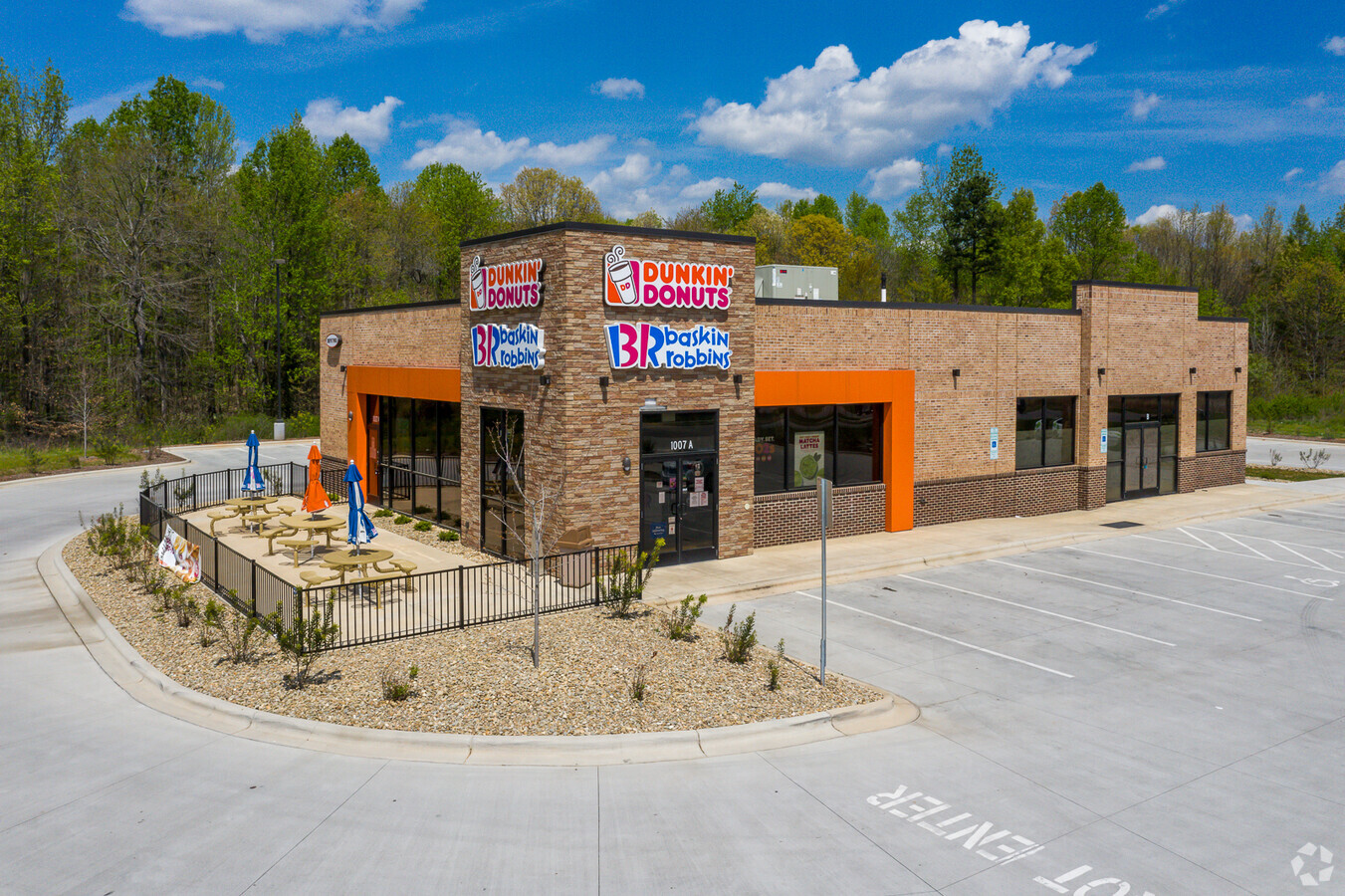
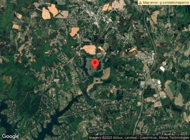
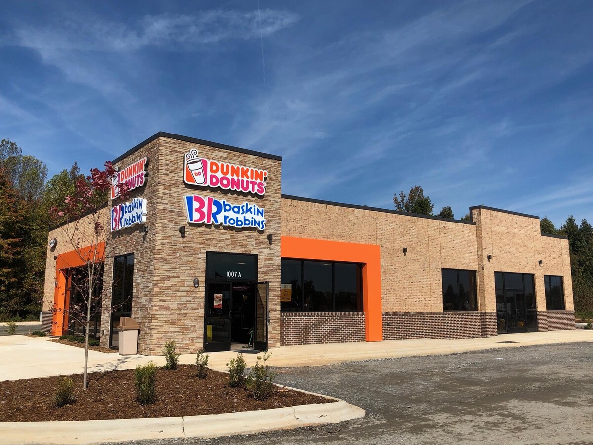
1007 Charlotte Hwy, Troutman, NC 28166
NEARBY LISTINGS FOR SALE OR LEASE
-
-
View all Troutman listings for lease on LoopNet.com
Property Detail
1007 Charlotte Hwy
Charlotte-Concord-Gastonia, NC-SC
Recombination Survey Of Lowes Home Cente
4740-94-3715.000
LOWES HOME CENTERS LLC REV PB68/91-93
Commercialnec
Iredell
2024
North Carolina
2024
1.23 AC
061202
Iredell County
5,946 SF
Charlotte
DEMOGRAPHICS near 1007 Charlotte Hwy
1 Mile
3 Mile
5 Mile
2024 Total Population
770
13,310
34,700
2029 Population
888
15,252
39,655
Pop Growth 2024-2029
+ 15.32%
+ 14.59%
+ 14.28%
Average Age
40
41
41
2024 Total Households
297
5,118
13,311
HH Growth 2024-2029
+ 15.15%
+ 14.62%
+ 14.31%
Median Household Inc
$70,792
$72,334
$78,292
Avg Household Size
2.60
2.60
2.60
2024 Avg HH Vehicles
2.00
2.00
2.00
Median Home Value
$206,250
$230,976
$273,280
Median Year Built
1999
1998
2000
Nearby Places
- Restaurants
- Banks
- Shops
- Fitness
- Groceries
PUBLIC TRANSPORTATION
AIRPORT
Concord-Padgett Regional
DRIVE
WALK
Distance
Concord-Padgett Regional
47 min
33.0 mi
Freight Ports
Port of Wilmington
DRIVE
WALK
Distance
Port of Wilmington
291 min
232.0 mi
SALE & LEASE HISTORY
LISTING DATE
SALE/LEASE

Sep 10, 2018
For Lease
Nearby Properties
Address
Land Use
TOTAL SIZE
Lot Size
Zoning
Address
Land Use
TOTAL SIZE
Lot Size
Zoning
977,725 SF
158.32 AC
HI
Address
Land Use
TOTAL SIZE
Lot Size
Zoning
11,856 SF
20.01 AC
GB
Address
Land Use
TOTAL SIZE
Lot Size
Zoning
311,280 SF
22.25 AC
HB
Address
Land Use
TOTAL SIZE
Lot Size
Zoning
1,327.15 AC
RR,M1
Address
Land Use
TOTAL SIZE
Lot Size
Zoning
298,244 SF
27.29 AC
HI
Address
Land Use
TOTAL SIZE
Lot Size
Zoning
87,278 SF
9.45 AC
GB
Address
Land Use
TOTAL SIZE
Lot Size
Zoning
185,816 SF
17.07 AC
HB
Address
Land Use
TOTAL SIZE
Lot Size
Zoning
157,080 SF
36.55 AC
HI
Address
Land Use
TOTAL SIZE
Lot Size
Zoning
33,400 SF
25.48 AC
RA
Address
Land Use
TOTAL SIZE
Lot Size
Zoning
47,142 SF
13.59 AC
HI
Address
Land Use
TOTAL SIZE
Lot Size
Zoning
157,371 SF
49.56 AC
HI
Address
Land Use
TOTAL SIZE
Lot Size
Zoning
411,326 SF
19.18 AC
HI
Address
Land Use
TOTAL SIZE
Lot Size
Zoning
54,944 SF
4.64 AC
GB-CD
Address
Land Use
TOTAL SIZE
Lot Size
Zoning
30,072 SF
9.08 AC
CB
Address
Land Use
TOTAL SIZE
Lot Size
Zoning
93,798 SF
6.82 AC
HI
Address
Land Use
TOTAL SIZE
Lot Size
Zoning
24,000 SF
7.51 AC
RR
Address
Land Use
TOTAL SIZE
Lot Size
Zoning
249.02 AC
RA
Address
Land Use
TOTAL SIZE
Lot Size
Zoning
70,674 SF
8.73 AC
HB
Address
Land Use
TOTAL SIZE
Lot Size
Zoning
20,502 SF
0.89 AC
CB
Address
Land Use
TOTAL SIZE
Lot Size
Zoning
36,534 SF
5.18 AC
RT
Address
Land Use
TOTAL SIZE
Lot Size
Zoning
50,288 SF
10 AC
HI
Address
Land Use
TOTAL SIZE
Lot Size
Zoning
64.61 AC
HI
Address
Land Use
TOTAL SIZE
Lot Size
Zoning
28,650 SF
37.92 AC
GB
Address
Land Use
TOTAL SIZE
Lot Size
Zoning
83,075 SF
7.29 AC
HI
Address
Land Use
TOTAL SIZE
Lot Size
Zoning
12,193 SF
21.70 AC
RA
Address
Land Use
TOTAL SIZE
Lot Size
Zoning
54,147 SF
6.97 AC
HI
Address
Land Use
TOTAL SIZE
Lot Size
Zoning
4,992 SF
8.20 AC
GB
Address
Land Use
TOTAL SIZE
Lot Size
Zoning
65.31 AC
GB
Address
Land Use
TOTAL SIZE
Lot Size
Zoning
15,736 SF
1.78 AC
HB
Address
Land Use
TOTAL SIZE
Lot Size
Zoning
24.91 AC
HI
The World's #1 Commercial Real Estate Marketplace
Connect with us
© 2025 CoStar Group
The information above has been obtained from sources believed reliable. While we do not doubt its accuracy we have not verified it and make no guarantee, warranty or representation about it. It is your responsibility to independently confirm its accuracy and completeness. Any projections, opinions, assumptions, or estimates used are for example only and do not represent the current or future performance of the property. The value of this transaction to you depends on tax and other factors which should be evaluated by your tax, financial, and legal advisors. You and your advisors should conduct a careful, independent investigation of the property to determine to your satisfaction the suitability of the property for your needs.