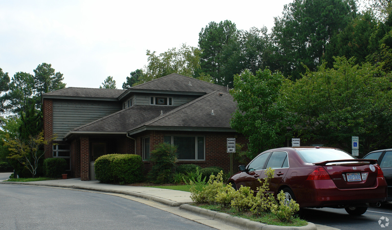
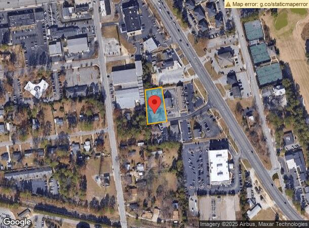
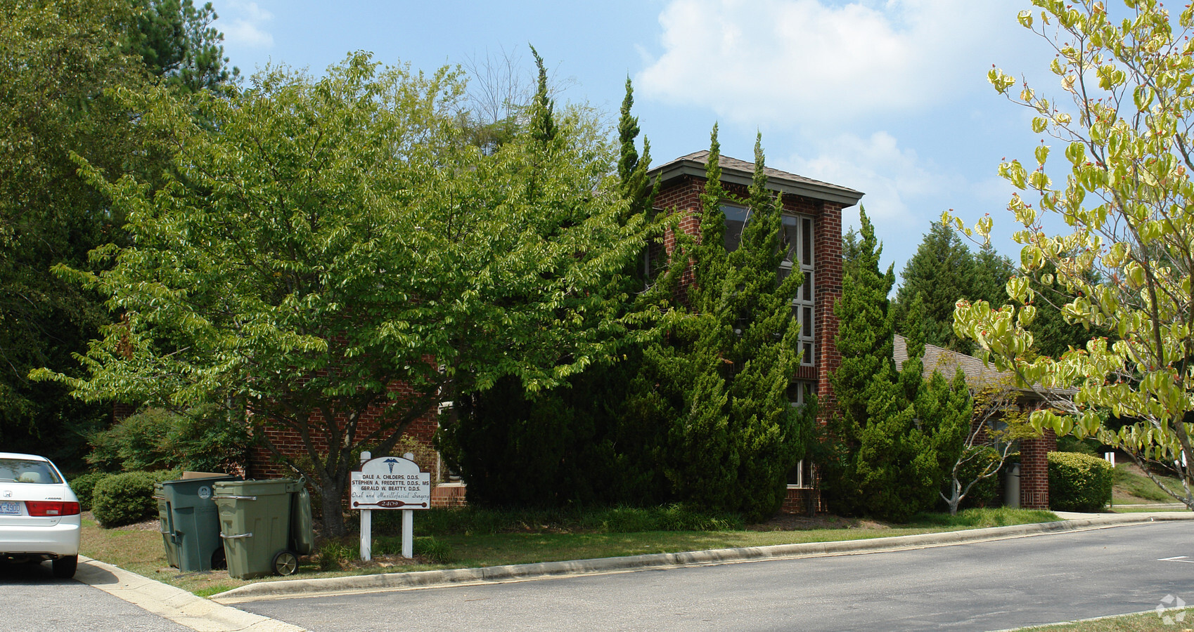
Property Record
2409 Robeson St, Fayetteville, NC 28305
NEARBY LISTINGS FOR SALE OR LEASE
Property Detail
2409 Robeson St
Fayetteville, NC
Raeford Rd/Robeson To Exp Way
0427-40-2914
LANCASTER PROPERTY LO:2 SE:01 PL:0072-0032
Medicalclinic
Cumberland
X
North Carolina
3720042700J
2
2023
0.59 AC
2024
Southwest Fayetteville
000702
Fayetteville
3,183 SF
DEMOGRAPHICS near 2409 Robeson St
1 Mile
3 Mile
5 Mile
2024 Total Population
6,233
56,085
138,867
2029 Population
6,200
56,340
139,275
Pop Growth 2024-2029
(0.53%)
+ 0.45%
+ 0.29%
Average Age
42
39
37
2024 Total Households
2,860
24,113
58,817
HH Growth 2024-2029
(0.56%)
+ 0.44%
+ 0.31%
Median Household Inc
$63,205
$46,669
$46,396
Avg Household Size
2.10
2.20
2.30
2024 Avg HH Vehicles
2.00
2.00
2.00
Median Home Value
$214,216
$158,922
$145,340
Median Year Built
1973
1972
1979
Nearby Places
- Restaurants
- Banks
- Shops
- Fitness
- Groceries
PUBLIC TRANSPORTATION
COMMUTER RAIL
Fayetteville Amtrak Station (Palmetto - Amtrak, Silver Meteor - Amtrak)
DRIVE
WALK
Distance
Fayetteville Amtrak Station (Palmetto - Amtrak, Silver Meteor - Amtrak)
4 min
2.6 mi
AIRPORT
Fayetteville Regional/Grannis Field
DRIVE
WALK
Distance
Fayetteville Regional/Grannis Field
10 min
5.5 mi
Freight Ports
Port of Wilmington
DRIVE
WALK
Distance
Port of Wilmington
128 min
92.2 mi
Nearby Properties
Address
Land Use
TOTAL SIZE
Lot Size
Zoning
Address
Land Use
TOTAL SIZE
Lot Size
Zoning
182,282 SF
38.72 AC
OI
Address
Land Use
TOTAL SIZE
Lot Size
Zoning
2,193 SF
133.52 AC
MR5
Address
Land Use
TOTAL SIZE
Lot Size
Zoning
46,110 SF
25.72 AC
OI
Address
Land Use
TOTAL SIZE
Lot Size
Zoning
47,832 SF
43.28 AC
CC
Address
Land Use
TOTAL SIZE
Lot Size
Zoning
91,620 SF
9.67 AC
CC
Address
Land Use
TOTAL SIZE
Lot Size
Zoning
1,377 SF
20.14 AC
MR5-MIXED
Address
Land Use
TOTAL SIZE
Lot Size
Zoning
2,842 SF
23.27 AC
MR5
Address
Land Use
TOTAL SIZE
Lot Size
Zoning
37,786 SF
9.55 AC
CC
Address
Land Use
TOTAL SIZE
Lot Size
Zoning
11,894 SF
8.39 AC
DTCZ
Address
Land Use
TOTAL SIZE
Lot Size
Zoning
3,999 SF
44.59 AC
MR5
Address
Land Use
TOTAL SIZE
Lot Size
Zoning
54,316 SF
28.64 AC
CC
Address
Land Use
TOTAL SIZE
Lot Size
Zoning
4,522 SF
12.59 AC
MR5
Address
Land Use
TOTAL SIZE
Lot Size
Zoning
28,107 SF
34.33 AC
HI
Address
Land Use
TOTAL SIZE
Lot Size
Zoning
181,147 SF
24.02 AC
CCCZ
Address
Land Use
TOTAL SIZE
Lot Size
Zoning
135,996 SF
14.28 AC
CCCZ
Address
Land Use
TOTAL SIZE
Lot Size
Zoning
2,529 SF
5.95 AC
MR5
Address
Land Use
TOTAL SIZE
Lot Size
Zoning
1,682 SF
30.53 AC
CC-COMMUNI
Address
Land Use
TOTAL SIZE
Lot Size
Zoning
6,670 SF
7.11 AC
CC
Address
Land Use
TOTAL SIZE
Lot Size
Zoning
1 AC
DTCZ
Address
Land Use
TOTAL SIZE
Lot Size
Zoning
3,840 SF
17.54 AC
UK-UNKNOWN
Address
Land Use
TOTAL SIZE
Lot Size
Zoning
10,158 SF
11.49 AC
SF6
Address
Land Use
TOTAL SIZE
Lot Size
Zoning
780 SF
19.30 AC
SF10
Address
Land Use
TOTAL SIZE
Lot Size
Zoning
27,825 SF
1.67 AC
DT
Address
Land Use
TOTAL SIZE
Lot Size
Zoning
4,602 SF
29.92 AC
MR5
Address
Land Use
TOTAL SIZE
Lot Size
Zoning
1 AC
DTCZ-DOWNT
Address
Land Use
TOTAL SIZE
Lot Size
Zoning
26,717 SF
89.19 AC
SF10
Address
Land Use
TOTAL SIZE
Lot Size
Zoning
191,495 SF
21.41 AC
CC
Address
Land Use
TOTAL SIZE
Lot Size
Zoning
4,690 SF
11.13 AC
MR5
Address
Land Use
TOTAL SIZE
Lot Size
Zoning
118,561 SF
13.69 AC
CC
Address
Land Use
TOTAL SIZE
Lot Size
Zoning
26,818 SF
OI-OFFICE
The World's #1 Commercial Real Estate Marketplace
Connect with us
© 2025 CoStar Group
The information above has been obtained from sources believed reliable. While we do not doubt its accuracy we have not verified it and make no guarantee, warranty or representation about it. It is your responsibility to independently confirm its accuracy and completeness. Any projections, opinions, assumptions, or estimates used are for example only and do not represent the current or future performance of the property. The value of this transaction to you depends on tax and other factors which should be evaluated by your tax, financial, and legal advisors. You and your advisors should conduct a careful, independent investigation of the property to determine to your satisfaction the suitability of the property for your needs.