Property Record
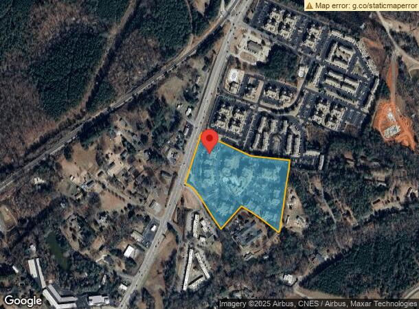
101 Sumter Ct, Central, SC 29630

NEARBY LISTINGS FOR SALE OR LEASE
Property Detail
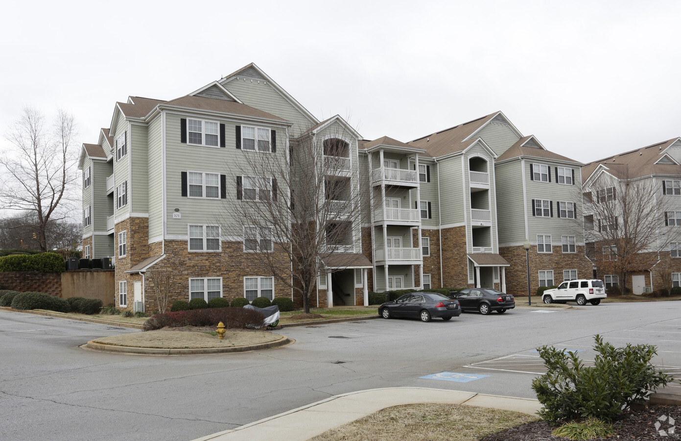
101 Sumter Ct
4065-17-10-7613
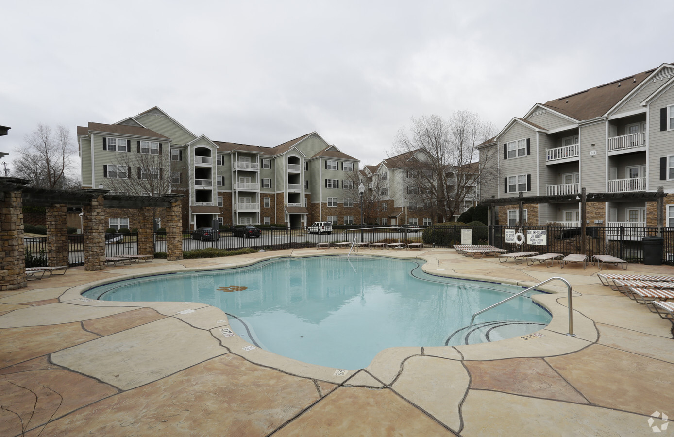
Reserve At Clemson
Apartment
CORNER OF HIGHWAY 93 AND VICKERY DR, PLAT 441/18 PLAT 362/12, PLAT 595/227
X
Pickens
45007C0085E
South Carolina
2024
12.61 AC
2024
Southwest Pickens County
011104
Greenville/Spartanburg
249,600 SF
Greenville-Anderson-Mauldin, SC
DEMOGRAPHICS near 101 Sumter Ct
1 Mile
3 Mile
5 Mile
2024 Total Population
5,849
22,602
39,880
2029 Population
6,034
23,300
41,346
Pop Growth 2024-2029
+ 3.16%
+ 3.09%
+ 3.68%
Average Age
31
34
34
2024 Total Households
2,628
9,285
15,017
HH Growth 2024-2029
+ 3.42%
+ 3.22%
+ 4.10%
Median Household Inc
$29,704
$39,757
$41,952
Avg Household Size
2.20
2.30
2.30
2024 Avg HH Vehicles
2.00
2.00
2.00
Median Home Value
$182,658
$265,582
$238,747
Median Year Built
1993
1991
1990
Nearby Places
- Restaurants
- Banks
- Shops
- Fitness
- Groceries
PUBLIC TRANSPORTATION
COMMUTER RAIL
Clemson Amtrak Station (Crescent - Amtrak)
DRIVE
WALK
Distance
Clemson Amtrak Station (Crescent - Amtrak)
7 min
3.2 mi
Freight Ports
Georgia Ports - Savannah
DRIVE
WALK
Distance
Georgia Ports - Savannah
322 min
229.2 mi
Nearby Properties
Address
Land Use
TOTAL SIZE
Lot Size
Zoning
Address
Land Use
TOTAL SIZE
Lot Size
Zoning
5,208 SF
11.33 AC
RM16
Address
Land Use
TOTAL SIZE
Lot Size
Zoning
259,277 SF
3.39 AC
PD17
Address
Land Use
TOTAL SIZE
Lot Size
Zoning
54,341 SF
11.54 AC
CP2
Address
Land Use
TOTAL SIZE
Lot Size
Zoning
24,882 SF
12.94 AC
PD
Address
Land Use
TOTAL SIZE
Lot Size
Zoning
54,420 SF
9.52 AC
PD16
Address
Land Use
TOTAL SIZE
Lot Size
Zoning
15,783 SF
1.43 AC
RM 4 MULTI
Address
Land Use
TOTAL SIZE
Lot Size
Zoning
61,130 SF
19.26 AC
PD
Address
Land Use
TOTAL SIZE
Lot Size
Zoning
9,112 SF
10.93 AC
RM 3 MULTI
Address
Land Use
TOTAL SIZE
Lot Size
Zoning
185,383 SF
2.52 AC
GENERAL CO
Address
Land Use
TOTAL SIZE
Lot Size
Zoning
4.97 AC
PD
Address
Land Use
TOTAL SIZE
Lot Size
Zoning
3,160 SF
2.30 AC
RM16 RESID
Address
Land Use
TOTAL SIZE
Lot Size
Zoning
7,070 SF
2.59 AC
GENERAL CO
Address
Land Use
TOTAL SIZE
Lot Size
Zoning
17 AC
RIL RESEAR
Address
Land Use
TOTAL SIZE
Lot Size
Zoning
11,881 SF
2.02 AC
GENERAL CO
Address
Land Use
TOTAL SIZE
Lot Size
Zoning
7,692 SF
0.40 AC
RIL
Address
Land Use
TOTAL SIZE
Lot Size
Zoning
171,744 SF
15.84 AC
RM16
Address
Land Use
TOTAL SIZE
Lot Size
Zoning
10.09 AC
GC
Address
Land Use
TOTAL SIZE
Lot Size
Zoning
20,927 SF
2.66 AC
GC
Address
Land Use
TOTAL SIZE
Lot Size
Zoning
36.40 AC
RM 1 TWO F
Address
Land Use
TOTAL SIZE
Lot Size
Zoning
22,722 SF
12.68 AC
PD
Address
Land Use
TOTAL SIZE
Lot Size
Zoning
2,111 SF
10.67 AC
RM16 RESID
Address
Land Use
TOTAL SIZE
Lot Size
Zoning
64,306 SF
0.96 AC
RIL
Address
Land Use
TOTAL SIZE
Lot Size
Zoning
42,049 SF
6.26 AC
PD
Address
Land Use
TOTAL SIZE
Lot Size
Zoning
54,244 SF
1.17 AC
RIL
Address
Land Use
TOTAL SIZE
Lot Size
Zoning
0.33 AC
Address
Land Use
TOTAL SIZE
Lot Size
Zoning
73,496 SF
9.49 AC
CP 2 COMMU
Address
Land Use
TOTAL SIZE
Lot Size
Zoning
196,017 SF
25.24 AC
GC
Address
Land Use
TOTAL SIZE
Lot Size
Zoning
6,377 SF
2.01 AC
GC
Address
Land Use
TOTAL SIZE
Lot Size
Zoning
69,132 SF
2.21 AC
CP2
The World's #1 Commercial Real Estate Marketplace
Connect with us
© 2025 CoStar Group
The information above has been obtained from sources believed reliable. While we do not doubt its accuracy we have not verified it and make no guarantee, warranty or representation about it. It is your responsibility to independently confirm its accuracy and completeness. Any projections, opinions, assumptions, or estimates used are for example only and do not represent the current or future performance of the property. The value of this transaction to you depends on tax and other factors which should be evaluated by your tax, financial, and legal advisors. You and your advisors should conduct a careful, independent investigation of the property to determine to your satisfaction the suitability of the property for your needs.