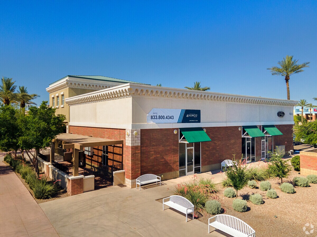
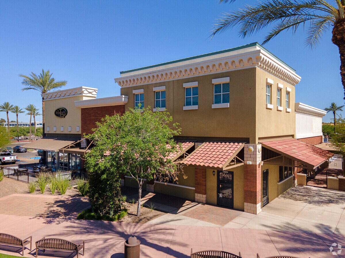
Property Record
1017 N Dobson Rd, Mesa, AZ 85201

NEARBY LISTINGS FOR SALE OR LEASE
Property Detail
1017 N Dobson Rd
Phoenix-Mesa-Scottsdale, AZ
Mesa Riverview
135-33-545
MESA RIVERVIEW MCR 936-41
Regionalshoppingcenterormallwithanchorstore
Maricopa
X
Arizona
04013C2265M
10
2024
21.96 AC
2025
Red Mountain/Mesa
421201
Phoenix
152,199 SF
DEMOGRAPHICS near 1017 N Dobson Rd
1 Mile
3 Mile
5 Mile
2024 Total Population
8,756
126,852
350,278
2029 Population
9,428
137,490
379,162
Pop Growth 2024-2029
+ 7.67%
+ 8.39%
+ 8.25%
Average Age
36
35
35
2024 Total Households
3,263
52,446
138,879
HH Growth 2024-2029
+ 7.75%
+ 8.54%
+ 8.58%
Median Household Inc
$67,702
$48,930
$60,145
Avg Household Size
2.60
2.30
2.40
2024 Avg HH Vehicles
2.00
2.00
2.00
Median Home Value
$323,043
$265,538
$347,672
Median Year Built
1975
1981
1979
Nearby Places
- Restaurants
- Banks
- Shops
- Fitness
- Groceries
PUBLIC TRANSPORTATION
AIRPORT
Phoenix Sky Harbor International
DRIVE
WALK
Distance
Phoenix Sky Harbor International
14 min
8.8 mi
Phoenix-Mesa Gateway
DRIVE
WALK
Distance
Phoenix-Mesa Gateway
33 min
20.6 mi
Freight Ports
Port of San Diego
DRIVE
WALK
Distance
Port of San Diego
410 min
368.2 mi
Nearby Properties
Address
Land Use
TOTAL SIZE
Lot Size
Zoning
Address
Land Use
TOTAL SIZE
Lot Size
Zoning
1,870,689 SF
125.63 AC
I-P
Address
Land Use
TOTAL SIZE
Lot Size
Zoning
8.79 AC
PF
Address
Land Use
TOTAL SIZE
Lot Size
Zoning
197,454 SF
18.97 AC
PF
Address
Land Use
TOTAL SIZE
Lot Size
Zoning
401,437 SF
17.70 AC
C-R
Address
Land Use
TOTAL SIZE
Lot Size
Zoning
377,442 SF
0.21 AC
C-DT
Address
Land Use
TOTAL SIZE
Lot Size
Zoning
564,649 SF
7.19 AC
RCC
Address
Land Use
TOTAL SIZE
Lot Size
Zoning
267,023 SF
19.58 AC
PEP
Address
Land Use
TOTAL SIZE
Lot Size
Zoning
459,103 SF
13.27 AC
MU4
Address
Land Use
TOTAL SIZE
Lot Size
Zoning
782,618 SF
6.70 AC
PAD
Address
Land Use
TOTAL SIZE
Lot Size
Zoning
485,625 SF
45.99 AC
PF
Address
Land Use
TOTAL SIZE
Lot Size
Zoning
435,896 SF
3.40 AC
PCC2
Address
Land Use
TOTAL SIZE
Lot Size
Zoning
501,927 SF
8.13 AC
GC
Address
Land Use
TOTAL SIZE
Lot Size
Zoning
407,570 SF
6.22 AC
PEP
Address
Land Use
TOTAL SIZE
Lot Size
Zoning
454,015 SF
10.03 AC
DB1
Address
Land Use
TOTAL SIZE
Lot Size
Zoning
322,662 SF
9.29 AC
R-6
Address
Land Use
TOTAL SIZE
Lot Size
Zoning
526,950 SF
6.35 AC
PAD
Address
Land Use
TOTAL SIZE
Lot Size
Zoning
302,962 SF
6.58 AC
HID
Address
Land Use
TOTAL SIZE
Lot Size
Zoning
160,533 SF
7.59 AC
GC
Address
Land Use
TOTAL SIZE
Lot Size
Zoning
239,532 SF
9.94 AC
PCC-1
Address
Land Use
TOTAL SIZE
Lot Size
Zoning
387,531 SF
18.47 AC
M-H
Address
Land Use
TOTAL SIZE
Lot Size
Zoning
478,411 SF
4.07 AC
CDT
Address
Land Use
TOTAL SIZE
Lot Size
Zoning
247,808 SF
5.85 AC
MU4
Address
Land Use
TOTAL SIZE
Lot Size
Zoning
210,613 SF
15.50 AC
I-1
Address
Land Use
TOTAL SIZE
Lot Size
Zoning
337,024 SF
5.93 AC
GID
Address
Land Use
TOTAL SIZE
Lot Size
Zoning
199,472 SF
4.79 AC
C-DT
Address
Land Use
TOTAL SIZE
Lot Size
Zoning
236,345 SF
10.28 AC
LC
Address
Land Use
TOTAL SIZE
Lot Size
Zoning
166,182 SF
11.71 AC
C-R
Address
Land Use
TOTAL SIZE
Lot Size
Zoning
307,038 SF
16.29 AC
M-H
Address
Land Use
TOTAL SIZE
Lot Size
Zoning
124.71 AC
I-1
The World's #1 Commercial Real Estate Marketplace
Connect with us
© 2025 CoStar Group
The information above has been obtained from sources believed reliable. While we do not doubt its accuracy we have not verified it and make no guarantee, warranty or representation about it. It is your responsibility to independently confirm its accuracy and completeness. Any projections, opinions, assumptions, or estimates used are for example only and do not represent the current or future performance of the property. The value of this transaction to you depends on tax and other factors which should be evaluated by your tax, financial, and legal advisors. You and your advisors should conduct a careful, independent investigation of the property to determine to your satisfaction the suitability of the property for your needs.