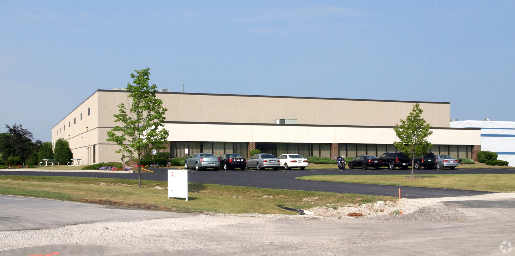
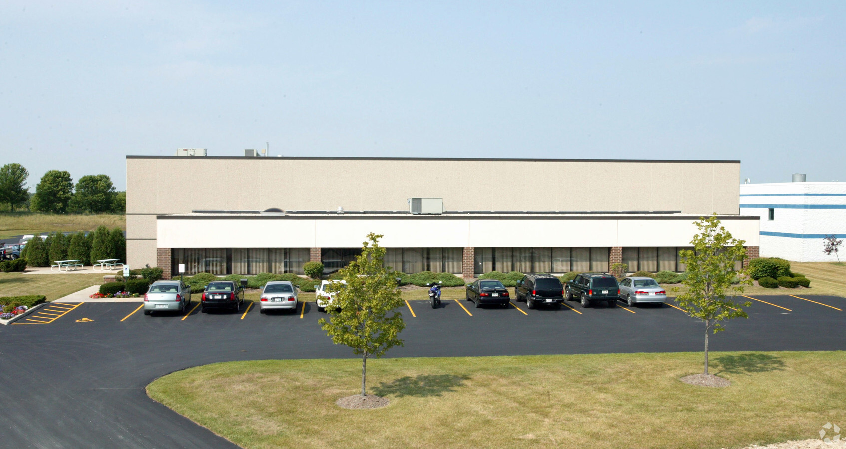
Property Record
10179 S 57Th St, Franklin, WI 53132
NEARBY LISTINGS FOR SALE OR LEASE
Property Detail
10179 S 57Th St
Milwaukee-Waukesha-West Allis, WI
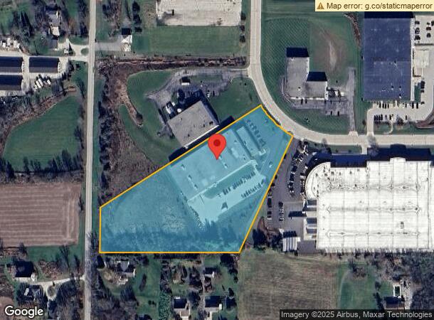
Certified Surv Map 6200
931-0008-002
CERTIFIED SURVEY MAP NO 6200
Industrialgeneral
Milwaukee
X
Wisconsin
55101C0076D
2
2023
6.12 AC
2023
SW Outlying Milwaukee
187200
Milwaukee/Madison
DEMOGRAPHICS near 10179 S 57Th St
1 Mile
3 Mile
5 Mile
2024 Total Population
113
18,462
60,070
2029 Population
112
17,978
58,688
Pop Growth 2024-2029
(0.88%)
(2.62%)
(2.30%)
Average Age
41
42
42
2024 Total Households
45
6,718
23,736
HH Growth 2024-2029
(2.22%)
(2.95%)
(2.38%)
Median Household Inc
$118,749
$103,927
$92,207
Avg Household Size
2.60
2.50
2.40
2024 Avg HH Vehicles
3.00
2.00
2.00
Median Home Value
$363,636
$329,752
$311,489
Median Year Built
1991
1991
1991
Nearby Places
- Restaurants
- Banks
- Shops
- Fitness
- Groceries
PUBLIC TRANSPORTATION
COMMUTER RAIL
General Mitchell Intl. Airport Amtrak Station (Hiawatha Service - Amtrak)
DRIVE
WALK
Distance
General Mitchell Intl. Airport Amtrak Station (Hiawatha Service - Amtrak)
20 min
9.4 mi
AIRPORT
General Mitchell International
DRIVE
WALK
Distance
General Mitchell International
20 min
10.3 mi
Freight Ports
Port Milwaukee
DRIVE
WALK
Distance
Port Milwaukee
24 min
14.2 mi
Nearby Properties
Address
Land Use
TOTAL SIZE
Lot Size
Zoning
Address
Land Use
TOTAL SIZE
Lot Size
Zoning
48.56 AC
RESIDENTIA
Address
Land Use
TOTAL SIZE
Lot Size
Zoning
8.79 AC
RESIDENTIA
Address
Land Use
TOTAL SIZE
Lot Size
Zoning
42.96 AC
Address
Land Use
TOTAL SIZE
Lot Size
Zoning
64,800 SF
28.17 AC
Address
Land Use
TOTAL SIZE
Lot Size
Zoning
14.82 AC
RESIDENTIA
Address
Land Use
TOTAL SIZE
Lot Size
Zoning
19.25 AC
Address
Land Use
TOTAL SIZE
Lot Size
Zoning
26.03 AC
Address
Land Use
TOTAL SIZE
Lot Size
Zoning
18.44 AC
RESIDENTIA
Address
Land Use
TOTAL SIZE
Lot Size
Zoning
42,253 SF
6.02 AC
Address
Land Use
TOTAL SIZE
Lot Size
Zoning
57,474 SF
5.07 AC
Address
Land Use
TOTAL SIZE
Lot Size
Zoning
21.21 AC
Address
Land Use
TOTAL SIZE
Lot Size
Zoning
12.45 AC
Address
Land Use
TOTAL SIZE
Lot Size
Zoning
Address
Land Use
TOTAL SIZE
Lot Size
Zoning
17.47 AC
Address
Land Use
TOTAL SIZE
Lot Size
Zoning
13.56 AC
Address
Land Use
TOTAL SIZE
Lot Size
Zoning
12.31 AC
Address
Land Use
TOTAL SIZE
Lot Size
Zoning
13.16 AC
Address
Land Use
TOTAL SIZE
Lot Size
Zoning
95.21 AC
Address
Land Use
TOTAL SIZE
Lot Size
Zoning
129,024 SF
7.61 AC
Address
Land Use
TOTAL SIZE
Lot Size
Zoning
9.30 AC
Address
Land Use
TOTAL SIZE
Lot Size
Zoning
3.80 AC
RESIDENTIA
Address
Land Use
TOTAL SIZE
Lot Size
Zoning
18.02 AC
Address
Land Use
TOTAL SIZE
Lot Size
Zoning
9.09 AC
Address
Land Use
TOTAL SIZE
Lot Size
Zoning
26.40 AC
Address
Land Use
TOTAL SIZE
Lot Size
Zoning
2,912 SF
0.16 AC
Address
Land Use
TOTAL SIZE
Lot Size
Zoning
13.23 AC
RESIDENTIA
Address
Land Use
TOTAL SIZE
Lot Size
Zoning
78,303 SF
8.41 AC
Address
Land Use
TOTAL SIZE
Lot Size
Zoning
10.08 AC
Address
Land Use
TOTAL SIZE
Lot Size
Zoning
10.96 AC
RESIDENTIA
Address
Land Use
TOTAL SIZE
Lot Size
Zoning
6.46 AC
The World's #1 Commercial Real Estate Marketplace
Connect with us
© 2025 CoStar Group
The information above has been obtained from sources believed reliable. While we do not doubt its accuracy we have not verified it and make no guarantee, warranty or representation about it. It is your responsibility to independently confirm its accuracy and completeness. Any projections, opinions, assumptions, or estimates used are for example only and do not represent the current or future performance of the property. The value of this transaction to you depends on tax and other factors which should be evaluated by your tax, financial, and legal advisors. You and your advisors should conduct a careful, independent investigation of the property to determine to your satisfaction the suitability of the property for your needs.