Property Record
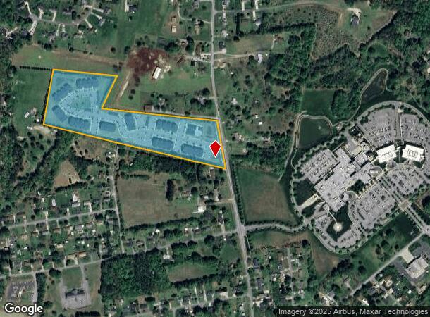
102 Palisades Dr, Lincolnton, NC 28092
NEARBY LISTINGS FOR SALE OR LEASE
Property Detail
102 Palisades Dr
Charlotte-Concord-Gastonia, NC-SC
Traingle Real Estate Of Gastonia Inc
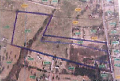
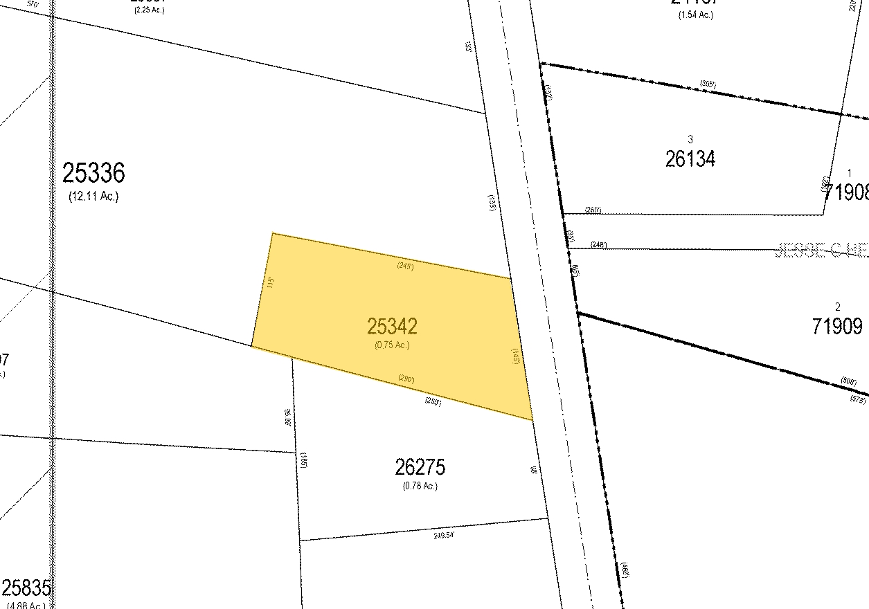
25336
TRACTS A-C TRIANGLE REAL
Apartment
Lincoln
2024
North Carolina
2024
15.15 AC
070201
Lincoln County
29,244 SF
Charlotte
DEMOGRAPHICS near 102 Palisades Dr
1 Mile
3 Mile
5 Mile
2024 Total Population
3,853
18,413
35,257
2029 Population
4,464
21,359
40,932
Pop Growth 2024-2029
+ 15.86%
+ 16.00%
+ 16.10%
Average Age
40
42
42
2024 Total Households
1,535
7,482
14,235
HH Growth 2024-2029
+ 16.22%
+ 16.33%
+ 16.44%
Median Household Inc
$55,950
$59,220
$60,238
Avg Household Size
2.40
2.40
2.40
2024 Avg HH Vehicles
2.00
2.00
2.00
Median Home Value
$187,400
$193,243
$185,786
Median Year Built
1985
1984
1985
Nearby Places
- Restaurants
- Banks
- Shops
- Fitness
- Groceries
PUBLIC TRANSPORTATION
AIRPORT
Charlotte/Douglas International
DRIVE
WALK
Distance
Charlotte/Douglas International
52 min
33.7 mi
Concord-Padgett Regional
DRIVE
WALK
Distance
Concord-Padgett Regional
56 min
38.8 mi
Freight Ports
North Charleston Terminal
DRIVE
WALK
Distance
North Charleston Terminal
265 min
224.8 mi
Nearby Properties
Address
Land Use
TOTAL SIZE
Lot Size
Zoning
Address
Land Use
TOTAL SIZE
Lot Size
Zoning
172,724 SF
55.65 AC
O-I CU
Address
Land Use
TOTAL SIZE
Lot Size
Zoning
88,878 SF
7.21 AC
O-I
Address
Land Use
TOTAL SIZE
Lot Size
Zoning
23,112 SF
11.70 AC
ELDD PD-MU
Address
Land Use
TOTAL SIZE
Lot Size
Zoning
6,144 SF
13.26 AC
P-B & RMF
Address
Land Use
TOTAL SIZE
Lot Size
Zoning
189,220 SF
23.64 AC
P-B CU
Address
Land Use
TOTAL SIZE
Lot Size
Zoning
1,488 SF
10.65 AC
O-I CU
Address
Land Use
TOTAL SIZE
Lot Size
Zoning
36,448 SF
7.73 AC
RMF
Address
Land Use
TOTAL SIZE
Lot Size
Zoning
10,120 SF
23.38 AC
G-B & P-B
Address
Land Use
TOTAL SIZE
Lot Size
Zoning
42,405 SF
34.47 AC
GMC
Address
Land Use
TOTAL SIZE
Lot Size
Zoning
37,782 SF
3.34 AC
B-G CU
Address
Land Use
TOTAL SIZE
Lot Size
Zoning
39,860 SF
3.71 AC
O-I
Address
Land Use
TOTAL SIZE
Lot Size
Zoning
4,475 SF
14.98 AC
R-15
Address
Land Use
TOTAL SIZE
Lot Size
Zoning
8,770 SF
11.21 AC
P-B
Address
Land Use
TOTAL SIZE
Lot Size
Zoning
42,185 SF
5.26 AC
B-G
Address
Land Use
TOTAL SIZE
Lot Size
Zoning
120,810 SF
16.90 AC
G-B CU
Address
Land Use
TOTAL SIZE
Lot Size
Zoning
40,203 SF
3.37 AC
P-B
Address
Land Use
TOTAL SIZE
Lot Size
Zoning
11,248 SF
5.23 AC
G-B & R-8
Address
Land Use
TOTAL SIZE
Lot Size
Zoning
41,016 SF
4 AC
G-B
Address
Land Use
TOTAL SIZE
Lot Size
Zoning
42,882 SF
10.52 AC
P-B
Address
Land Use
TOTAL SIZE
Lot Size
Zoning
8,228 SF
10.82 AC
R-T
Address
Land Use
TOTAL SIZE
Lot Size
Zoning
63,404 SF
22.22 AC
GMC
Address
Land Use
TOTAL SIZE
Lot Size
Zoning
36,100 SF
3.38 AC
R-8
Address
Land Use
TOTAL SIZE
Lot Size
Zoning
52,250 SF
25.71 AC
GMC & O-I
Address
Land Use
TOTAL SIZE
Lot Size
Zoning
96,888 SF
14.66 AC
G-B & P-B
Address
Land Use
TOTAL SIZE
Lot Size
Zoning
22,870 SF
10.60 AC
R-O
Address
Land Use
TOTAL SIZE
Lot Size
Zoning
41,025 SF
23.14 AC
R-15
Address
Land Use
TOTAL SIZE
Lot Size
Zoning
16,480 SF
12.20 AC
O-I
Address
Land Use
TOTAL SIZE
Lot Size
Zoning
20,676 SF
1.04 AC
C-B
Address
Land Use
TOTAL SIZE
Lot Size
Zoning
30,532 SF
3.50 AC
O-I
The World's #1 Commercial Real Estate Marketplace
Connect with us
© 2025 CoStar Group
The information above has been obtained from sources believed reliable. While we do not doubt its accuracy we have not verified it and make no guarantee, warranty or representation about it. It is your responsibility to independently confirm its accuracy and completeness. Any projections, opinions, assumptions, or estimates used are for example only and do not represent the current or future performance of the property. The value of this transaction to you depends on tax and other factors which should be evaluated by your tax, financial, and legal advisors. You and your advisors should conduct a careful, independent investigation of the property to determine to your satisfaction the suitability of the property for your needs.