Property Record
102 W Main St, Tavares, FL 32778


NEARBY LISTINGS FOR SALE OR LEASE
Property Detail
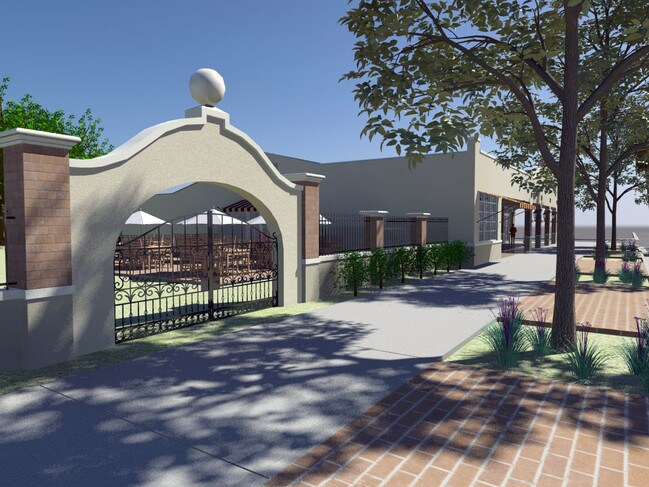
102 W Main St
Orlando-Kissimmee-Sanford, FL
Tavares
29-19-26-0100-013-00L01
TAVARES BLK 13 PB 1 PG 64 LOTS L M N O BLK 13 ORB 5308 PG 447
Vacantlandnec
Lake
X
Florida
12069C0361E
l
0
0.47 AC
2026
Lake County
030803
Orlando
7,342 SF
DEMOGRAPHICS near 102 W Main St
1 Mile
3 Mile
5 Mile
2024 Total Population
5,778
29,005
64,282
2029 Population
6,842
34,146
75,321
Pop Growth 2024-2029
+ 18.41%
+ 17.72%
+ 17.17%
Average Age
47
47
46
2024 Total Households
2,532
12,874
27,914
HH Growth 2024-2029
+ 18.84%
+ 17.71%
+ 17.07%
Median Household Inc
$47,447
$48,263
$53,980
Avg Household Size
2.00
2.10
2.20
2024 Avg HH Vehicles
1.00
1.00
2.00
Median Home Value
$171,769
$205,009
$215,092
Median Year Built
1981
1988
1985
Nearby Places
Map Layers
Map Styles
 Street
 Aerial
- Restaurants
- Banks
- Shops
- Fitness
- Groceries
PUBLIC TRANSPORTATION
AIRPORT
Orlando Sanford International
DRIVE
WALK
Distance
Orlando Sanford International
50 min
32.7 mi
Orlando International
DRIVE
WALK
Distance
Orlando International
68 min
48.1 mi
SALE & LEASE HISTORY
LISTING DATE
SALE/LEASE

Sep 25, 2016
For Lease
Nov 17, 2017
For Lease
Mar 16, 2017
For Sale
Jan 30, 2018
For Sale
Aug 03, 2017
For Lease
Nearby Properties
Address
Land Use
TOTAL SIZE
Lot Size
Zoning
Address
Land Use
TOTAL SIZE
Lot Size
Zoning
730,215 SF
151.42 AC
PD
Address
Land Use
TOTAL SIZE
Lot Size
Zoning
15,600 SF
9.32 AC
PFD
Address
Land Use
TOTAL SIZE
Lot Size
Zoning
302,511 SF
23.16 AC
Address
Land Use
TOTAL SIZE
Lot Size
Zoning
278,266 SF
23.85 AC
PD
Address
Land Use
TOTAL SIZE
Lot Size
Zoning
226,508 SF
19.15 AC
Address
Land Use
TOTAL SIZE
Lot Size
Zoning
481,096 SF
2.17 AC
PFD
Address
Land Use
TOTAL SIZE
Lot Size
Zoning
158,442 SF
17.50 AC
MCI
Address
Land Use
TOTAL SIZE
Lot Size
Zoning
121,005 SF
6.56 AC
Address
Land Use
TOTAL SIZE
Lot Size
Zoning
85,539 SF
9.39 AC
Address
Land Use
TOTAL SIZE
Lot Size
Zoning
138,613 SF
24.59 AC
PFD
Address
Land Use
TOTAL SIZE
Lot Size
Zoning
97,053 SF
1.50 AC
PFD
Address
Land Use
TOTAL SIZE
Lot Size
Zoning
45,732 SF
5.68 AC
PD
Address
Land Use
TOTAL SIZE
Lot Size
Zoning
145,614 SF
11.27 AC
PD
Address
Land Use
TOTAL SIZE
Lot Size
Zoning
135,298 SF
9.22 AC
SR
Address
Land Use
TOTAL SIZE
Lot Size
Zoning
190,551 SF
20.31 AC
GC
Address
Land Use
TOTAL SIZE
Lot Size
Zoning
29,066 SF
0.76 AC
Address
Land Use
TOTAL SIZE
Lot Size
Zoning
149,998 SF
8.73 AC
I
Address
Land Use
TOTAL SIZE
Lot Size
Zoning
36,261 SF
6.27 AC
PD
Address
Land Use
TOTAL SIZE
Lot Size
Zoning
2,000 SF
3.04 AC
PFD
Address
Land Use
TOTAL SIZE
Lot Size
Zoning
45,310 SF
2.93 AC
PFD
Address
Land Use
TOTAL SIZE
Lot Size
Zoning
146,690 SF
15.19 AC
RMF2
Address
Land Use
TOTAL SIZE
Lot Size
Zoning
106,175 SF
8.10 AC
UR
Address
Land Use
TOTAL SIZE
Lot Size
Zoning
54,035 SF
1.65 AC
PD
Address
Land Use
TOTAL SIZE
Lot Size
Zoning
87,462 SF
4.94 AC
RMF3
Address
Land Use
TOTAL SIZE
Lot Size
Zoning
121,815 SF
33.48 AC
PD
Address
Land Use
TOTAL SIZE
Lot Size
Zoning
2,000 SF
19.74 AC
PFD
Address
Land Use
TOTAL SIZE
Lot Size
Zoning
2,000 SF
2.14 AC
PFD
Address
Land Use
TOTAL SIZE
Lot Size
Zoning
63,600 SF
1.24 AC
PD
Address
Land Use
TOTAL SIZE
Lot Size
Zoning
100,117 SF
7.45 AC
GC
Address
Land Use
TOTAL SIZE
Lot Size
Zoning
116,261 SF
5.66 AC
The World's #1 Commercial Real Estate Marketplace
Connect with us
© 2025 CoStar Group
The information above has been obtained from sources believed reliable. While we do not doubt its accuracy we have not verified it and make no guarantee, warranty or representation about it. It is your responsibility to independently confirm its accuracy and completeness. Any projections, opinions, assumptions, or estimates used are for example only and do not represent the current or future performance of the property. The value of this transaction to you depends on tax and other factors which should be evaluated by your tax, financial, and legal advisors. You and your advisors should conduct a careful, independent investigation of the property to determine to your satisfaction the suitability of the property for your needs.