Property Record
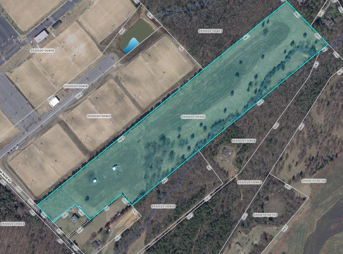
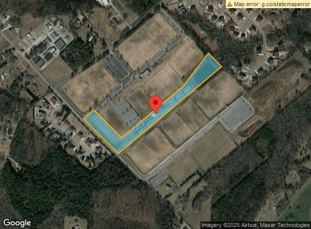
1020 Anderson Ridge Rd, Greer, SC 29651
NEARBY LISTINGS FOR SALE OR LEASE
Property Detail
1020 Anderson Ridge Rd
Greenville-Anderson-Mauldin, SC
Property Of C K Watson
0550.02-01-004.08
MAP 0550.02
Storebuilding
Greenville
X
South Carolina
45045C0437E
004.08
0
7.90 AC
2024
Mauldin/Fountain
002822
Greenville/Spartanburg
DEMOGRAPHICS near 1020 Anderson Ridge Rd
1 Mile
3 Mile
5 Mile
2024 Total Population
3,410
33,924
73,609
2029 Population
3,761
37,352
81,377
Pop Growth 2024-2029
+ 10.29%
+ 10.10%
+ 10.55%
Average Age
36
39
40
2024 Total Households
1,043
11,525
26,400
HH Growth 2024-2029
+ 10.26%
+ 10.24%
+ 10.69%
Median Household Inc
$129,479
$113,336
$106,921
Avg Household Size
3.20
2.90
2.70
2024 Avg HH Vehicles
2.00
2.00
2.00
Median Home Value
$363,921
$310,092
$300,366
Median Year Built
2010
2004
2001
Nearby Places
- Restaurants
- Banks
- Shops
- Fitness
- Groceries
PUBLIC TRANSPORTATION
AIRPORT
Greenville Spartanburg International
DRIVE
WALK
Distance
Greenville Spartanburg International
18 min
7.6 mi
Freight Ports
North Charleston Terminal
DRIVE
WALK
Distance
North Charleston Terminal
229 min
195.8 mi
Nearby Properties
Address
Land Use
TOTAL SIZE
Lot Size
Zoning
Address
Land Use
TOTAL SIZE
Lot Size
Zoning
301 AC
RS
Address
Land Use
TOTAL SIZE
Lot Size
Zoning
4,128 SF
25.54 AC
RS
Address
Land Use
TOTAL SIZE
Lot Size
Zoning
2.97 AC
S1
Address
Land Use
TOTAL SIZE
Lot Size
Zoning
34.33 AC
RS
Address
Land Use
TOTAL SIZE
Lot Size
Zoning
16.05 AC
R12
Address
Land Use
TOTAL SIZE
Lot Size
Zoning
28.30 AC
RS
Address
Land Use
TOTAL SIZE
Lot Size
Zoning
925 SF
6.57 AC
C2
Address
Land Use
TOTAL SIZE
Lot Size
Zoning
25.26 AC
RS
Address
Land Use
TOTAL SIZE
Lot Size
Zoning
25.94 AC
RS
Address
Land Use
TOTAL SIZE
Lot Size
Zoning
1,758 SF
15.08 AC
RS
Address
Land Use
TOTAL SIZE
Lot Size
Zoning
14,306 SF
3.64 AC
RS
Address
Land Use
TOTAL SIZE
Lot Size
Zoning
3.09 AC
RS
Address
Land Use
TOTAL SIZE
Lot Size
Zoning
9.69 AC
C2
Address
Land Use
TOTAL SIZE
Lot Size
Zoning
1,324 SF
9.80 AC
RS
Address
Land Use
TOTAL SIZE
Lot Size
Zoning
19.38 AC
LR-R10000
Address
Land Use
TOTAL SIZE
Lot Size
Zoning
7.89 AC
C1
Address
Land Use
TOTAL SIZE
Lot Size
Zoning
1,846 SF
8.88 AC
C1
Address
Land Use
TOTAL SIZE
Lot Size
Zoning
5.82 AC
C2
Address
Land Use
TOTAL SIZE
Lot Size
Zoning
11 AC
RS
Address
Land Use
TOTAL SIZE
Lot Size
Zoning
1,602 SF
2.53 AC
POD
Address
Land Use
TOTAL SIZE
Lot Size
Zoning
3.40 AC
RS
Address
Land Use
TOTAL SIZE
Lot Size
Zoning
15.08 AC
R12
Address
Land Use
TOTAL SIZE
Lot Size
Zoning
4,769 SF
0.60 AC
Address
Land Use
TOTAL SIZE
Lot Size
Zoning
4,060 SF
0.60 AC
Address
Land Use
TOTAL SIZE
Lot Size
Zoning
1,534 SF
6.18 AC
C1
Address
Land Use
TOTAL SIZE
Lot Size
Zoning
18.76 AC
RS
Address
Land Use
TOTAL SIZE
Lot Size
Zoning
1,714 SF
6.20 AC
RS
Address
Land Use
TOTAL SIZE
Lot Size
Zoning
8.45 AC
RS
Address
Land Use
TOTAL SIZE
Lot Size
Zoning
8.10 AC
RS
Address
Land Use
TOTAL SIZE
Lot Size
Zoning
1,050 SF
11.59 AC
The World's #1 Commercial Real Estate Marketplace
Connect with us
© 2025 CoStar Group
The information above has been obtained from sources believed reliable. While we do not doubt its accuracy we have not verified it and make no guarantee, warranty or representation about it. It is your responsibility to independently confirm its accuracy and completeness. Any projections, opinions, assumptions, or estimates used are for example only and do not represent the current or future performance of the property. The value of this transaction to you depends on tax and other factors which should be evaluated by your tax, financial, and legal advisors. You and your advisors should conduct a careful, independent investigation of the property to determine to your satisfaction the suitability of the property for your needs.