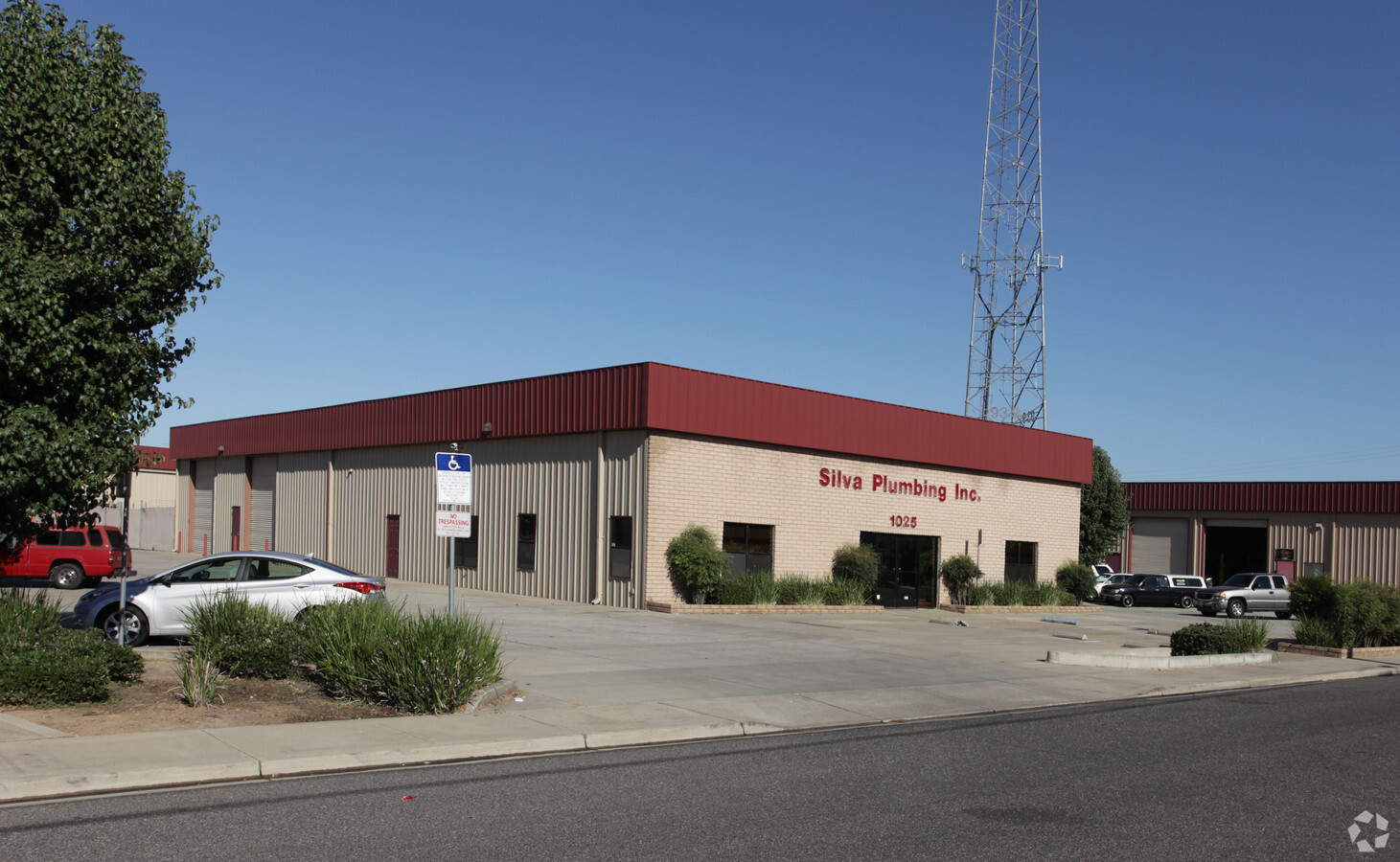
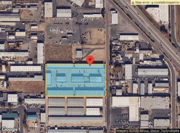
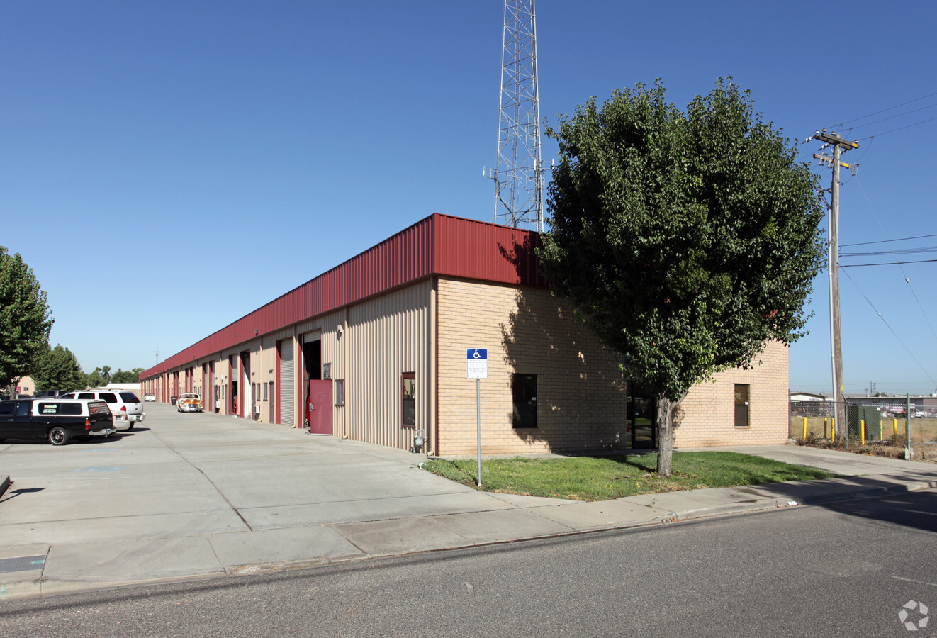
Property Record
1025 Lone Palm Ave, Modesto, CA 95351
NEARBY LISTINGS FOR SALE OR LEASE
Property Detail
1025 Lone Palm Ave
029-12-05
Maze Colony
Warehouse
Stanislaus
X
California
06099C0325E
5
2024
4.78 AC
2024
Modesto
000602
Stockton/Modesto
15,000 SF
Modesto, CA
DEMOGRAPHICS near 1025 Lone Palm Ave
1 Mile
3 Mile
5 Mile
2024 Total Population
11,782
111,426
249,571
2029 Population
11,859
111,602
249,919
Pop Growth 2024-2029
+ 0.65%
+ 0.16%
+ 0.14%
Average Age
36
37
37
2024 Total Households
3,706
37,194
81,492
HH Growth 2024-2029
+ 0.59%
+ 0.15%
+ 0.13%
Median Household Inc
$71,386
$65,818
$69,843
Avg Household Size
3.00
2.90
3.00
2024 Avg HH Vehicles
2.00
2.00
2.00
Median Home Value
$345,660
$350,580
$379,267
Median Year Built
1969
1968
1976
Nearby Places
- Restaurants
- Banks
- Shops
- Fitness
- Groceries
PUBLIC TRANSPORTATION
COMMUTER RAIL
Modesto (San Joaquins - Amtrak)
DRIVE
WALK
Distance
Modesto (San Joaquins - Amtrak)
16 min
7.8 mi
AIRPORT
Stockton Metro
DRIVE
WALK
Distance
Stockton Metro
33 min
23.6 mi
Freight Ports
Port of Stockton
DRIVE
WALK
Distance
Port of Stockton
42 min
32.1 mi
Nearby Properties
Address
Land Use
TOTAL SIZE
Lot Size
Zoning
Address
Land Use
TOTAL SIZE
Lot Size
Zoning
817,526 SF
17.31 AC
Address
Land Use
TOTAL SIZE
Lot Size
Zoning
373,574 SF
23 AC
Address
Land Use
TOTAL SIZE
Lot Size
Zoning
450,277 SF
15.29 AC
Address
Land Use
TOTAL SIZE
Lot Size
Zoning
308,903 SF
13.21 AC
Address
Land Use
TOTAL SIZE
Lot Size
Zoning
153,937 SF
7.87 AC
Address
Land Use
TOTAL SIZE
Lot Size
Zoning
151,288 SF
6.50 AC
Address
Land Use
TOTAL SIZE
Lot Size
Zoning
138,618 SF
3.99 AC
Address
Land Use
TOTAL SIZE
Lot Size
Zoning
50,688 SF
2.60 AC
Address
Land Use
TOTAL SIZE
Lot Size
Zoning
266,975 SF
1.90 AC
Address
Land Use
TOTAL SIZE
Lot Size
Zoning
173,172 SF
13.79 AC
Address
Land Use
TOTAL SIZE
Lot Size
Zoning
175,754 SF
8.75 AC
PD
Address
Land Use
TOTAL SIZE
Lot Size
Zoning
131,958 SF
8.11 AC
Address
Land Use
TOTAL SIZE
Lot Size
Zoning
26,416 SF
18.92 AC
MODPD
Address
Land Use
TOTAL SIZE
Lot Size
Zoning
120,383 SF
5.52 AC
MODCM
Address
Land Use
TOTAL SIZE
Lot Size
Zoning
280,223 SF
23.52 AC
MOD C-2
Address
Land Use
TOTAL SIZE
Lot Size
Zoning
110,684 SF
5.03 AC
Address
Land Use
TOTAL SIZE
Lot Size
Zoning
142,521 SF
6.94 AC
Address
Land Use
TOTAL SIZE
Lot Size
Zoning
14.92 AC
MODM2
Address
Land Use
TOTAL SIZE
Lot Size
Zoning
62,280 SF
1.95 AC
Address
Land Use
TOTAL SIZE
Lot Size
Zoning
2.16 AC
Address
Land Use
TOTAL SIZE
Lot Size
Zoning
15,230 SF
5.82 AC
Address
Land Use
TOTAL SIZE
Lot Size
Zoning
204,801 SF
12.99 AC
M2
Address
Land Use
TOTAL SIZE
Lot Size
Zoning
80,987 SF
4.33 AC
PD
Address
Land Use
TOTAL SIZE
Lot Size
Zoning
71,476 SF
3.47 AC
Address
Land Use
TOTAL SIZE
Lot Size
Zoning
78,749 SF
6.78 AC
Address
Land Use
TOTAL SIZE
Lot Size
Zoning
85,968 SF
2.26 AC
MODCD
Address
Land Use
TOTAL SIZE
Lot Size
Zoning
3.17 AC
Address
Land Use
TOTAL SIZE
Lot Size
Zoning
122,944 SF
9.81 AC
Address
Land Use
TOTAL SIZE
Lot Size
Zoning
92,351 SF
3.85 AC
Address
Land Use
TOTAL SIZE
Lot Size
Zoning
73,290 SF
6 AC
MODPD
The World's #1 Commercial Real Estate Marketplace
Connect with us
© 2025 CoStar Group
The information above has been obtained from sources believed reliable. While we do not doubt its accuracy we have not verified it and make no guarantee, warranty or representation about it. It is your responsibility to independently confirm its accuracy and completeness. Any projections, opinions, assumptions, or estimates used are for example only and do not represent the current or future performance of the property. The value of this transaction to you depends on tax and other factors which should be evaluated by your tax, financial, and legal advisors. You and your advisors should conduct a careful, independent investigation of the property to determine to your satisfaction the suitability of the property for your needs.