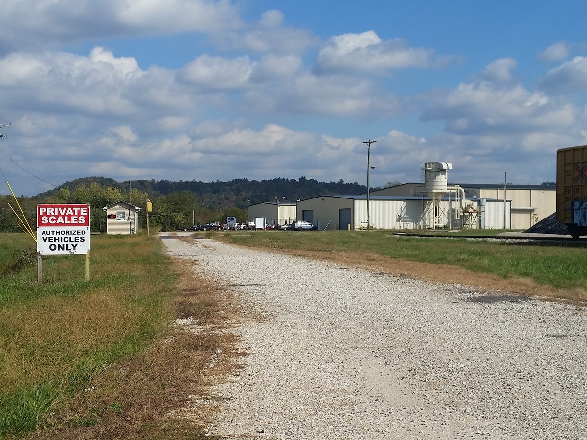
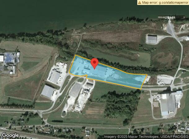
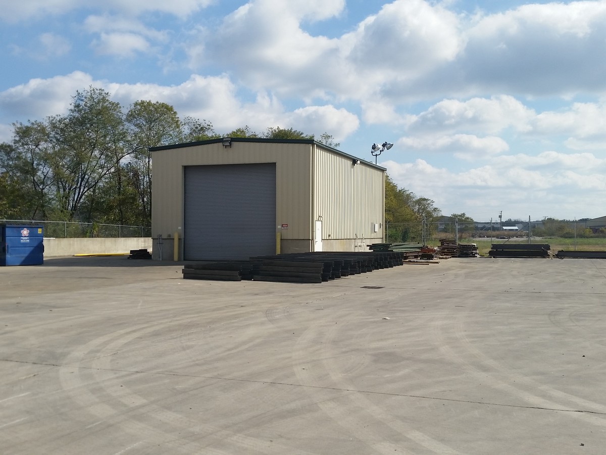
Property Record
1033 Port Rd, Greenup, KY 41144
NEARBY LISTINGS FOR SALE OR LEASE
Property Detail
1033 Port Rd
167-20-04-013.00
Wurtland River Port
Warehouse
WURTLAND RIVER PORT 10.39 AC
AE
Greenup
21089C0192D
Kentucky
2024
12.85 AC
2024
Greenup County
040400
Huntington/Ashland
10,000 SF
Huntington-Ashland, WV-KY-OH
DEMOGRAPHICS near 1033 Port Rd
1 Mile
3 Mile
5 Mile
2024 Total Population
1,611
7,724
25,002
2029 Population
1,581
7,523
24,441
Pop Growth 2024-2029
(1.86%)
(2.60%)
(2.24%)
Average Age
44
43
43
2024 Total Households
640
3,123
10,206
HH Growth 2024-2029
(1.88%)
(2.59%)
(2.23%)
Median Household Inc
$51,639
$53,505
$54,329
Avg Household Size
2.40
2.40
2.30
2024 Avg HH Vehicles
2.00
2.00
2.00
Median Home Value
$116,136
$120,000
$123,771
Median Year Built
1970
1974
1971
Nearby Places
- Restaurants
- Banks
- Shops
- Fitness
- Groceries
PUBLIC TRANSPORTATION
AIRPORT
Tri-State/Milton J Ferguson Field
DRIVE
WALK
Distance
Tri-State/Milton J Ferguson Field
38 min
22.5 mi
Freight Ports
Port of Toledo
DRIVE
WALK
Distance
Port of Toledo
329 min
251.0 mi
SALE & LEASE HISTORY
LISTING DATE
SALE/LEASE

Nov 07, 2017
For Sale
Nov 07, 2016
For Sale
Aug 07, 2017
For Sale
Nearby Properties
Address
Land Use
TOTAL SIZE
Lot Size
Zoning
Address
Land Use
TOTAL SIZE
Lot Size
Zoning
60.39 AC
Address
Land Use
TOTAL SIZE
Lot Size
Zoning
1,500 SF
559.08 AC
Address
Land Use
TOTAL SIZE
Lot Size
Zoning
Address
Land Use
TOTAL SIZE
Lot Size
Zoning
Address
Land Use
TOTAL SIZE
Lot Size
Zoning
11 AC
Address
Land Use
TOTAL SIZE
Lot Size
Zoning
31.10 AC
Address
Land Use
TOTAL SIZE
Lot Size
Zoning
9,300 SF
7.65 AC
Address
Land Use
TOTAL SIZE
Lot Size
Zoning
Address
Land Use
TOTAL SIZE
Lot Size
Zoning
14.80 AC
Address
Land Use
TOTAL SIZE
Lot Size
Zoning
10,000 SF
15 AC
Address
Land Use
TOTAL SIZE
Lot Size
Zoning
Address
Land Use
TOTAL SIZE
Lot Size
Zoning
16.15 AC
Address
Land Use
TOTAL SIZE
Lot Size
Zoning
Address
Land Use
TOTAL SIZE
Lot Size
Zoning
Address
Land Use
TOTAL SIZE
Lot Size
Zoning
8.79 AC
Address
Land Use
TOTAL SIZE
Lot Size
Zoning
Address
Land Use
TOTAL SIZE
Lot Size
Zoning
10.90 AC
Address
Land Use
TOTAL SIZE
Lot Size
Zoning
720 SF
1.37 AC
Address
Land Use
TOTAL SIZE
Lot Size
Zoning
18,800 SF
2.60 AC
Address
Land Use
TOTAL SIZE
Lot Size
Zoning
10,500 SF
91 AC
Address
Land Use
TOTAL SIZE
Lot Size
Zoning
24,500 SF
14.35 AC
Address
Land Use
TOTAL SIZE
Lot Size
Zoning
9,778 SF
0.27 AC
Address
Land Use
TOTAL SIZE
Lot Size
Zoning
232.56 AC
Address
Land Use
TOTAL SIZE
Lot Size
Zoning
10.04 AC
Address
Land Use
TOTAL SIZE
Lot Size
Zoning
3.18 AC
Address
Land Use
TOTAL SIZE
Lot Size
Zoning
1,064 SF
0.99 AC
Address
Land Use
TOTAL SIZE
Lot Size
Zoning
9.72 AC
Address
Land Use
TOTAL SIZE
Lot Size
Zoning
5,142 SF
0.24 AC
Address
Land Use
TOTAL SIZE
Lot Size
Zoning
5,625 SF
0.62 AC
The World's #1 Commercial Real Estate Marketplace
Connect with us
© 2025 CoStar Group
The information above has been obtained from sources believed reliable. While we do not doubt its accuracy we have not verified it and make no guarantee, warranty or representation about it. It is your responsibility to independently confirm its accuracy and completeness. Any projections, opinions, assumptions, or estimates used are for example only and do not represent the current or future performance of the property. The value of this transaction to you depends on tax and other factors which should be evaluated by your tax, financial, and legal advisors. You and your advisors should conduct a careful, independent investigation of the property to determine to your satisfaction the suitability of the property for your needs.