Property Record
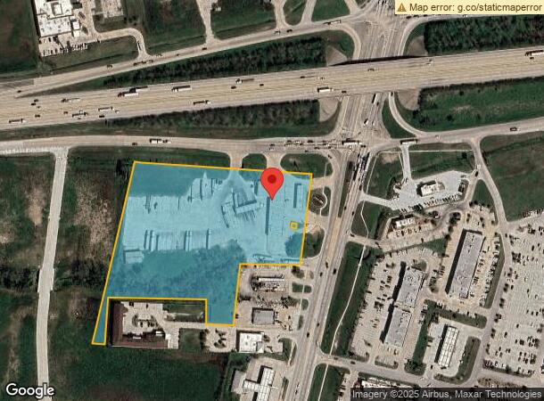
10330 I-10 E Highway 146, Baytown, TX 77523


NEARBY LISTINGS FOR SALE OR LEASE
Property Detail
10330 I-10 E Highway 146
00004-10105-00000-090001
Wm Bloodgood
Commercialnec
4 TR 101E-0 WM BLOODGOOD ACCOUNT #400 I10 @ HWY 146 - SUNMART
X
Chambers
48071C0160F
Texas
2024
7.48 AC
2024
Chambers Cnty/Baytown
710201
Houston
14,900 SF
Houston-The Woodlands-Sugar Land, TX
DEMOGRAPHICS near 10330 I-10 E Highway 146
1 Mile
3 Mile
5 Mile
2024 Total Population
4,121
17,914
56,476
2029 Population
5,290
22,223
67,206
Pop Growth 2024-2029
+ 28.37%
+ 24.05%
+ 19.00%
Average Age
33
35
35
2024 Total Households
1,286
5,745
18,079
HH Growth 2024-2029
+ 28.30%
+ 24.06%
+ 19.08%
Median Household Inc
$137,312
$103,780
$93,597
Avg Household Size
3.20
3.10
3.10
2024 Avg HH Vehicles
2.00
2.00
2.00
Median Home Value
$223,684
$237,611
$266,005
Median Year Built
2010
2006
2006
Nearby Places
- Restaurants
- Banks
- Shops
- Fitness
- Groceries
PUBLIC TRANSPORTATION
AIRPORT
William P. Hobby
DRIVE
WALK
Distance
William P. Hobby
43 min
35.3 mi
Houston George Bush Intercontinental
DRIVE
WALK
Distance
Houston George Bush Intercontinental
41 min
38.8 mi
Freight Ports
Port of Houston
DRIVE
WALK
Distance
Port of Houston
1 min
23.2 mi
SALE & LEASE HISTORY
LISTING DATE
SALE/LEASE

Oct 28, 2020
For Sale
Oct 18, 2022
For Sale
May 09, 2017
For Sale
Jan 18, 2024
For Sale
Dec 28, 2018
For Sale
Nearby Properties
Address
Land Use
TOTAL SIZE
Lot Size
Zoning
Address
Land Use
TOTAL SIZE
Lot Size
Zoning
0.58 AC
Address
Land Use
TOTAL SIZE
Lot Size
Zoning
738.46 AC
Address
Land Use
TOTAL SIZE
Lot Size
Zoning
463.62 AC
Address
Land Use
TOTAL SIZE
Lot Size
Zoning
738.31 AC
Address
Land Use
TOTAL SIZE
Lot Size
Zoning
Address
Land Use
TOTAL SIZE
Lot Size
Zoning
63,224 SF
738.31 AC
Address
Land Use
TOTAL SIZE
Lot Size
Zoning
738.46 AC
Address
Land Use
TOTAL SIZE
Lot Size
Zoning
504,680 SF
29.61 AC
Address
Land Use
TOTAL SIZE
Lot Size
Zoning
22,375 SF
12.13 AC
Address
Land Use
TOTAL SIZE
Lot Size
Zoning
133,873 SF
12.26 AC
Address
Land Use
TOTAL SIZE
Lot Size
Zoning
174.61 AC
Address
Land Use
TOTAL SIZE
Lot Size
Zoning
738.46 AC
Address
Land Use
TOTAL SIZE
Lot Size
Zoning
42.79 AC
Address
Land Use
TOTAL SIZE
Lot Size
Zoning
187,383 SF
18.95 AC
Address
Land Use
TOTAL SIZE
Lot Size
Zoning
21,000 SF
51.28 AC
Address
Land Use
TOTAL SIZE
Lot Size
Zoning
24.90 AC
Address
Land Use
TOTAL SIZE
Lot Size
Zoning
68.73 AC
Address
Land Use
TOTAL SIZE
Lot Size
Zoning
34.88 AC
Address
Land Use
TOTAL SIZE
Lot Size
Zoning
27.91 AC
Address
Land Use
TOTAL SIZE
Lot Size
Zoning
55.10 AC
Address
Land Use
TOTAL SIZE
Lot Size
Zoning
45.60 AC
Address
Land Use
TOTAL SIZE
Lot Size
Zoning
111,906 SF
15.67 AC
Address
Land Use
TOTAL SIZE
Lot Size
Zoning
199.45 AC
Address
Land Use
TOTAL SIZE
Lot Size
Zoning
6,771 SF
28.08 AC
Address
Land Use
TOTAL SIZE
Lot Size
Zoning
104.53 AC
Address
Land Use
TOTAL SIZE
Lot Size
Zoning
2,116 SF
57.90 AC
Address
Land Use
TOTAL SIZE
Lot Size
Zoning
63,224 SF
738.46 AC
The World's #1 Commercial Real Estate Marketplace
Connect with us
© 2025 CoStar Group
The information above has been obtained from sources believed reliable. While we do not doubt its accuracy we have not verified it and make no guarantee, warranty or representation about it. It is your responsibility to independently confirm its accuracy and completeness. Any projections, opinions, assumptions, or estimates used are for example only and do not represent the current or future performance of the property. The value of this transaction to you depends on tax and other factors which should be evaluated by your tax, financial, and legal advisors. You and your advisors should conduct a careful, independent investigation of the property to determine to your satisfaction the suitability of the property for your needs.