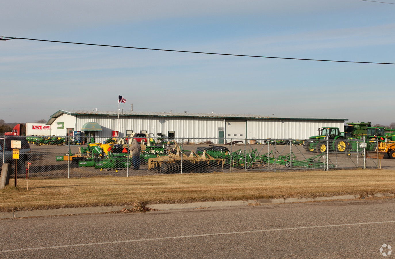
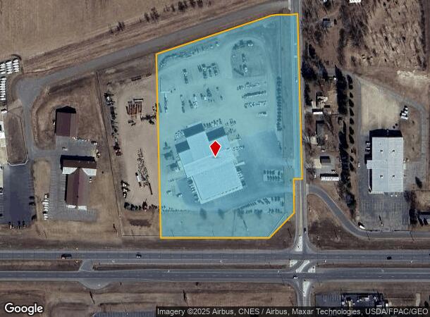
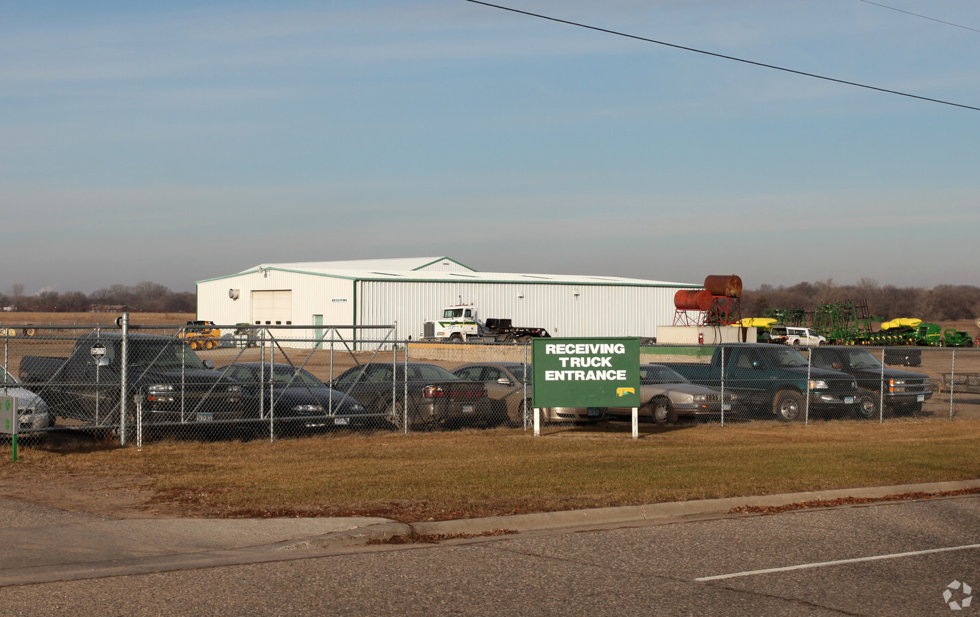
Property Record
1035 35Th Ave Ne, Sauk Rapids, MN 56379
NEARBY LISTINGS FOR SALE OR LEASE
Property Detail
1035 35Th Ave Ne
09.00484.01
SECT-29 TWP-036 RANGE-030 10.16 AC PART OF SE1/4 NE1/4 COMM AT E1/4 COR OF SEC TH N 237.32 FT TO NLY R/W OF HWY 23 & POB TH
Commercialnec
Benton
X
Minnesota
27009C0280E
10.16 AC
2024
Benton County
2024
Minneapolis/St Paul
020300
St. Cloud, MN
39,420 SF
DEMOGRAPHICS near 1035 35Th Ave Ne
1 Mile
3 Mile
5 Mile
2024 Total Population
308
12,540
58,347
2029 Population
310
12,889
60,148
Pop Growth 2024-2029
+ 0.65%
+ 2.78%
+ 3.09%
Average Age
37
35
36
2024 Total Households
114
5,164
22,522
HH Growth 2024-2029
0.00%
+ 2.63%
+ 3.08%
Median Household Inc
$85,000
$59,195
$51,181
Avg Household Size
2.70
2.40
2.30
2024 Avg HH Vehicles
2.00
2.00
2.00
Median Home Value
$286,764
$240,938
$177,524
Median Year Built
1999
1985
1976
Nearby Places
- Restaurants
- Banks
- Shops
- Fitness
- Groceries
PUBLIC TRANSPORTATION
COMMUTER RAIL
St. Cloud Amtrak Station (Empire Builder - Amtrak)
DRIVE
WALK
Distance
St. Cloud Amtrak Station (Empire Builder - Amtrak)
5 min
3.4 mi
Freight Ports
Port Milwaukee
DRIVE
WALK
Distance
Port Milwaukee
452 min
404.7 mi
Nearby Properties
Address
Land Use
TOTAL SIZE
Lot Size
Zoning
Address
Land Use
TOTAL SIZE
Lot Size
Zoning
362,000 SF
86.20 AC
Address
Land Use
TOTAL SIZE
Lot Size
Zoning
Address
Land Use
TOTAL SIZE
Lot Size
Zoning
Address
Land Use
TOTAL SIZE
Lot Size
Zoning
127,460 SF
5 AC
Address
Land Use
TOTAL SIZE
Lot Size
Zoning
6.61 AC
Address
Land Use
TOTAL SIZE
Lot Size
Zoning
Address
Land Use
TOTAL SIZE
Lot Size
Zoning
29,349 SF
4.83 AC
Address
Land Use
TOTAL SIZE
Lot Size
Zoning
71,940 SF
1.99 AC
Address
Land Use
TOTAL SIZE
Lot Size
Zoning
80,100 SF
11.01 AC
Address
Land Use
TOTAL SIZE
Lot Size
Zoning
4.21 AC
Address
Land Use
TOTAL SIZE
Lot Size
Zoning
Address
Land Use
TOTAL SIZE
Lot Size
Zoning
171,311 SF
1.77 AC
C3
Address
Land Use
TOTAL SIZE
Lot Size
Zoning
Address
Land Use
TOTAL SIZE
Lot Size
Zoning
32.29 AC
Address
Land Use
TOTAL SIZE
Lot Size
Zoning
4.73 AC
Address
Land Use
TOTAL SIZE
Lot Size
Zoning
Address
Land Use
TOTAL SIZE
Lot Size
Zoning
Address
Land Use
TOTAL SIZE
Lot Size
Zoning
Address
Land Use
TOTAL SIZE
Lot Size
Zoning
123,100 SF
3.39 AC
Address
Land Use
TOTAL SIZE
Lot Size
Zoning
Address
Land Use
TOTAL SIZE
Lot Size
Zoning
Address
Land Use
TOTAL SIZE
Lot Size
Zoning
Address
Land Use
TOTAL SIZE
Lot Size
Zoning
72,750 SF
8.26 AC
Address
Land Use
TOTAL SIZE
Lot Size
Zoning
Address
Land Use
TOTAL SIZE
Lot Size
Zoning
114,600 SF
1.30 AC
Address
Land Use
TOTAL SIZE
Lot Size
Zoning
2.55 AC
Address
Land Use
TOTAL SIZE
Lot Size
Zoning
Address
Land Use
TOTAL SIZE
Lot Size
Zoning
20,676 SF
2.61 AC
Address
Land Use
TOTAL SIZE
Lot Size
Zoning
Address
Land Use
TOTAL SIZE
Lot Size
Zoning
101,616 SF
4.20 AC
The World's #1 Commercial Real Estate Marketplace
Connect with us
© 2025 CoStar Group
The information above has been obtained from sources believed reliable. While we do not doubt its accuracy we have not verified it and make no guarantee, warranty or representation about it. It is your responsibility to independently confirm its accuracy and completeness. Any projections, opinions, assumptions, or estimates used are for example only and do not represent the current or future performance of the property. The value of this transaction to you depends on tax and other factors which should be evaluated by your tax, financial, and legal advisors. You and your advisors should conduct a careful, independent investigation of the property to determine to your satisfaction the suitability of the property for your needs.