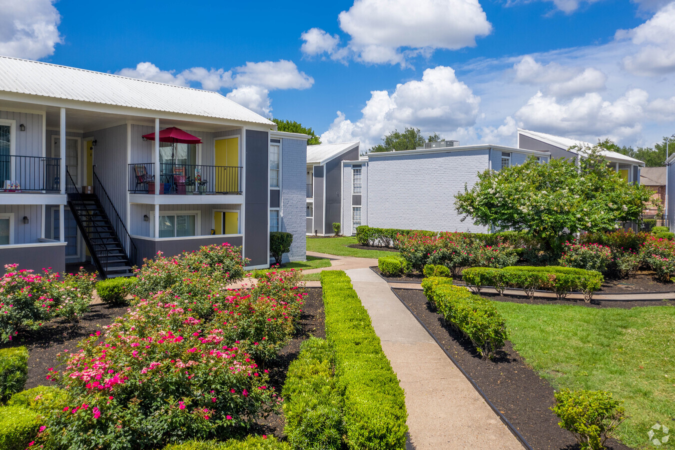
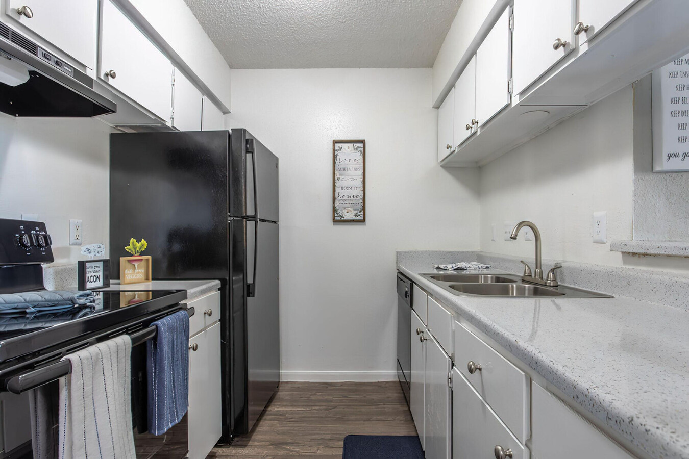
Property Record
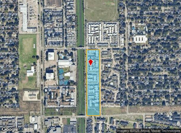
10402 Sandpiper Dr, Houston, TX 77096
NEARBY LISTINGS FOR SALE OR LEASE
Property Detail
10402 Sandpiper Dr
1044130000001
Fondren Sw Braesgate Sec 2
Utilities
RES A & A1 BLK 1 FONDREN SW BRAESGATE SEC 2
AE
Harris
48201C0845M
Texas
2023
10.40 AC
2023
Greater Fondren Southwest
422502
Houston
244,823 SF
Houston-The Woodlands-Sugar Land, TX
DEMOGRAPHICS near 10402 Sandpiper Dr
1 Mile
3 Mile
5 Mile
2024 Total Population
28,531
185,701
495,344
2029 Population
29,154
190,244
513,191
Pop Growth 2024-2029
+ 2.18%
+ 2.45%
+ 3.60%
Average Age
36
36
36
2024 Total Households
10,666
66,057
183,661
HH Growth 2024-2029
+ 2.04%
+ 2.37%
+ 3.52%
Median Household Inc
$43,782
$46,838
$46,053
Avg Household Size
2.60
2.70
2.60
2024 Avg HH Vehicles
1.00
2.00
2.00
Median Home Value
$285,498
$250,931
$234,157
Median Year Built
1974
1974
1978
Nearby Places
- Restaurants
- Banks
- Shops
- Fitness
- Groceries
PUBLIC TRANSPORTATION
AIRPORT
William P Hobby
DRIVE
WALK
Distance
William P Hobby
33 min
18.5 mi
George Bush Intcntl/Houston
DRIVE
WALK
Distance
George Bush Intcntl/Houston
45 min
33.6 mi
Freight Ports
Port of Houston
DRIVE
WALK
Distance
Port of Houston
30 min
18.8 mi
Nearby Properties
Address
Land Use
TOTAL SIZE
Lot Size
Zoning
Address
Land Use
TOTAL SIZE
Lot Size
Zoning
777,791 SF
47.90 AC
Address
Land Use
TOTAL SIZE
Lot Size
Zoning
1,202,191 SF
39.08 AC
Address
Land Use
TOTAL SIZE
Lot Size
Zoning
544,698 SF
15.66 AC
Address
Land Use
TOTAL SIZE
Lot Size
Zoning
188,178 SF
18.49 AC
Address
Land Use
TOTAL SIZE
Lot Size
Zoning
769,005 SF
20.46 AC
Address
Land Use
TOTAL SIZE
Lot Size
Zoning
297,620 SF
11.01 AC
Address
Land Use
TOTAL SIZE
Lot Size
Zoning
414,014 SF
7.77 AC
Address
Land Use
TOTAL SIZE
Lot Size
Zoning
623,343 SF
22.89 AC
Address
Land Use
TOTAL SIZE
Lot Size
Zoning
431,227 SF
15.51 AC
Address
Land Use
TOTAL SIZE
Lot Size
Zoning
456,076 SF
19.09 AC
Address
Land Use
TOTAL SIZE
Lot Size
Zoning
434,744 SF
16.74 AC
Address
Land Use
TOTAL SIZE
Lot Size
Zoning
391,473 SF
17.11 AC
Address
Land Use
TOTAL SIZE
Lot Size
Zoning
361,496 SF
15.95 AC
Address
Land Use
TOTAL SIZE
Lot Size
Zoning
362,942 SF
16.30 AC
Address
Land Use
TOTAL SIZE
Lot Size
Zoning
341,127 SF
10 AC
Address
Land Use
TOTAL SIZE
Lot Size
Zoning
349,982 SF
18.44 AC
Address
Land Use
TOTAL SIZE
Lot Size
Zoning
270,254 SF
10 AC
Address
Land Use
TOTAL SIZE
Lot Size
Zoning
196,572 SF
7.16 AC
Address
Land Use
TOTAL SIZE
Lot Size
Zoning
251,610 SF
8.92 AC
Address
Land Use
TOTAL SIZE
Lot Size
Zoning
277,396 SF
14.26 AC
Address
Land Use
TOTAL SIZE
Lot Size
Zoning
328,606 SF
17.68 AC
Address
Land Use
TOTAL SIZE
Lot Size
Zoning
241,418 SF
19.07 AC
Address
Land Use
TOTAL SIZE
Lot Size
Zoning
175,500 SF
13.99 AC
Address
Land Use
TOTAL SIZE
Lot Size
Zoning
218,744 SF
9.52 AC
Address
Land Use
TOTAL SIZE
Lot Size
Zoning
316,565 SF
12.50 AC
Address
Land Use
TOTAL SIZE
Lot Size
Zoning
89,524 SF
19.94 AC
Address
Land Use
TOTAL SIZE
Lot Size
Zoning
60,761 SF
4.37 AC
Address
Land Use
TOTAL SIZE
Lot Size
Zoning
249,050 SF
10.09 AC
Address
Land Use
TOTAL SIZE
Lot Size
Zoning
136,724 SF
11.71 AC
Address
Land Use
TOTAL SIZE
Lot Size
Zoning
219,334 SF
2.86 AC
The World's #1 Commercial Real Estate Marketplace
Connect with us
© 2025 CoStar Group
The information above has been obtained from sources believed reliable. While we do not doubt its accuracy we have not verified it and make no guarantee, warranty or representation about it. It is your responsibility to independently confirm its accuracy and completeness. Any projections, opinions, assumptions, or estimates used are for example only and do not represent the current or future performance of the property. The value of this transaction to you depends on tax and other factors which should be evaluated by your tax, financial, and legal advisors. You and your advisors should conduct a careful, independent investigation of the property to determine to your satisfaction the suitability of the property for your needs.