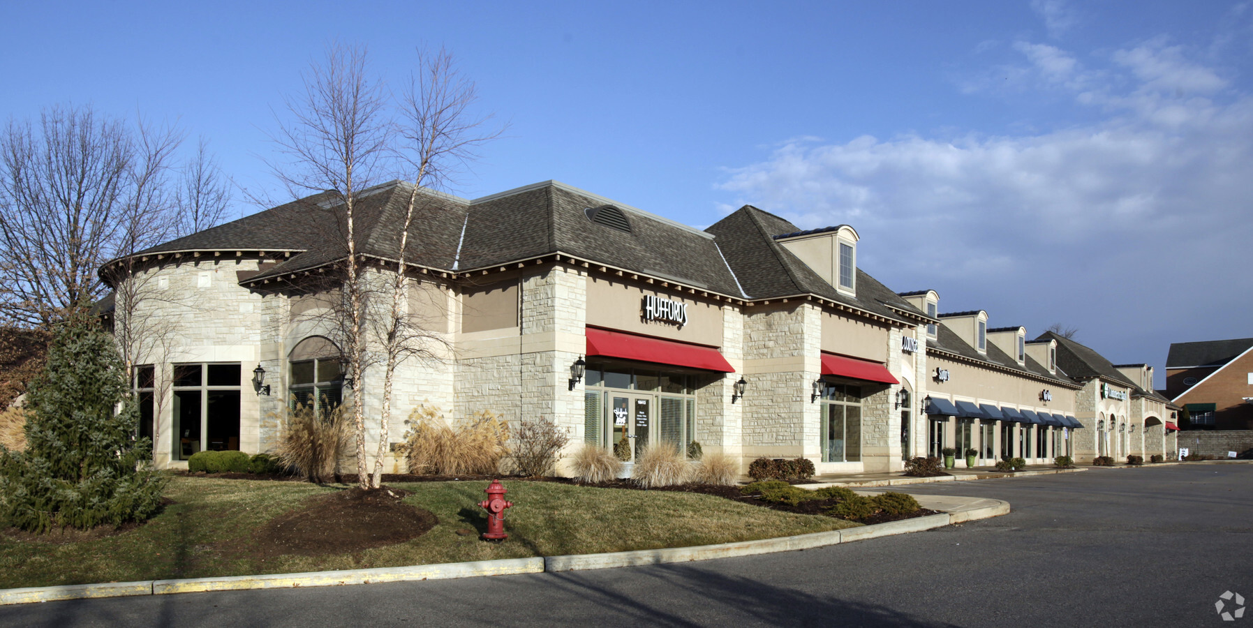
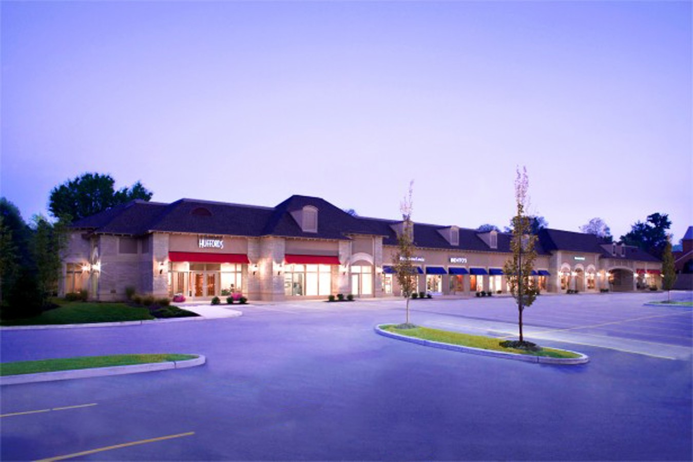
Property Record
10435 Clayton Rd, Saint Louis, MO 63131
Current Lease Availabilities
NEARBY LISTINGS FOR SALE OR LEASE
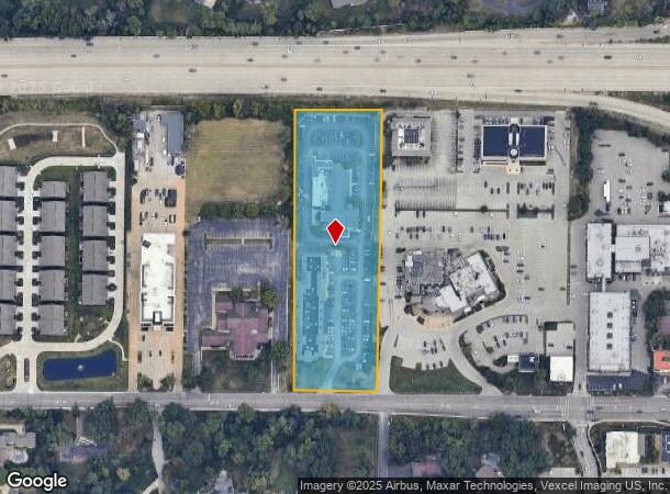
Property Detail
10435 Clayton Rd
St. Louis, MO-IL
Us Surv 2675
20M-43-0252
SURVEY 2675 TWP 45 R 5
Regionalshoppingcenterormallwithanchorstore
St. Louis
X
Missouri
29189C0193K
8,9
2023
4.29 AC
2023
Mid County
215302
St. Louis
56,218 SF
DEMOGRAPHICS near 10435 Clayton Rd
1 Mile
3 Mile
5 Mile
2024 Total Population
3,515
45,840
195,851
2029 Population
3,462
44,846
192,288
Pop Growth 2024-2029
(1.51%)
(2.17%)
(1.82%)
Average Age
43
42
42
2024 Total Households
1,272
17,609
81,953
HH Growth 2024-2029
(1.57%)
(2.23%)
(1.83%)
Median Household Inc
$194,289
$150,097
$102,439
Avg Household Size
2.70
2.60
2.30
2024 Avg HH Vehicles
2.00
2.00
2.00
Median Home Value
$883,333
$648,016
$426,015
Median Year Built
1962
1961
1962
Nearby Places
- Restaurants
- Banks
- Shops
- Fitness
- Groceries
PUBLIC TRANSPORTATION
COMMUTER RAIL
Kirkwood Amtrak Station (Lincoln Service Missouri River Runner - Amtrak, Missouri River Runner - Amtrak)
DRIVE
WALK
Distance
Kirkwood Amtrak Station (Lincoln Service Missouri River Runner - Amtrak, Missouri River Runner - Amtrak)
9 min
4.0 mi
Richmond Heights (Shrewsbury-Lansdowne I-44 Emerson Park - St. Louis MetroLink (MetroLink))
DRIVE
WALK
Distance
Richmond Heights (Shrewsbury-Lansdowne I-44 Emerson Park - St. Louis MetroLink (MetroLink))
8 min
4.5 mi
AIRPORT
St Louis Lambert International
DRIVE
WALK
Distance
St Louis Lambert International
20 min
14.1 mi
Freight Ports
Port Milwaukee
DRIVE
WALK
Distance
Port Milwaukee
434 min
382.0 mi
Nearby Properties
Address
Land Use
TOTAL SIZE
Lot Size
Zoning
Address
Land Use
TOTAL SIZE
Lot Size
Zoning
20,852 SF
48.33 AC
82PH
Address
Land Use
TOTAL SIZE
Lot Size
Zoning
389,075 SF
19.85 AC
83H
Address
Land Use
TOTAL SIZE
Lot Size
Zoning
670,149 SF
24.95 AC
17C-2
Address
Land Use
TOTAL SIZE
Lot Size
Zoning
434,971 SF
24.80 AC
G
Address
Land Use
TOTAL SIZE
Lot Size
Zoning
442,503 SF
3.52 AC
82PH
Address
Land Use
TOTAL SIZE
Lot Size
Zoning
52.13 AC
42PA
Address
Land Use
TOTAL SIZE
Lot Size
Zoning
381,211 SF
64.20 AC
Q
Address
Land Use
TOTAL SIZE
Lot Size
Zoning
600,516 SF
4.27 AC
17C-3
Address
Land Use
TOTAL SIZE
Lot Size
Zoning
34.35 AC
25R-1
Address
Land Use
TOTAL SIZE
Lot Size
Zoning
314,640 SF
4.70 AC
83H
Address
Land Use
TOTAL SIZE
Lot Size
Zoning
1,280,539 SF
151.20 AC
H
Address
Land Use
TOTAL SIZE
Lot Size
Zoning
3.52 AC
82PH
Address
Land Use
TOTAL SIZE
Lot Size
Zoning
337,354 SF
7.40 AC
82CB
Address
Land Use
TOTAL SIZE
Lot Size
Zoning
17,371 SF
25.44 AC
SL1
Address
Land Use
TOTAL SIZE
Lot Size
Zoning
544,556 SF
95.75 AC
H
Address
Land Use
TOTAL SIZE
Lot Size
Zoning
97,479 SF
21.51 AC
82HE
Address
Land Use
TOTAL SIZE
Lot Size
Zoning
33.71 AC
R3
Address
Land Use
TOTAL SIZE
Lot Size
Zoning
43.43 AC
R3
Address
Land Use
TOTAL SIZE
Lot Size
Zoning
31.83 AC
R2
Address
Land Use
TOTAL SIZE
Lot Size
Zoning
228,889 SF
43.21 AC
A
Address
Land Use
TOTAL SIZE
Lot Size
Zoning
56.62 AC
82A
Address
Land Use
TOTAL SIZE
Lot Size
Zoning
3,590 SF
21.42 AC
83H
Address
Land Use
TOTAL SIZE
Lot Size
Zoning
201,879 SF
29.52 AC
82RO
Address
Land Use
TOTAL SIZE
Lot Size
Zoning
233,381 SF
4.45 AC
C-8
Address
Land Use
TOTAL SIZE
Lot Size
Zoning
142,603 SF
1.37 AC
C-8
Address
Land Use
TOTAL SIZE
Lot Size
Zoning
3,578 SF
24.57 AC
R3
Address
Land Use
TOTAL SIZE
Lot Size
Zoning
223,541 SF
6.52 AC
17C-3
Address
Land Use
TOTAL SIZE
Lot Size
Zoning
204,349 SF
19.07 AC
83POP
Address
Land Use
TOTAL SIZE
Lot Size
Zoning
221,611 SF
7.08 AC
25C-1
Address
Land Use
TOTAL SIZE
Lot Size
Zoning
144,773 SF
10.99 AC
17C-5
The World's #1 Commercial Real Estate Marketplace
Connect with us
© 2025 CoStar Group
The information above has been obtained from sources believed reliable. While we do not doubt its accuracy we have not verified it and make no guarantee, warranty or representation about it. It is your responsibility to independently confirm its accuracy and completeness. Any projections, opinions, assumptions, or estimates used are for example only and do not represent the current or future performance of the property. The value of this transaction to you depends on tax and other factors which should be evaluated by your tax, financial, and legal advisors. You and your advisors should conduct a careful, independent investigation of the property to determine to your satisfaction the suitability of the property for your needs.