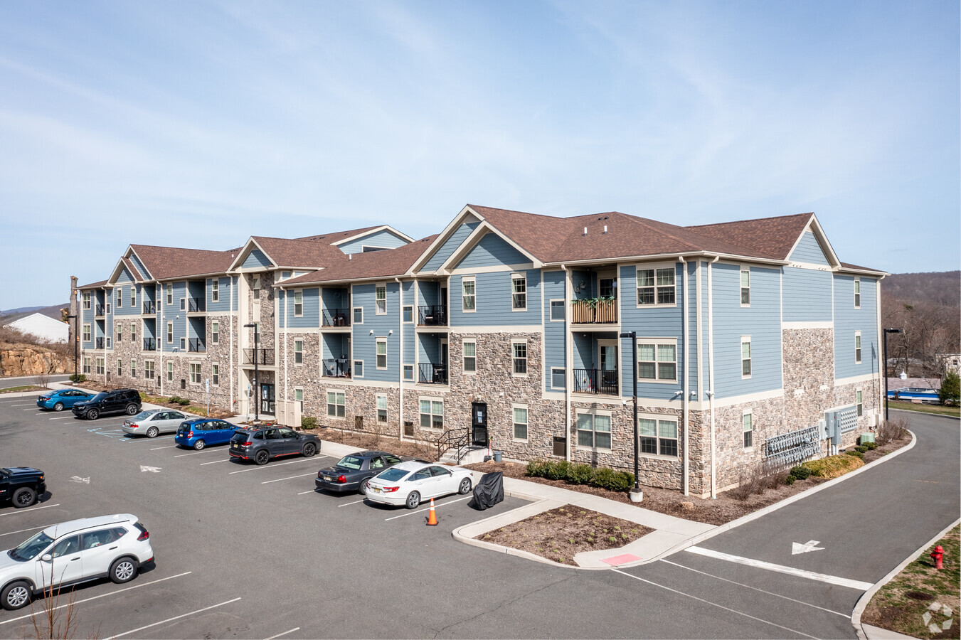
Property Record
1049 Ringwood Ave, Haskell, NJ 07420
NEARBY LISTINGS FOR SALE OR LEASE
-
-
View all Haskell listings for sale on LoopNet.com
Property Detail
1049 Ringwood Ave
New York-Jersey City-White Plains, NY-NJ
1049 Ringwood Avenue
13-00430-0000-00001
FACILITY NAME: URBAN RENEWAL
Apartment
Passaic
X
New Jersey
34031C0143G
1.3
2023
5.70 AC
2024
Outlying Passaic County
236601
Northern New Jersey
DEMOGRAPHICS near 1049 Ringwood Ave
1 Mile
3 Mile
5 Mile
2024 Total Population
5,625
39,103
101,622
2029 Population
5,559
38,754
101,089
Pop Growth 2024-2029
(1.17%)
(0.89%)
(0.52%)
Average Age
44
44
43
2024 Total Households
2,085
15,163
37,705
HH Growth 2024-2029
(1.34%)
(1.03%)
(0.70%)
Median Household Inc
$100,636
$105,487
$119,261
Avg Household Size
2.50
2.50
2.60
2024 Avg HH Vehicles
2.00
2.00
2.00
Median Home Value
$320,478
$371,918
$431,273
Median Year Built
1959
1964
1966
Nearby Places
- Restaurants
- Banks
- Shops
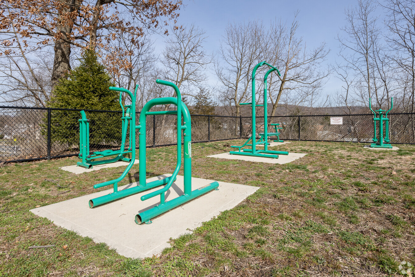
- Fitness
- Groceries
PUBLIC TRANSPORTATION
COMMUTER RAIL
Lincoln Park (Montclair-Boonton Line - NJ Transit Commuter Rail (NJ Transit))
Drive
Walk
Distance
Lincoln Park (Montclair-Boonton Line - NJ Transit Commuter Rail (NJ Transit))
10 min
6.1 mi
Towaco (Montclair-Boonton Line - NJ Transit Commuter Rail (NJ Transit))
Drive
Walk
Distance
Towaco (Montclair-Boonton Line - NJ Transit Commuter Rail (NJ Transit))
14 min
9.5 mi
AIRPORT
Newark Liberty International
Drive
Walk
Distance
Newark Liberty International
36 min
29.9 mi
Laguardia
Drive
Walk
Distance
Laguardia
51 min
35.9 mi
Freight Ports
Port Newark Container Terminal
Drive
Walk
Distance
Port Newark Container Terminal
41 min
29.2 mi
Nearby Properties
Address
Land Use
TOTAL SIZE
Lot Size
Zoning
Address
Land Use
TOTAL SIZE
Lot Size
Zoning
143.16 AC
PUD
Address
Land Use
TOTAL SIZE
Lot Size
Zoning
21.99 AC
H
Address
Land Use
TOTAL SIZE
Lot Size
Zoning
10.88 AC
Address
Land Use
TOTAL SIZE
Lot Size
Zoning
264080
44.44 AC
HB
Address
Land Use
TOTAL SIZE
Lot Size
Zoning
18.76 AC
C-3
Address
Land Use
TOTAL SIZE
Lot Size
Zoning
32.21 AC
R-15
Address
Land Use
TOTAL SIZE
Lot Size
Zoning
5.01 AC
IP
Address
Land Use
TOTAL SIZE
Lot Size
Zoning
231.26 AC
PRC
Address
Land Use
TOTAL SIZE
Lot Size
Zoning
334755
107.89 AC
Address
Land Use
TOTAL SIZE
Lot Size
Zoning
14.04 AC
B2
Address
Land Use
TOTAL SIZE
Lot Size
Zoning
8.07 AC
IP
Address
Land Use
TOTAL SIZE
Lot Size
Zoning
49925
4.08 AC
R-4
Address
Land Use
TOTAL SIZE
Lot Size
Zoning
41.71 AC
C-4
Address
Land Use
TOTAL SIZE
Lot Size
Zoning
25064
14.53 AC
HB
Address
Land Use
TOTAL SIZE
Lot Size
Zoning
131306
14.40 AC
HB
Address
Land Use
TOTAL SIZE
Lot Size
Zoning
7.58 AC
R-4
Address
Land Use
TOTAL SIZE
Lot Size
Zoning
9.08 AC
H-C
Address
Land Use
TOTAL SIZE
Lot Size
Zoning
9.28 AC
R-11
Address
Land Use
TOTAL SIZE
Lot Size
Zoning
103603
12.12 AC
LI
Address
Land Use
TOTAL SIZE
Lot Size
Zoning
Address
Land Use
TOTAL SIZE
Lot Size
Zoning
6.98 AC
IP
Address
Land Use
TOTAL SIZE
Lot Size
Zoning
12.24 AC
H-C
Address
Land Use
TOTAL SIZE
Lot Size
Zoning
109848
14.01 AC
HB
Address
Land Use
TOTAL SIZE
Lot Size
Zoning
9.13 AC
R-G
Address
Land Use
TOTAL SIZE
Lot Size
Zoning
6 AC
IP
Address
Land Use
TOTAL SIZE
Lot Size
Zoning
6.30 AC
I-2
Address
Land Use
TOTAL SIZE
Lot Size
Zoning
8.87 AC
RA1
Address
Land Use
TOTAL SIZE
Lot Size
Zoning
8978
7.04 AC
R-4
Address
Land Use
TOTAL SIZE
Lot Size
Zoning
2372
5 AC
IP
Address
Land Use
TOTAL SIZE
Lot Size
Zoning
634
14.76 AC
H
Start a new search to find other properties for sale or lease
Connect with us
© 2024 CoStar Group
The information above has been obtained from sources believed reliable. While we do not doubt its accuracy we have not verified it and make no guarantee, warranty or representation about it. It is your responsibility to independently confirm its accuracy and completeness. Any projections, opinions, assumptions, or estimates used are for example only and do not represent the current or future performance of the property. The value of this transaction to you depends on tax and other factors which should be evaluated by your tax, financial, and legal advisors. You and your advisors should conduct a careful, independent investigation of the property to determine to your satisfaction the suitability of the property for your needs.