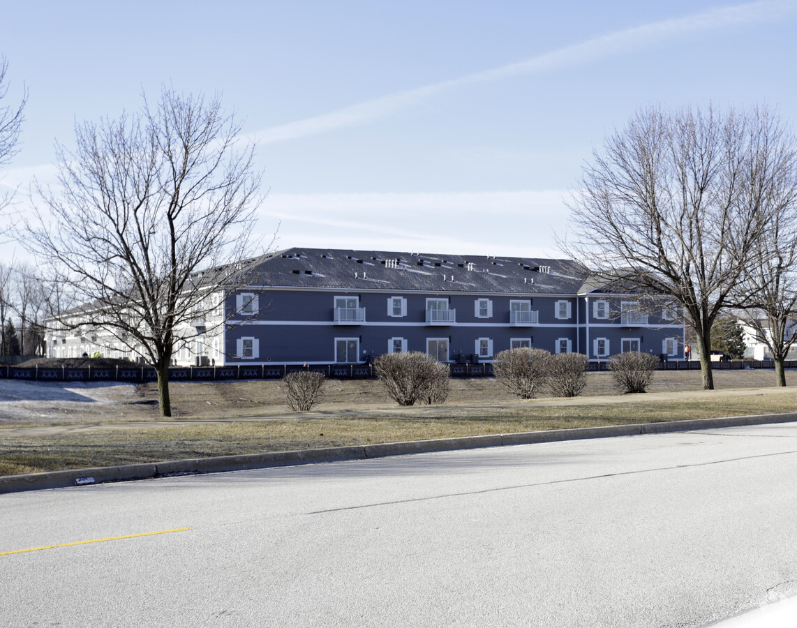
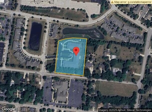
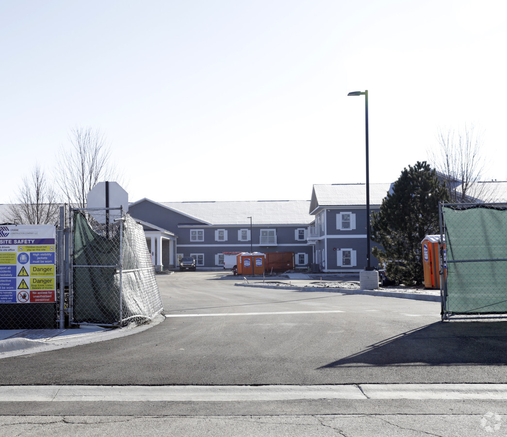
Property Record
1050 Freemont St, Yorkville, IL 60560
NEARBY LISTINGS FOR SALE OR LEASE
-
-
View all Yorkville listings for sale on LoopNet.com
Property Detail
1050 Freemont St
Chicago-Naperville-Elgin, IL-IN-WI
Anthonys Place Sub
02-28-326-012
LT 1 ANTHONYS PLACE SUB, CITY OF YORKVILLE
Commercialnec
Kendall
X
Illinois
17093C0039H
1
2022
3.18 AC
2023
Outlying Kendall County
890402
Chicago
DEMOGRAPHICS near 1050 Freemont St
1 Mile
3 Mile
5 Mile
2024 Total Population
5,793
26,803
63,772
2029 Population
6,343
29,783
70,541
Pop Growth 2024-2029
+ 9.49%
+ 11.12%
+ 10.61%
Average Age
40
38
37
2024 Total Households
2,201
9,219
21,193
HH Growth 2024-2029
+ 9.50%
+ 11.09%
+ 10.70%
Median Household Inc
$80,357
$99,365
$99,630
Avg Household Size
2.60
2.80
3.00
2024 Avg HH Vehicles
2.00
2.00
2.00
Median Home Value
$279,833
$280,828
$269,319
Median Year Built
1983
2001
2002
Nearby Places
- Restaurants
- Banks
- Shops
- Fitness
- Groceries
PUBLIC TRANSPORTATION
COMMUTER RAIL
Plano Amtrak Station (Carl Sandburg - Amtrak, Illinois Zephyr - Amtrak)
DRIVE
WALK
Distance
Plano Amtrak Station (Carl Sandburg - Amtrak, Illinois Zephyr - Amtrak)
11 min
5.6 mi
Freight Ports
Port Milwaukee
DRIVE
WALK
Distance
Port Milwaukee
152 min
122.3 mi
Nearby Properties
Address
Land Use
TOTAL SIZE
Lot Size
Zoning
Address
Land Use
TOTAL SIZE
Lot Size
Zoning
16.27 AC
Address
Land Use
TOTAL SIZE
Lot Size
Zoning
Address
Land Use
TOTAL SIZE
Lot Size
Zoning
0.80 AC
Address
Land Use
TOTAL SIZE
Lot Size
Zoning
154 SF
7.60 AC
Address
Land Use
TOTAL SIZE
Lot Size
Zoning
13.09 AC
Address
Land Use
TOTAL SIZE
Lot Size
Zoning
64,781 SF
1.62 AC
Address
Land Use
TOTAL SIZE
Lot Size
Zoning
177,481 SF
14.11 AC
Address
Land Use
TOTAL SIZE
Lot Size
Zoning
2,000 SF
4.34 AC
Address
Land Use
TOTAL SIZE
Lot Size
Zoning
Address
Land Use
TOTAL SIZE
Lot Size
Zoning
107,162 SF
10.49 AC
Address
Land Use
TOTAL SIZE
Lot Size
Zoning
3.50 AC
Address
Land Use
TOTAL SIZE
Lot Size
Zoning
1.27 AC
Address
Land Use
TOTAL SIZE
Lot Size
Zoning
27,500 SF
0.88 AC
Address
Land Use
TOTAL SIZE
Lot Size
Zoning
7.06 AC
Address
Land Use
TOTAL SIZE
Lot Size
Zoning
Address
Land Use
TOTAL SIZE
Lot Size
Zoning
5.67 AC
Address
Land Use
TOTAL SIZE
Lot Size
Zoning
Address
Land Use
TOTAL SIZE
Lot Size
Zoning
3.02 AC
Address
Land Use
TOTAL SIZE
Lot Size
Zoning
90,533 SF
7.18 AC
Address
Land Use
TOTAL SIZE
Lot Size
Zoning
Address
Land Use
TOTAL SIZE
Lot Size
Zoning
1.75 AC
Address
Land Use
TOTAL SIZE
Lot Size
Zoning
1.07 AC
Address
Land Use
TOTAL SIZE
Lot Size
Zoning
15.67 AC
Address
Land Use
TOTAL SIZE
Lot Size
Zoning
2.51 AC
Address
Land Use
TOTAL SIZE
Lot Size
Zoning
2.01 AC
Address
Land Use
TOTAL SIZE
Lot Size
Zoning
1,620 SF
1.45 AC
Address
Land Use
TOTAL SIZE
Lot Size
Zoning
39,784 SF
3 AC
Address
Land Use
TOTAL SIZE
Lot Size
Zoning
3.60 AC
Address
Land Use
TOTAL SIZE
Lot Size
Zoning
3,731 SF
1.51 AC
The World's #1 Commercial Real Estate Marketplace
Connect with us
© 2025 CoStar Group
The information above has been obtained from sources believed reliable. While we do not doubt its accuracy we have not verified it and make no guarantee, warranty or representation about it. It is your responsibility to independently confirm its accuracy and completeness. Any projections, opinions, assumptions, or estimates used are for example only and do not represent the current or future performance of the property. The value of this transaction to you depends on tax and other factors which should be evaluated by your tax, financial, and legal advisors. You and your advisors should conduct a careful, independent investigation of the property to determine to your satisfaction the suitability of the property for your needs.