Property Record
10598 Cordgrass Ln, Jacksonville, FL 32258


NEARBY LISTINGS FOR SALE OR LEASE
Property Detail
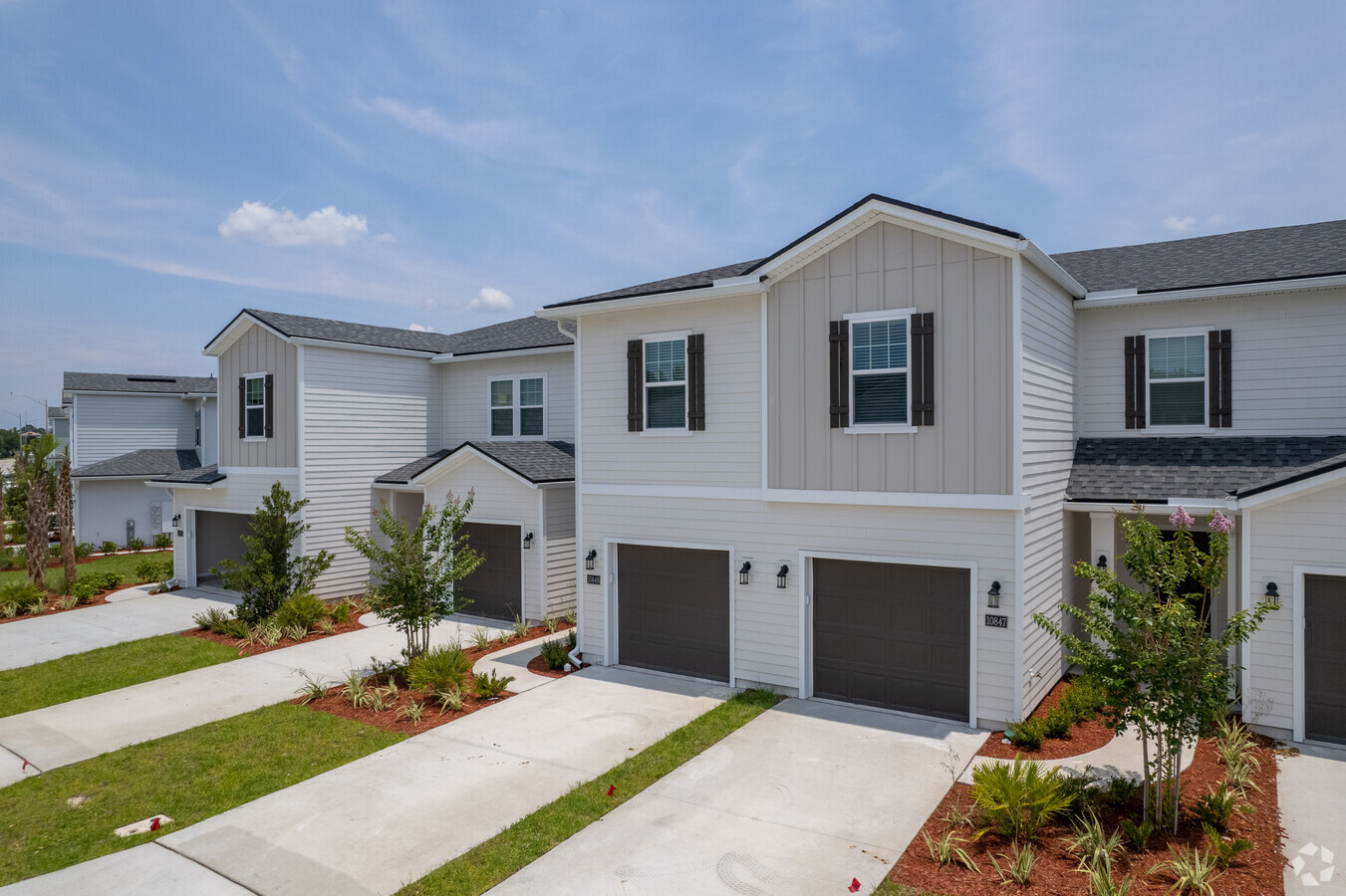
10598 Cordgrass Ln
156664-0040
Section Land
Multifamilydwelling
12-4S-27E 30.44 PT SEC 12 RECD O/R 19502-424 LYING S PBK 80-20, E PBK 80-175
X
Duval
12031C0566H
Florida
2022
30.40 AC
2024
Greenland
014413
Jacksonville (Florida)
445,183 SF
Jacksonville, FL
DEMOGRAPHICS near 10598 Cordgrass Ln
1 Mile
3 Mile
5 Mile
2024 Total Population
4,041
51,265
166,900
2029 Population
4,311
53,648
179,799
Pop Growth 2024-2029
+ 6.68%
+ 4.65%
+ 7.73%
Average Age
41
40
40
2024 Total Households
1,465
21,080
69,722
HH Growth 2024-2029
+ 6.89%
+ 4.73%
+ 7.30%
Median Household Inc
$83,743
$78,853
$78,260
Avg Household Size
2.60
2.40
2.30
2024 Avg HH Vehicles
2.00
2.00
2.00
Median Home Value
$318,847
$293,353
$301,369
Median Year Built
1998
1993
1995
Nearby Places
- Restaurants
- Banks
- Shops
- Fitness
- Groceries
PUBLIC TRANSPORTATION
AIRPORT
Jacksonville International
DRIVE
WALK
Distance
Jacksonville International
43 min
28.4 mi
Freight Ports
Jacksonville Port
DRIVE
WALK
Distance
Jacksonville Port
27 min
16.9 mi
Nearby Properties
Address
Land Use
TOTAL SIZE
Lot Size
Zoning
Address
Land Use
TOTAL SIZE
Lot Size
Zoning
879,352 SF
31.37 AC
PUD
Address
Land Use
TOTAL SIZE
Lot Size
Zoning
1,013,318 SF
131.30 AC
PUD
Address
Land Use
TOTAL SIZE
Lot Size
Zoning
723,629 SF
18.30 AC
PUD
Address
Land Use
TOTAL SIZE
Lot Size
Zoning
810,921 SF
58.85 AC
PUD
Address
Land Use
TOTAL SIZE
Lot Size
Zoning
262,781 SF
11.40 AC
PUD
Address
Land Use
TOTAL SIZE
Lot Size
Zoning
250,708 SF
13.52 AC
PUD
Address
Land Use
TOTAL SIZE
Lot Size
Zoning
215,194 SF
58.34 AC
PUD
Address
Land Use
TOTAL SIZE
Lot Size
Zoning
358,537 SF
29.16 AC
RMD-C
Address
Land Use
TOTAL SIZE
Lot Size
Zoning
367,197 SF
42.36 AC
RMD-B
Address
Land Use
TOTAL SIZE
Lot Size
Zoning
276,262 SF
10.01 AC
PUD
Address
Land Use
TOTAL SIZE
Lot Size
Zoning
365,629 SF
23.23 AC
RMD-D
Address
Land Use
TOTAL SIZE
Lot Size
Zoning
571,101 SF
17.76 AC
PUD
Address
Land Use
TOTAL SIZE
Lot Size
Zoning
273,616 SF
34.49 AC
RMD-B
Address
Land Use
TOTAL SIZE
Lot Size
Zoning
348,919 SF
18.08 AC
RMD-D
Address
Land Use
TOTAL SIZE
Lot Size
Zoning
330,037 SF
28.33 AC
RMD-C
Address
Land Use
TOTAL SIZE
Lot Size
Zoning
237,625 SF
29.34 AC
RMD-B
Address
Land Use
TOTAL SIZE
Lot Size
Zoning
310,983 SF
16.16 AC
RMD-C
Address
Land Use
TOTAL SIZE
Lot Size
Zoning
250,507 SF
26.01 AC
PUD
Address
Land Use
TOTAL SIZE
Lot Size
Zoning
484,938 SF
12.25 AC
PUD
Address
Land Use
TOTAL SIZE
Lot Size
Zoning
265,806 SF
29.84 AC
RMD-B
Address
Land Use
TOTAL SIZE
Lot Size
Zoning
279,438 SF
20.25 AC
RMD-B
Address
Land Use
TOTAL SIZE
Lot Size
Zoning
387,821 SF
32.10 AC
IBP
Address
Land Use
TOTAL SIZE
Lot Size
Zoning
119,560 SF
22.04 AC
PUD
Address
Land Use
TOTAL SIZE
Lot Size
Zoning
148,931 SF
16.93 AC
RMD-D
Address
Land Use
TOTAL SIZE
Lot Size
Zoning
330,139 SF
73.17 AC
PBF-1
Address
Land Use
TOTAL SIZE
Lot Size
Zoning
225,730 SF
42.22 AC
PBF-2
Address
Land Use
TOTAL SIZE
Lot Size
Zoning
304,277 SF
25.03 AC
CCG-2
Address
Land Use
TOTAL SIZE
Lot Size
Zoning
354,503 SF
22.37 AC
PUD
Address
Land Use
TOTAL SIZE
Lot Size
Zoning
388,745 SF
49.78 AC
PBF-1
The World's #1 Commercial Real Estate Marketplace
Connect with us
© 2025 CoStar Group
The information above has been obtained from sources believed reliable. While we do not doubt its accuracy we have not verified it and make no guarantee, warranty or representation about it. It is your responsibility to independently confirm its accuracy and completeness. Any projections, opinions, assumptions, or estimates used are for example only and do not represent the current or future performance of the property. The value of this transaction to you depends on tax and other factors which should be evaluated by your tax, financial, and legal advisors. You and your advisors should conduct a careful, independent investigation of the property to determine to your satisfaction the suitability of the property for your needs.