Property Record
10673 Lee Hwy, Mc Donald, TN 37353

NEARBY LISTINGS FOR SALE OR LEASE
-
-
View all Mc Donald listings for lease on LoopNet.com
Property Detail
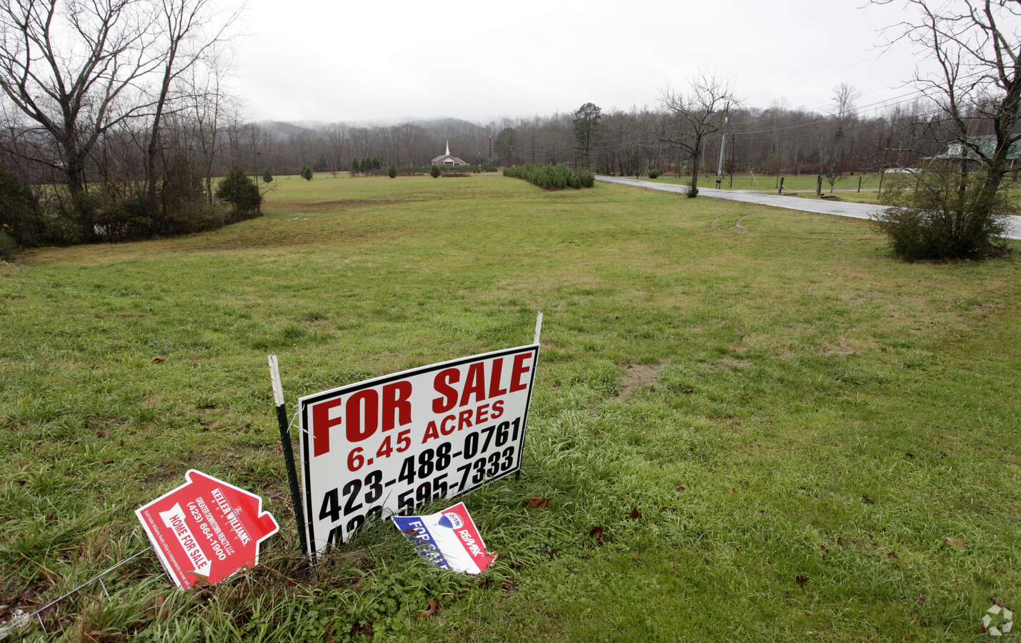
10673 Lee Hwy
133-003
J A Hunter Lands
Officebuilding
WHITE OAK VALLEY CIRCLE OUT OF 133 003 FOR 2013
X
Hamilton
47065C0384G
Tennessee
2024
6.20 AC
2024
Outlying Hamilton County
011302
Chattanooga
16,510 SF
Chattanooga, TN-GA
DEMOGRAPHICS near 10673 Lee Hwy
1 Mile
3 Mile
5 Mile
2024 Total Population
541
9,563
33,919
2029 Population
584
10,258
36,095
Pop Growth 2024-2029
+ 7.95%
+ 7.27%
+ 6.42%
Average Age
40
42
41
2024 Total Households
183
3,713
12,522
HH Growth 2024-2029
+ 8.20%
+ 7.35%
+ 6.57%
Median Household Inc
$113,068
$73,118
$86,597
Avg Household Size
2.70
2.50
2.60
2024 Avg HH Vehicles
3.00
2.00
2.00
Median Home Value
$330,882
$299,634
$294,640
Median Year Built
1999
2000
2001
Nearby Places
- Restaurants
- Banks
- Shops
- Fitness
- Groceries
PUBLIC TRANSPORTATION
AIRPORT
Lovell Field
DRIVE
WALK
Distance
Lovell Field
24 min
14.3 mi
Freight Ports
Georgia Ports - Savannah
DRIVE
WALK
Distance
Georgia Ports - Savannah
417 min
364.0 mi
SALE & LEASE HISTORY
LISTING DATE
SALE/LEASE

Sep 25, 2016
For Lease
Nearby Properties
Address
Land Use
TOTAL SIZE
Lot Size
Zoning
Address
Land Use
TOTAL SIZE
Lot Size
Zoning
337,464 SF
21.82 AC
A
Address
Land Use
TOTAL SIZE
Lot Size
Zoning
206,717 SF
27.21 AC
C2
Address
Land Use
TOTAL SIZE
Lot Size
Zoning
79,101 SF
8.53 AC
C2
Address
Land Use
TOTAL SIZE
Lot Size
Zoning
48,720 SF
14.12 AC
Address
Land Use
TOTAL SIZE
Lot Size
Zoning
1,344 SF
62.98 AC
Address
Land Use
TOTAL SIZE
Lot Size
Zoning
97,487 SF
3.65 AC
C2
Address
Land Use
TOTAL SIZE
Lot Size
Zoning
81,723 SF
12.27 AC
C2
Address
Land Use
TOTAL SIZE
Lot Size
Zoning
89,217 SF
11.85 AC
Address
Land Use
TOTAL SIZE
Lot Size
Zoning
59,594 SF
7.61 AC
A
Address
Land Use
TOTAL SIZE
Lot Size
Zoning
102,791 SF
6.65 AC
C2
Address
Land Use
TOTAL SIZE
Lot Size
Zoning
5.02 AC
M2
Address
Land Use
TOTAL SIZE
Lot Size
Zoning
66,737 SF
2.28 AC
C2
Address
Land Use
TOTAL SIZE
Lot Size
Zoning
104,965 SF
5.43 AC
M1
Address
Land Use
TOTAL SIZE
Lot Size
Zoning
46,110 SF
5.43 AC
UR
Address
Land Use
TOTAL SIZE
Lot Size
Zoning
57,024 SF
2.05 AC
C2
Address
Land Use
TOTAL SIZE
Lot Size
Zoning
29,497 SF
52.04 AC
M2
Address
Land Use
TOTAL SIZE
Lot Size
Zoning
59,661 SF
7.31 AC
LB
Address
Land Use
TOTAL SIZE
Lot Size
Zoning
163,760 SF
12.23 AC
M2
Address
Land Use
TOTAL SIZE
Lot Size
Zoning
37,606 SF
2.01 AC
C2
Address
Land Use
TOTAL SIZE
Lot Size
Zoning
14,598 SF
1.51 AC
A
Address
Land Use
TOTAL SIZE
Lot Size
Zoning
17,660 SF
2.03 AC
Address
Land Use
TOTAL SIZE
Lot Size
Zoning
30,984 SF
5.25 AC
Address
Land Use
TOTAL SIZE
Lot Size
Zoning
3,872 SF
4.91 AC
C2
Address
Land Use
TOTAL SIZE
Lot Size
Zoning
6,720 SF
1 AC
C2
Address
Land Use
TOTAL SIZE
Lot Size
Zoning
11,445 SF
1.09 AC
C2
Address
Land Use
TOTAL SIZE
Lot Size
Zoning
14,550 SF
1.67 AC
C2
Address
Land Use
TOTAL SIZE
Lot Size
Zoning
13,072 SF
1.26 AC
A
Address
Land Use
TOTAL SIZE
Lot Size
Zoning
40.36 AC
A
Address
Land Use
TOTAL SIZE
Lot Size
Zoning
19,616 SF
1 AC
Address
Land Use
TOTAL SIZE
Lot Size
Zoning
30.60 AC
The World's #1 Commercial Real Estate Marketplace
Connect with us
© 2025 CoStar Group
The information above has been obtained from sources believed reliable. While we do not doubt its accuracy we have not verified it and make no guarantee, warranty or representation about it. It is your responsibility to independently confirm its accuracy and completeness. Any projections, opinions, assumptions, or estimates used are for example only and do not represent the current or future performance of the property. The value of this transaction to you depends on tax and other factors which should be evaluated by your tax, financial, and legal advisors. You and your advisors should conduct a careful, independent investigation of the property to determine to your satisfaction the suitability of the property for your needs.