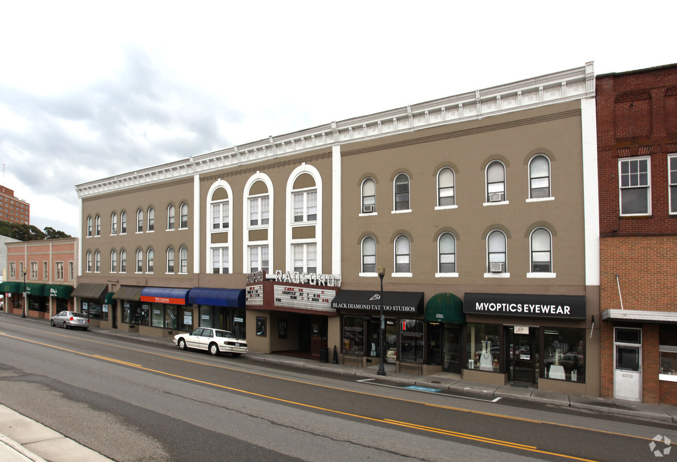
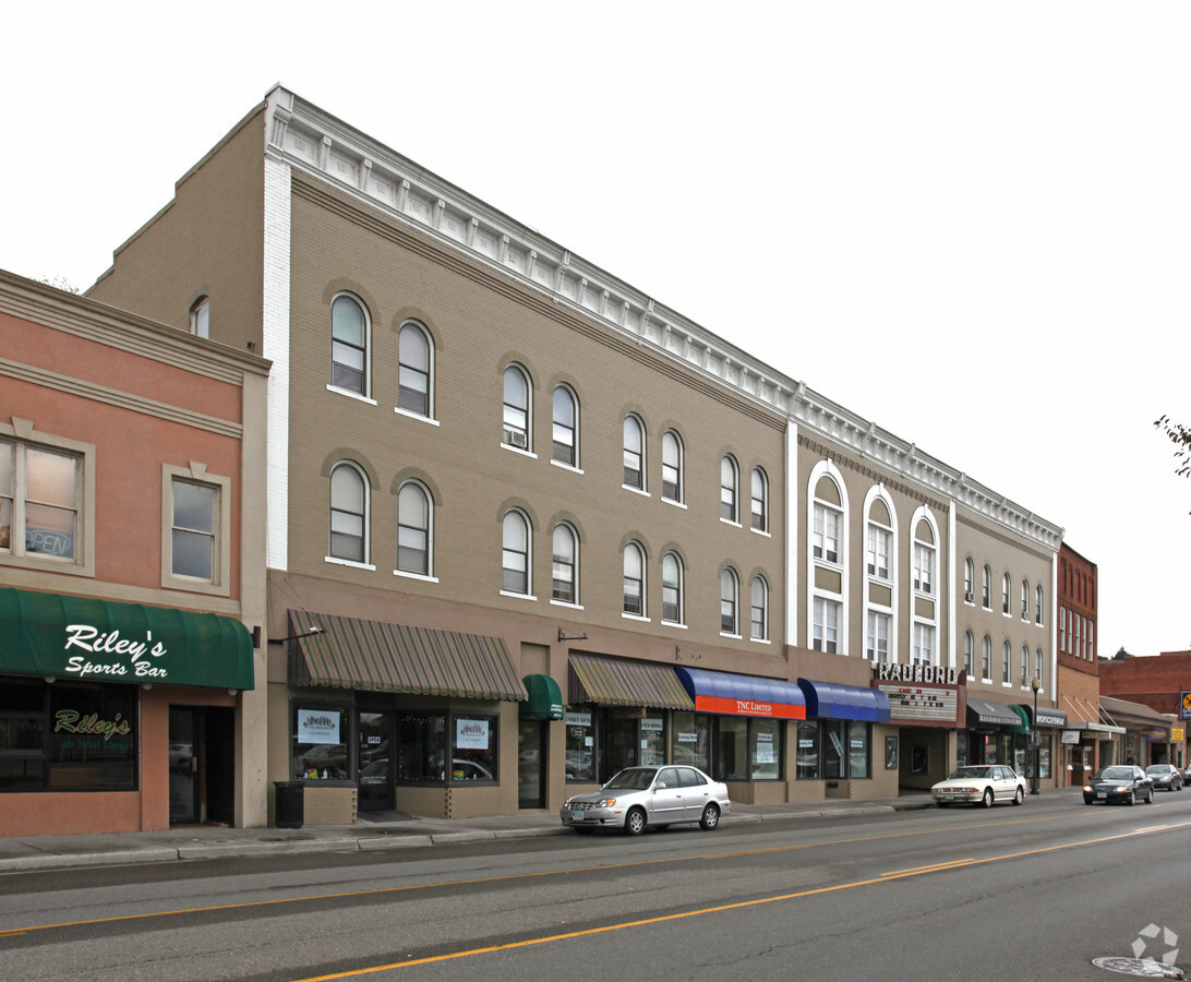
Property Record
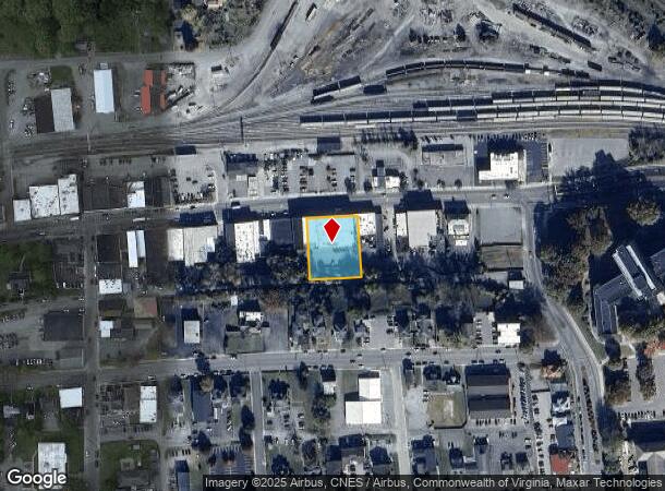
1073 E Main St, Radford, VA 24141
NEARBY LISTINGS FOR SALE OR LEASE
Property Detail
1073 E Main St
5-1-71
HETH MAP S NORWOOD ST 146'
Commercialbuilding
Radford City
X
Virginia
51155C0093H
0.59 AC
2024
Blacksburg & Wytheville
2024
Other Market Areas
010101
Blacksburg-Christiansburg-Radford, VA
DEMOGRAPHICS near 1073 E Main St
1 Mile
3 Mile
5 Mile
2024 Total Population
5,991
19,806
24,539
2029 Population
6,661
21,634
26,307
Pop Growth 2024-2029
+ 11.18%
+ 9.23%
+ 7.20%
Average Age
31
38
38
2024 Total Households
2,535
8,588
10,464
HH Growth 2024-2029
+ 10.81%
+ 8.98%
+ 7.11%
Median Household Inc
$26,201
$47,789
$50,320
Avg Household Size
2.00
2.20
2.20
2024 Avg HH Vehicles
2.00
2.00
2.00
Median Home Value
$257,876
$217,053
$219,123
Median Year Built
1980
1976
1978
Nearby Places
- Restaurants
- Banks
- Shops
- Fitness
- Groceries
SALE & LEASE HISTORY
LISTING DATE
SALE/LEASE

Feb 11, 2020
For Lease
Apr 11, 2017
For Lease
Nearby Properties
Address
Land Use
TOTAL SIZE
Lot Size
Zoning
Address
Land Use
TOTAL SIZE
Lot Size
Zoning
45.01 AC
I1
Address
Land Use
TOTAL SIZE
Lot Size
Zoning
25.04 AC
A1
Address
Land Use
TOTAL SIZE
Lot Size
Zoning
2.75 AC
C1
Address
Land Use
TOTAL SIZE
Lot Size
Zoning
25.18 AC
R3
Address
Land Use
TOTAL SIZE
Lot Size
Zoning
13.84 AC
Address
Land Use
TOTAL SIZE
Lot Size
Zoning
17.95 AC
CM1
Address
Land Use
TOTAL SIZE
Lot Size
Zoning
7.57 AC
Address
Land Use
TOTAL SIZE
Lot Size
Zoning
14.32 AC
CM1
Address
Land Use
TOTAL SIZE
Lot Size
Zoning
8.63 AC
I0
Address
Land Use
TOTAL SIZE
Lot Size
Zoning
0.25 AC
Address
Land Use
TOTAL SIZE
Lot Size
Zoning
13.62 AC
Address
Land Use
TOTAL SIZE
Lot Size
Zoning
183.50 AC
PUD
Address
Land Use
TOTAL SIZE
Lot Size
Zoning
2.96 AC
Address
Land Use
TOTAL SIZE
Lot Size
Zoning
2.44 AC
Address
Land Use
TOTAL SIZE
Lot Size
Zoning
15.33 AC
CM1
Address
Land Use
TOTAL SIZE
Lot Size
Zoning
6.69 AC
Address
Land Use
TOTAL SIZE
Lot Size
Zoning
30.09 AC
Address
Land Use
TOTAL SIZE
Lot Size
Zoning
88.40 AC
I0
Address
Land Use
TOTAL SIZE
Lot Size
Zoning
1.66 AC
Address
Land Use
TOTAL SIZE
Lot Size
Zoning
15.52 AC
CM1
Address
Land Use
TOTAL SIZE
Lot Size
Zoning
5.27 AC
R3
Address
Land Use
TOTAL SIZE
Lot Size
Zoning
50.83 AC
Address
Land Use
TOTAL SIZE
Lot Size
Zoning
3.74 AC
Address
Land Use
TOTAL SIZE
Lot Size
Zoning
1.23 AC
A1
Address
Land Use
TOTAL SIZE
Lot Size
Zoning
7.12 AC
Address
Land Use
TOTAL SIZE
Lot Size
Zoning
7.93 AC
Address
Land Use
TOTAL SIZE
Lot Size
Zoning
3.53 AC
Address
Land Use
TOTAL SIZE
Lot Size
Zoning
3.82 AC
CM1
Address
Land Use
TOTAL SIZE
Lot Size
Zoning
7.07 AC
Address
Land Use
TOTAL SIZE
Lot Size
Zoning
11.40 AC
The World's #1 Commercial Real Estate Marketplace
Connect with us
© 2025 CoStar Group
The information above has been obtained from sources believed reliable. While we do not doubt its accuracy we have not verified it and make no guarantee, warranty or representation about it. It is your responsibility to independently confirm its accuracy and completeness. Any projections, opinions, assumptions, or estimates used are for example only and do not represent the current or future performance of the property. The value of this transaction to you depends on tax and other factors which should be evaluated by your tax, financial, and legal advisors. You and your advisors should conduct a careful, independent investigation of the property to determine to your satisfaction the suitability of the property for your needs.