Property Record
10904 Belleville Rd, Van Buren Township, MI 48111


NEARBY LISTINGS FOR SALE OR LEASE
Property Detail
10904 Belleville Rd
83-064-99-0003-707
16E1A3A1A2A,E1A3B1A1A2A PT OF SE 1/4 SEC 16 T3S R8E DESC AS BEG N 02D 58M 30S E 1527.80 FT AND N 87D 01M 30S W 60.00 FT FROM SE COR SEC 16 TH N 02D 58M 30S E 100.00 FT TH N 87D 01M 30S W 323.00 FT TH N 02D 58M 30S E 180.00 FT TH S 87D 01M 30S E 383.0
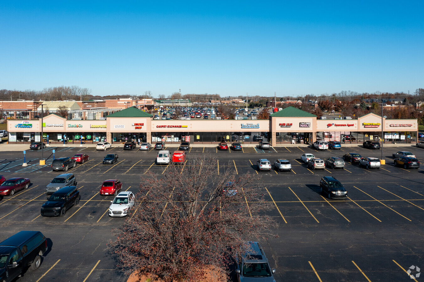
Stripcommercialcenter
Wayne
X
Michigan
26163C0351E
0003
2024
15.38 AC
2024
Airport District
588102
Detroit
89,919 SF
Detroit-Warren-Dearborn, MI
DEMOGRAPHICS near 10904 Belleville Rd
1 Mile
3 Mile
5 Mile
2024 Total Population
4,239
26,357
78,159
2029 Population
4,094
25,253
76,047
Pop Growth 2024-2029
(3.42%)
(4.19%)
(2.70%)
Average Age
41
41
40
2024 Total Households
1,975
11,609
32,605
HH Growth 2024-2029
(3.44%)
(4.19%)
(2.75%)
Median Household Inc
$69,471
$68,247
$69,598
Avg Household Size
2.10
2.20
2.30
2024 Avg HH Vehicles
2.00
2.00
2.00
Median Home Value
$241,935
$237,209
$218,384
Median Year Built
1986
1979
1983
Nearby Places
- Restaurants
- Banks
- Shops
- Fitness
- Groceries
PUBLIC TRANSPORTATION
AIRPORT
Detroit Metro Wayne County
DRIVE
WALK
Distance
Detroit Metro Wayne County
15 min
10.1 mi
Windsor International
DRIVE
WALK
Distance
Windsor International
55 min
37.4 mi
Freight Ports
Port of Toledo
DRIVE
WALK
Distance
Port of Toledo
64 min
51.7 mi
Nearby Properties
Address
Land Use
TOTAL SIZE
Lot Size
Zoning
Address
Land Use
TOTAL SIZE
Lot Size
Zoning
347,606 SF
71.56 AC
M2 GEN
Address
Land Use
TOTAL SIZE
Lot Size
Zoning
461,566 SF
50.13 AC
RM MULT
Address
Land Use
TOTAL SIZE
Lot Size
Zoning
Address
Land Use
TOTAL SIZE
Lot Size
Zoning
484,788 SF
52.40 AC
M1 LIG
Address
Land Use
TOTAL SIZE
Lot Size
Zoning
71.56 AC
M2 GEN
Address
Land Use
TOTAL SIZE
Lot Size
Zoning
357,286 SF
36.79 AC
RM MULT
Address
Land Use
TOTAL SIZE
Lot Size
Zoning
85.27 AC
M1 LIG
Address
Land Use
TOTAL SIZE
Lot Size
Zoning
524,579 SF
42.18 AC
M2 GEN
Address
Land Use
TOTAL SIZE
Lot Size
Zoning
198,549 SF
13.43 AC
RM MULT
Address
Land Use
TOTAL SIZE
Lot Size
Zoning
211,345 SF
18.67 AC
RM MULT
Address
Land Use
TOTAL SIZE
Lot Size
Zoning
135,430 SF
8.33 AC
AP
Address
Land Use
TOTAL SIZE
Lot Size
Zoning
Address
Land Use
TOTAL SIZE
Lot Size
Zoning
437,835 SF
28.75 AC
M1 LIG
Address
Land Use
TOTAL SIZE
Lot Size
Zoning
432.42 AC
M2 GEN
Address
Land Use
TOTAL SIZE
Lot Size
Zoning
161,794 SF
17.73 AC
RM MULT
Address
Land Use
TOTAL SIZE
Lot Size
Zoning
132,528 SF
5.91 AC
C2 EXT
Address
Land Use
TOTAL SIZE
Lot Size
Zoning
965,985 SF
75.26 AC
M2 GEN
Address
Land Use
TOTAL SIZE
Lot Size
Zoning
25,000 SF
7.91 AC
C1GEN
Address
Land Use
TOTAL SIZE
Lot Size
Zoning
Address
Land Use
TOTAL SIZE
Lot Size
Zoning
191,446 SF
22.76 AC
C2EXT
Address
Land Use
TOTAL SIZE
Lot Size
Zoning
154,400 SF
23.96 AC
Address
Land Use
TOTAL SIZE
Lot Size
Zoning
235,648 SF
23.86 AC
LI-2
Address
Land Use
TOTAL SIZE
Lot Size
Zoning
3,177 SF
41.02 AC
Address
Land Use
TOTAL SIZE
Lot Size
Zoning
119,319 SF
10.23 AC
RM MULT
Address
Land Use
TOTAL SIZE
Lot Size
Zoning
74,561 SF
9.63 AC
M1 LIG
Address
Land Use
TOTAL SIZE
Lot Size
Zoning
49,649 SF
11.32 AC
C2 EXT
Address
Land Use
TOTAL SIZE
Lot Size
Zoning
186,956 SF
28.96 AC
RM MULT
Address
Land Use
TOTAL SIZE
Lot Size
Zoning
165,635 SF
M2 GEN
Address
Land Use
TOTAL SIZE
Lot Size
Zoning
102,395 SF
11 AC
RM MULT
Address
Land Use
TOTAL SIZE
Lot Size
Zoning
282,628 SF
22.93 AC
M1 LIG
The World's #1 Commercial Real Estate Marketplace
Connect with us
© 2025 CoStar Group
The information above has been obtained from sources believed reliable. While we do not doubt its accuracy we have not verified it and make no guarantee, warranty or representation about it. It is your responsibility to independently confirm its accuracy and completeness. Any projections, opinions, assumptions, or estimates used are for example only and do not represent the current or future performance of the property. The value of this transaction to you depends on tax and other factors which should be evaluated by your tax, financial, and legal advisors. You and your advisors should conduct a careful, independent investigation of the property to determine to your satisfaction the suitability of the property for your needs.