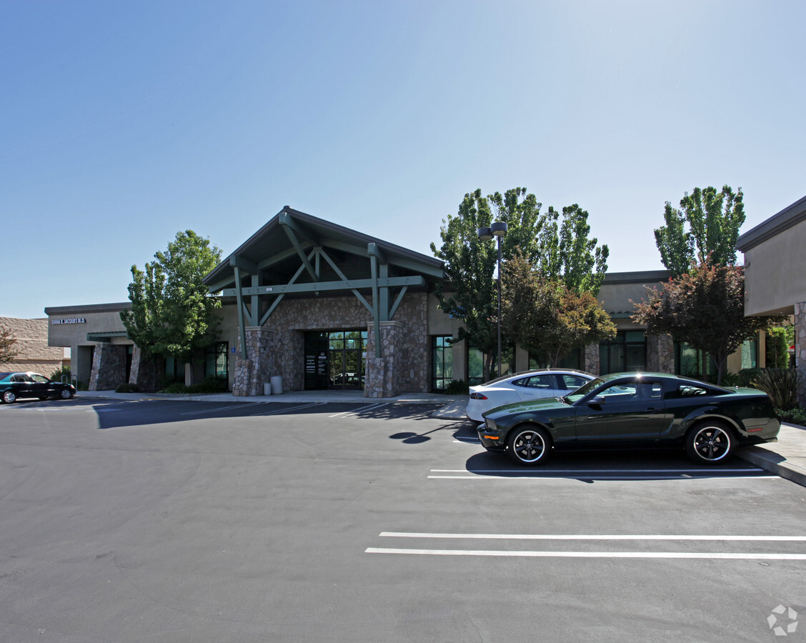
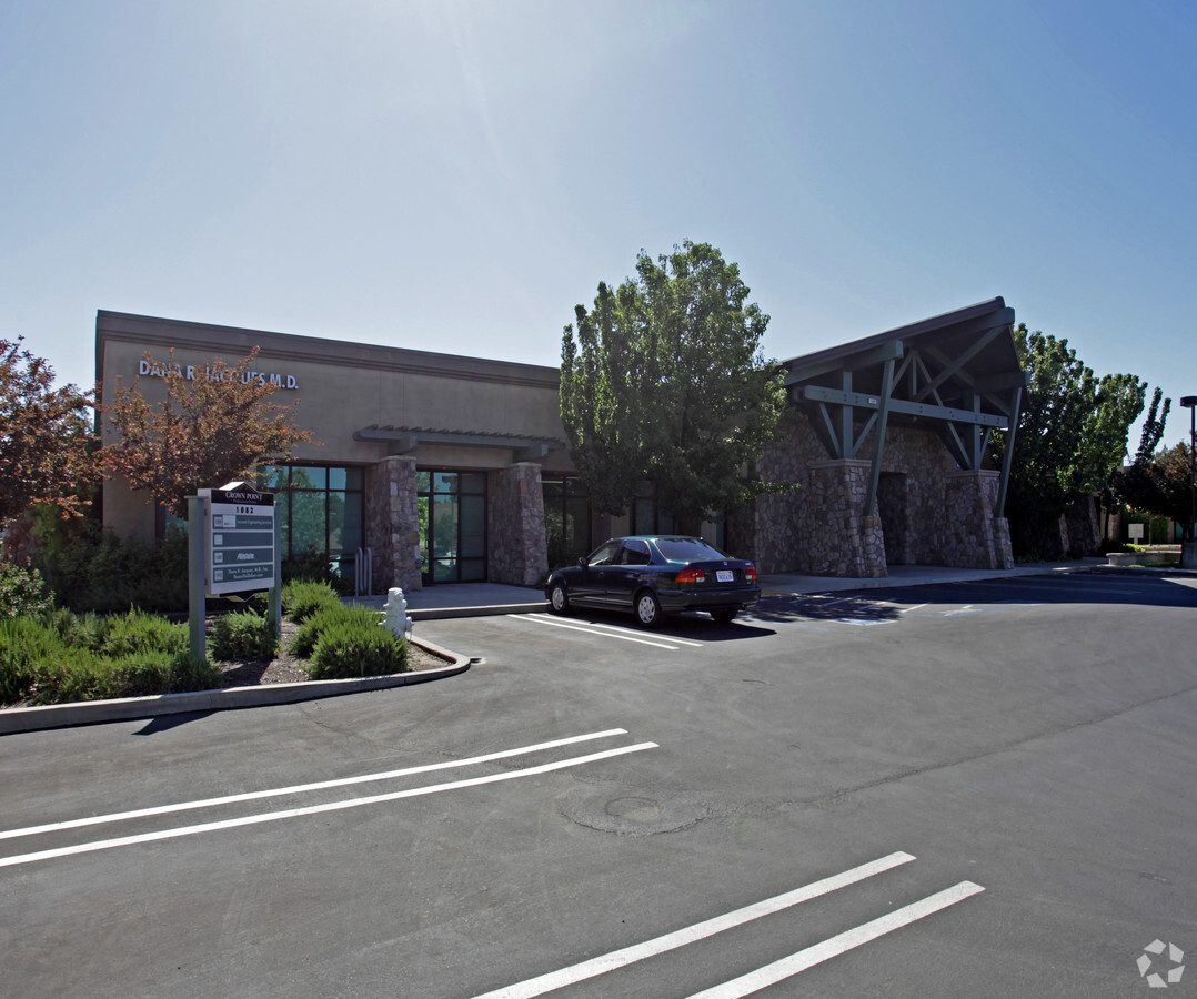
Property Record
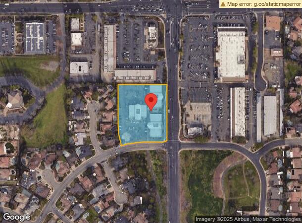
1080 Sunrise Ave, Roseville, CA 95661

NEARBY LISTINGS FOR SALE OR LEASE
Property Detail
1080 Sunrise Ave
Sacramento--Roseville--Arden-Arcade, CA
Crown Pointe No. 1
471-140-040
2.5 AC L A CROWN POINTE #1
Officebuilding
Placer
X
California
06067C0082J
a
2023
2.50 AC
2023
Roseville/Rocklin
020711
Sacramento
25,000 SF
DEMOGRAPHICS near 1080 Sunrise Ave
1 Mile
3 Mile
5 Mile
2024 Total Population
14,358
112,151
309,951
2029 Population
15,217
116,383
320,490
Pop Growth 2024-2029
+ 5.98%
+ 3.77%
+ 3.40%
Average Age
44
41
41
2024 Total Households
5,600
42,745
116,518
HH Growth 2024-2029
+ 6.14%
+ 3.91%
+ 3.44%
Median Household Inc
$75,652
$84,884
$90,320
Avg Household Size
2.40
2.60
2.60
2024 Avg HH Vehicles
2.00
2.00
2.00
Median Home Value
$522,663
$461,342
$487,302
Median Year Built
1979
1979
1984
Nearby Places
- Restaurants
- Banks
- Shops
- Fitness
- Groceries
PUBLIC TRANSPORTATION
COMMUTER RAIL
Roseville (California Zephyr - Amtrak, Capitol Corridor - Amtrak)
DRIVE
WALK
Distance
Roseville (California Zephyr - Amtrak, Capitol Corridor - Amtrak)
9 min
3.4 mi
Rocklin Amtrak Station (Capitol Corridor - Amtrak)
DRIVE
WALK
Distance
Rocklin Amtrak Station (Capitol Corridor - Amtrak)
10 min
5.3 mi
AIRPORT
Sacramento International
DRIVE
WALK
Distance
Sacramento International
34 min
24.3 mi
Freight Ports
Port of Stockton
DRIVE
WALK
Distance
Port of Stockton
76 min
64.5 mi
Nearby Properties
Address
Land Use
TOTAL SIZE
Lot Size
Zoning
Address
Land Use
TOTAL SIZE
Lot Size
Zoning
877,320 SF
53.20 AC
Address
Land Use
TOTAL SIZE
Lot Size
Zoning
350,573 SF
26.30 AC
Address
Land Use
TOTAL SIZE
Lot Size
Zoning
638,040 SF
38.70 AC
Address
Land Use
TOTAL SIZE
Lot Size
Zoning
277,602 SF
26.49 AC
Address
Land Use
TOTAL SIZE
Lot Size
Zoning
210,380 SF
14.26 AC
Address
Land Use
TOTAL SIZE
Lot Size
Zoning
325,462 SF
29.50 AC
Address
Land Use
TOTAL SIZE
Lot Size
Zoning
244,077 SF
8.70 AC
Address
Land Use
TOTAL SIZE
Lot Size
Zoning
263,682 SF
14.40 AC
Address
Land Use
TOTAL SIZE
Lot Size
Zoning
120,983 SF
17.60 AC
Address
Land Use
TOTAL SIZE
Lot Size
Zoning
159,069 SF
6.09 AC
Address
Land Use
TOTAL SIZE
Lot Size
Zoning
78,730 SF
8.03 AC
RD20 BP
Address
Land Use
TOTAL SIZE
Lot Size
Zoning
200,928 SF
3.65 AC
Address
Land Use
TOTAL SIZE
Lot Size
Zoning
118,155 SF
3.80 AC
Address
Land Use
TOTAL SIZE
Lot Size
Zoning
128,480 SF
7.95 AC
RD30 BP
Address
Land Use
TOTAL SIZE
Lot Size
Zoning
110,791 SF
7.50 AC
Address
Land Use
TOTAL SIZE
Lot Size
Zoning
139,000 SF
9.30 AC
Address
Land Use
TOTAL SIZE
Lot Size
Zoning
101,050 SF
8.34 AC
Address
Land Use
TOTAL SIZE
Lot Size
Zoning
101,964 SF
7.70 AC
Address
Land Use
TOTAL SIZE
Lot Size
Zoning
119,417 SF
11 AC
Address
Land Use
TOTAL SIZE
Lot Size
Zoning
110,744 SF
6.70 AC
Address
Land Use
TOTAL SIZE
Lot Size
Zoning
103,448 SF
7.50 AC
Address
Land Use
TOTAL SIZE
Lot Size
Zoning
148,663 SF
13.19 AC
SPA
Address
Land Use
TOTAL SIZE
Lot Size
Zoning
98,508 SF
5.33 AC
RD20
Address
Land Use
TOTAL SIZE
Lot Size
Zoning
109,098 SF
5.50 AC
Address
Land Use
TOTAL SIZE
Lot Size
Zoning
75,226 SF
3.50 AC
Address
Land Use
TOTAL SIZE
Lot Size
Zoning
96,522 SF
19.90 AC
FBX
Address
Land Use
TOTAL SIZE
Lot Size
Zoning
162,401 SF
5.29 AC
Address
Land Use
TOTAL SIZE
Lot Size
Zoning
97,278 SF
4.60 AC
Address
Land Use
TOTAL SIZE
Lot Size
Zoning
111,418 SF
10.90 AC
Address
Land Use
TOTAL SIZE
Lot Size
Zoning
111,185 SF
8.10 AC
The World's #1 Commercial Real Estate Marketplace
Connect with us
© 2025 CoStar Group
The information above has been obtained from sources believed reliable. While we do not doubt its accuracy we have not verified it and make no guarantee, warranty or representation about it. It is your responsibility to independently confirm its accuracy and completeness. Any projections, opinions, assumptions, or estimates used are for example only and do not represent the current or future performance of the property. The value of this transaction to you depends on tax and other factors which should be evaluated by your tax, financial, and legal advisors. You and your advisors should conduct a careful, independent investigation of the property to determine to your satisfaction the suitability of the property for your needs.