Property Record
11 Milton Rd, Rochester, NH 03867

Property Detail
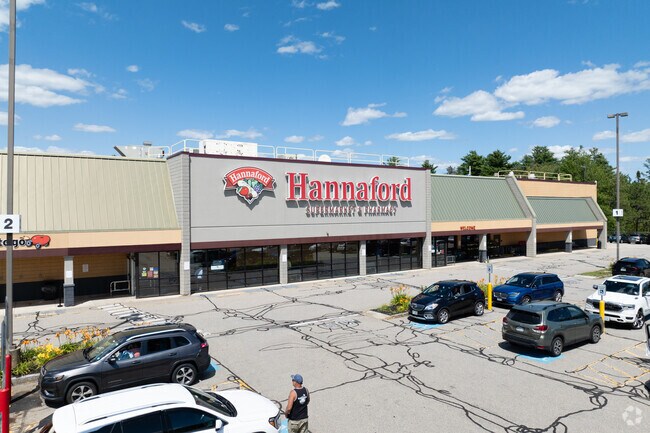
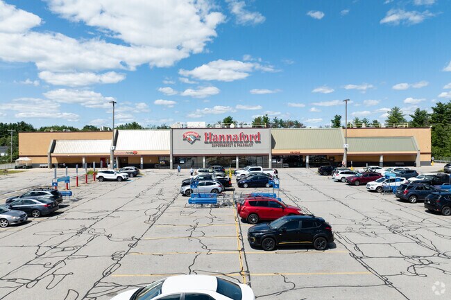
11 Milton Rd
Supermarket
STRAFFORD
HC
New Hampshire
A Areas with a 1% annual chance of flooding and a 26% chance of flooding over the life of a 30-year mortgage.
8.87 AC
2025
Strafford County
2025
Boston
084302
Boston-Cambridge-Newton, MA-NH
65,452 SF
RCHE-000222-000093
NEARBY LISTINGS FOR SALE OR LEASE
DEMOGRAPHICS near 11 Milton Rd
1 mile
3 mile
5 mile
2025 Total Population
3,888
25,845
38,897
2030 Population
3,912
26,255
39,602
Pop Growth 2025-2030
+ 0.62%
+ 1.59%
+ 1.81%
Average Age
42
43
43
2025 Total Households
1,714
10,964
16,330
HH Growth 2025-2030
+ 0.53%
+ 1.57%
+ 1.81%
Median Household Inc
$66,451
$75,153
$78,956
Avg Household Size
2.20
2.30
2.30
2025 Avg HH Vehicles
2.00
2.00
2.00
Median Home Value
$238,934
$293,547
$315,042
Median Year Built
1964
1975
1981
Nearby Places
Map Layers
Map Styles
 Street
 Aerial
Layers
 Traffic
 Biking
Places
Listings with unknown addresses are not visible on the map
- Restaurants
- Banks
- Shops
- Fitness
- Groceries
PUBLIC TRANSPORTATION
AIRPORT
Portsmouth International at Pease
Drive
Walk
Distance
Portsmouth International at Pease
35 min
20.8 mi
Freight Ports
Portland, ME
Drive
Walk
Distance
Portland, ME
71 min
50.0 mi
Nearby Properties
Address
Land Use
TOTAL SIZE
Lot Size
Zoning
Address
Land Use
TOTAL SIZE
Lot Size
Zoning
483,789 SF
37 AC
R2
Address
Land Use
TOTAL SIZE
Lot Size
Zoning
274,144 SF
73.08 AC
GRD
Address
Land Use
TOTAL SIZE
Lot Size
Zoning
219,360 SF
6.23 AC
HSP
Address
Land Use
TOTAL SIZE
Lot Size
Zoning
277,667 SF
45.36 AC
HC
Address
Land Use
TOTAL SIZE
Lot Size
Zoning
207,125 SF
22 AC
R2
Address
Land Use
TOTAL SIZE
Lot Size
Zoning
1,273 SF
29.90 AC
R2
Address
Land Use
TOTAL SIZE
Lot Size
Zoning
224,153 SF
34.36 AC
GRD
Address
Land Use
TOTAL SIZE
Lot Size
Zoning
78,768 SF
10.92 AC
A
Address
Land Use
TOTAL SIZE
Lot Size
Zoning
11,300 SF
263 AC
A
Address
Land Use
TOTAL SIZE
Lot Size
Zoning
86,420 SF
3.30 AC
DTC
Address
Land Use
TOTAL SIZE
Lot Size
Zoning
77,712 SF
10.99 AC
A
Address
Land Use
TOTAL SIZE
Lot Size
Zoning
114,867 SF
17.23 AC
HC
Address
Land Use
TOTAL SIZE
Lot Size
Zoning
59,235 SF
22.08 AC
A
Address
Land Use
TOTAL SIZE
Lot Size
Zoning
236,340 SF
27.68 AC
HC
Address
Land Use
TOTAL SIZE
Lot Size
Zoning
68,535 SF
7.10 AC
R2
Address
Land Use
TOTAL SIZE
Lot Size
Zoning
58,500 SF
11.55 AC
R2
Address
Land Use
TOTAL SIZE
Lot Size
Zoning
111,807 SF
31.93 AC
HC
Address
Land Use
TOTAL SIZE
Lot Size
Zoning
49,146 SF
7.10 AC
R2
Address
Land Use
TOTAL SIZE
Lot Size
Zoning
221,995 SF
35.47 AC
IND
Address
Land Use
TOTAL SIZE
Lot Size
Zoning
13.34 AC
HC
Address
Land Use
TOTAL SIZE
Lot Size
Zoning
84,700 SF
5.76 AC
GRD
Address
Land Use
TOTAL SIZE
Lot Size
Zoning
53,517 SF
30 AC
A
Address
Land Use
TOTAL SIZE
Lot Size
Zoning
59,160 SF
10.44 AC
R1
Address
Land Use
TOTAL SIZE
Lot Size
Zoning
61,063 SF
8.26 AC
R2
Address
Land Use
TOTAL SIZE
Lot Size
Zoning
82,752 SF
9.88 AC
R2
Address
Land Use
TOTAL SIZE
Lot Size
Zoning
51,968 SF
5.40 AC
R2
Address
Land Use
TOTAL SIZE
Lot Size
Zoning
16,444 SF
6.41 AC
GRD
Address
Land Use
TOTAL SIZE
Lot Size
Zoning
14,552 SF
18 AC
R2
Address
Land Use
TOTAL SIZE
Lot Size
Zoning
66,786 SF
2.41 AC
R2
Address
Land Use
TOTAL SIZE
Lot Size
Zoning
2,022 SF
5.01 AC
R2
The World's #1 Commercial Real Estate Marketplace
Connect with us
© 2026 CoStar Group
The information above has been obtained from sources believed reliable. While we do not doubt its accuracy we have not verified it and make no guarantee, warranty or representation about it. It is your responsibility to independently confirm its accuracy and completeness. Any projections, opinions, assumptions, or estimates used are for example only and do not represent the current or future performance of the property. The value of this transaction to you depends on tax and other factors which should be evaluated by your tax, financial, and legal advisors. You and your advisors should conduct a careful, independent investigation of the property to determine to your satisfaction the suitability of the property for your needs.