Property Record
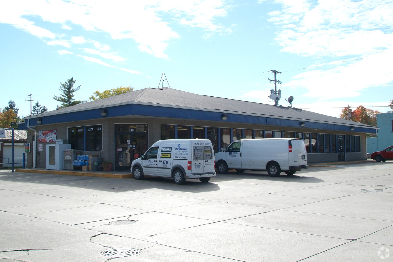
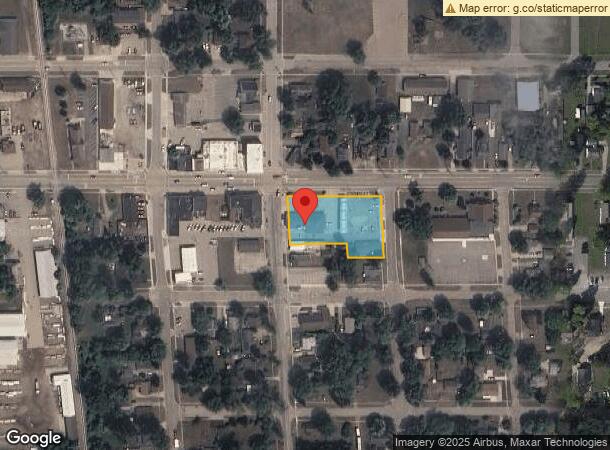
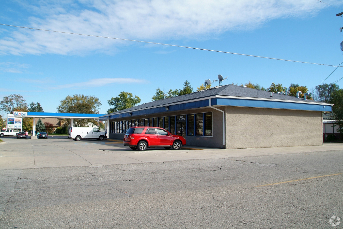
110 E State St, Montrose, MI 48457

NEARBY LISTINGS FOR SALE OR LEASE
-
-
View all Montrose listings for sale on LoopNet.com
Property Detail
110 E State St
Flint, MI
Blk A Millers Addition
60-21-502-036
LOTS 1 THRU 10 BLK A & N 40 FT OF LOTS 11 THRU 14 BLK A & ALL THAT PART OF VACATED ALLEY LYING BETWEEN SAID 5 & 6 BLK A MILLERS ADDITION TO THE VILLAGE OF MONTROSE (01) FR 60-21-502-001 & 002 & 003 & 004 & 005
Commercialnec
Genesee
X
Michigan
26155C0095C
1-14
2024
0.76 AC
2024
Flint
012602
Detroit
6,462 SF
DEMOGRAPHICS near 110 E State St
1 Mile
3 Mile
5 Mile
2024 Total Population
1,975
5,765
13,401
2029 Population
1,906
5,600
13,085
Pop Growth 2024-2029
(3.49%)
(2.86%)
(2.36%)
Average Age
39
41
42
2024 Total Households
793
2,205
5,087
HH Growth 2024-2029
(3.53%)
(2.90%)
(2.42%)
Median Household Inc
$46,547
$59,563
$62,927
Avg Household Size
2.50
2.60
2.60
2024 Avg HH Vehicles
2.00
2.00
2.00
Median Home Value
$133,117
$158,489
$167,195
Median Year Built
1964
1968
1972
Nearby Places
- Restaurants
- Banks
- Shops
- Fitness
- Groceries
PUBLIC TRANSPORTATION
AIRPORT
Bishop International
DRIVE
WALK
Distance
Bishop International
41 min
24.6 mi
MBS International
DRIVE
WALK
Distance
MBS International
53 min
33.5 mi
Freight Ports
Port of Toledo
DRIVE
WALK
Distance
Port of Toledo
154 min
130.6 mi
Nearby Properties
Address
Land Use
TOTAL SIZE
Lot Size
Zoning
Address
Land Use
TOTAL SIZE
Lot Size
Zoning
66,480 SF
9.27 AC
OS-OFFICE/
Address
Land Use
TOTAL SIZE
Lot Size
Zoning
14,790 SF
465.64 AC
R/C RECREA
Address
Land Use
TOTAL SIZE
Lot Size
Zoning
2,368 SF
20.18 AC
MHP - MOBI
Address
Land Use
TOTAL SIZE
Lot Size
Zoning
7,904 SF
161 AC
Address
Land Use
TOTAL SIZE
Lot Size
Zoning
160.40 AC
RF-RESID F
Address
Land Use
TOTAL SIZE
Lot Size
Zoning
38,360 SF
6.24 AC
Address
Land Use
TOTAL SIZE
Lot Size
Zoning
4,864 SF
3.81 AC
MHP - MOBI
Address
Land Use
TOTAL SIZE
Lot Size
Zoning
40,958 SF
3.52 AC
C-1 NBHD C
Address
Land Use
TOTAL SIZE
Lot Size
Zoning
2,400 SF
126.99 AC
MHP - MOBI
Address
Land Use
TOTAL SIZE
Lot Size
Zoning
1,344 SF
164.02 AC
R/C RECREA
Address
Land Use
TOTAL SIZE
Lot Size
Zoning
27,904 SF
32.48 AC
Address
Land Use
TOTAL SIZE
Lot Size
Zoning
24,460 SF
13.47 AC
Address
Land Use
TOTAL SIZE
Lot Size
Zoning
24,448 SF
3.02 AC
Address
Land Use
TOTAL SIZE
Lot Size
Zoning
10,260 SF
1.39 AC
C-2 GENRL
Address
Land Use
TOTAL SIZE
Lot Size
Zoning
29,220 SF
5.30 AC
Address
Land Use
TOTAL SIZE
Lot Size
Zoning
48,710 SF
2.09 AC
Address
Land Use
TOTAL SIZE
Lot Size
Zoning
6,380 SF
0.75 AC
Address
Land Use
TOTAL SIZE
Lot Size
Zoning
76.48 AC
Address
Land Use
TOTAL SIZE
Lot Size
Zoning
2,766 SF
0.98 AC
Address
Land Use
TOTAL SIZE
Lot Size
Zoning
9,100 SF
1.38 AC
C-2 GENRL
Address
Land Use
TOTAL SIZE
Lot Size
Zoning
6,372 SF
3.26 AC
C-2 GENRL
Address
Land Use
TOTAL SIZE
Lot Size
Zoning
25,200 SF
32 AC
I-1 LGHT I
Address
Land Use
TOTAL SIZE
Lot Size
Zoning
4,020 SF
1.28 AC
GENL BUS G
Address
Land Use
TOTAL SIZE
Lot Size
Zoning
83.67 AC
RF-RESID F
Address
Land Use
TOTAL SIZE
Lot Size
Zoning
81 AC
RF-RESID F
Address
Land Use
TOTAL SIZE
Lot Size
Zoning
12,312 SF
1.58 AC
Address
Land Use
TOTAL SIZE
Lot Size
Zoning
10,400 SF
1.65 AC
C-2 GENRL
Address
Land Use
TOTAL SIZE
Lot Size
Zoning
6,569 SF
1-2 HVY IN
Address
Land Use
TOTAL SIZE
Lot Size
Zoning
76.81 AC
The World's #1 Commercial Real Estate Marketplace
Connect with us
© 2025 CoStar Group
The information above has been obtained from sources believed reliable. While we do not doubt its accuracy we have not verified it and make no guarantee, warranty or representation about it. It is your responsibility to independently confirm its accuracy and completeness. Any projections, opinions, assumptions, or estimates used are for example only and do not represent the current or future performance of the property. The value of this transaction to you depends on tax and other factors which should be evaluated by your tax, financial, and legal advisors. You and your advisors should conduct a careful, independent investigation of the property to determine to your satisfaction the suitability of the property for your needs.