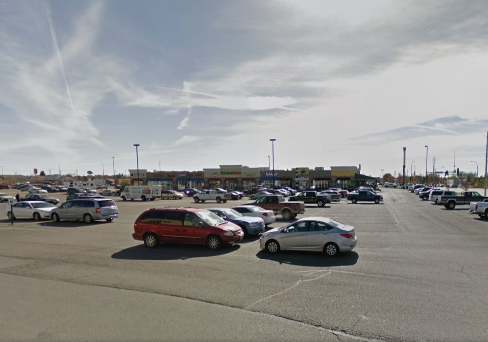
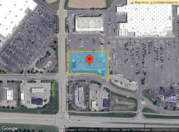
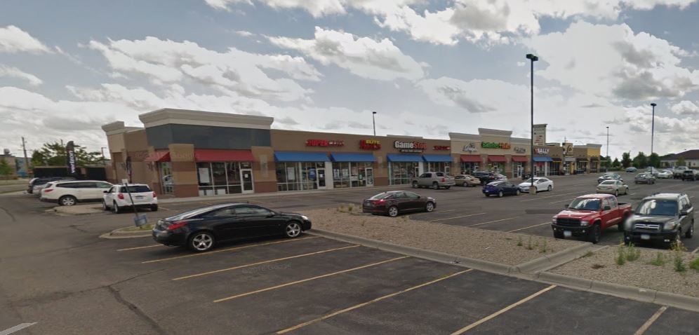
Property Record
1100 W Frontage Rd, Owatonna, MN 55060
NEARBY LISTINGS FOR SALE OR LEASE
Property Detail
1100 W Frontage Rd
Owatonna, MN
Wildung Addition
17-534-0101
BLK 1 LOT 1 EXCEPT N393.35' WILDUNG ADDITION
Commercialnec
Steele
X
Minnesota
27147C0132C
1
2024
2 AC
2024
Minnesota South Area
960400
Other Market Areas
18,720 SF
DEMOGRAPHICS near 1100 W Frontage Rd
1 Mile
3 Mile
5 Mile
2024 Total Population
1,219
23,719
28,329
2029 Population
1,205
23,731
28,340
Pop Growth 2024-2029
(1.15%)
+ 0.05%
+ 0.04%
Average Age
40
40
40
2024 Total Households
541
9,624
11,338
HH Growth 2024-2029
(1.29%)
+ 0.07%
+ 0.05%
Median Household Inc
$45,735
$69,938
$74,335
Avg Household Size
2.10
2.40
2.40
2024 Avg HH Vehicles
2.00
2.00
2.00
Median Home Value
$136,363
$192,207
$207,146
Median Year Built
1972
1973
1975
Nearby Places
- Restaurants
- Banks
- Shops
- Fitness
- Groceries
SALE & LEASE HISTORY
LISTING DATE
SALE/LEASE

Sep 25, 2016
For Lease
Nearby Properties
Address
Land Use
TOTAL SIZE
Lot Size
Zoning
Address
Land Use
TOTAL SIZE
Lot Size
Zoning
107,134 SF
19.48 AC
Address
Land Use
TOTAL SIZE
Lot Size
Zoning
975,108 SF
54.99 AC
Address
Land Use
TOTAL SIZE
Lot Size
Zoning
139,037 SF
20 AC
Address
Land Use
TOTAL SIZE
Lot Size
Zoning
339,400 SF
148.03 AC
Address
Land Use
TOTAL SIZE
Lot Size
Zoning
134,234 SF
17.31 AC
Address
Land Use
TOTAL SIZE
Lot Size
Zoning
184,335 SF
13.81 AC
Address
Land Use
TOTAL SIZE
Lot Size
Zoning
489,600 SF
33.86 AC
Address
Land Use
TOTAL SIZE
Lot Size
Zoning
56,981 SF
18.60 AC
Address
Land Use
TOTAL SIZE
Lot Size
Zoning
46,729 SF
4.88 AC
Address
Land Use
TOTAL SIZE
Lot Size
Zoning
81,489 SF
7.46 AC
Address
Land Use
TOTAL SIZE
Lot Size
Zoning
186,713 SF
64.18 AC
Address
Land Use
TOTAL SIZE
Lot Size
Zoning
270,314 SF
18.82 AC
Address
Land Use
TOTAL SIZE
Lot Size
Zoning
59,195 SF
40 AC
Address
Land Use
TOTAL SIZE
Lot Size
Zoning
56,723 SF
37.39 AC
Address
Land Use
TOTAL SIZE
Lot Size
Zoning
79,370 SF
2.66 AC
Address
Land Use
TOTAL SIZE
Lot Size
Zoning
43,336 SF
46.29 AC
Address
Land Use
TOTAL SIZE
Lot Size
Zoning
52,792 SF
6.82 AC
Address
Land Use
TOTAL SIZE
Lot Size
Zoning
115,815 SF
21.06 AC
Address
Land Use
TOTAL SIZE
Lot Size
Zoning
265,824 SF
18.62 AC
Address
Land Use
TOTAL SIZE
Lot Size
Zoning
164,342 SF
25.21 AC
Address
Land Use
TOTAL SIZE
Lot Size
Zoning
194,250 SF
11.67 AC
Address
Land Use
TOTAL SIZE
Lot Size
Zoning
64,440 SF
27.88 AC
Address
Land Use
TOTAL SIZE
Lot Size
Zoning
Address
Land Use
TOTAL SIZE
Lot Size
Zoning
37,840 SF
45 AC
Address
Land Use
TOTAL SIZE
Lot Size
Zoning
78,650 SF
224.09 AC
Address
Land Use
TOTAL SIZE
Lot Size
Zoning
150,400 SF
10.68 AC
Address
Land Use
TOTAL SIZE
Lot Size
Zoning
178,962 SF
10.63 AC
Address
Land Use
TOTAL SIZE
Lot Size
Zoning
54,395 SF
8.34 AC
Address
Land Use
TOTAL SIZE
Lot Size
Zoning
159,102 SF
15.96 AC
Address
Land Use
TOTAL SIZE
Lot Size
Zoning
14,554 SF
0.25 AC
The World's #1 Commercial Real Estate Marketplace
Connect with us
© 2025 CoStar Group
The information above has been obtained from sources believed reliable. While we do not doubt its accuracy we have not verified it and make no guarantee, warranty or representation about it. It is your responsibility to independently confirm its accuracy and completeness. Any projections, opinions, assumptions, or estimates used are for example only and do not represent the current or future performance of the property. The value of this transaction to you depends on tax and other factors which should be evaluated by your tax, financial, and legal advisors. You and your advisors should conduct a careful, independent investigation of the property to determine to your satisfaction the suitability of the property for your needs.