Property Record
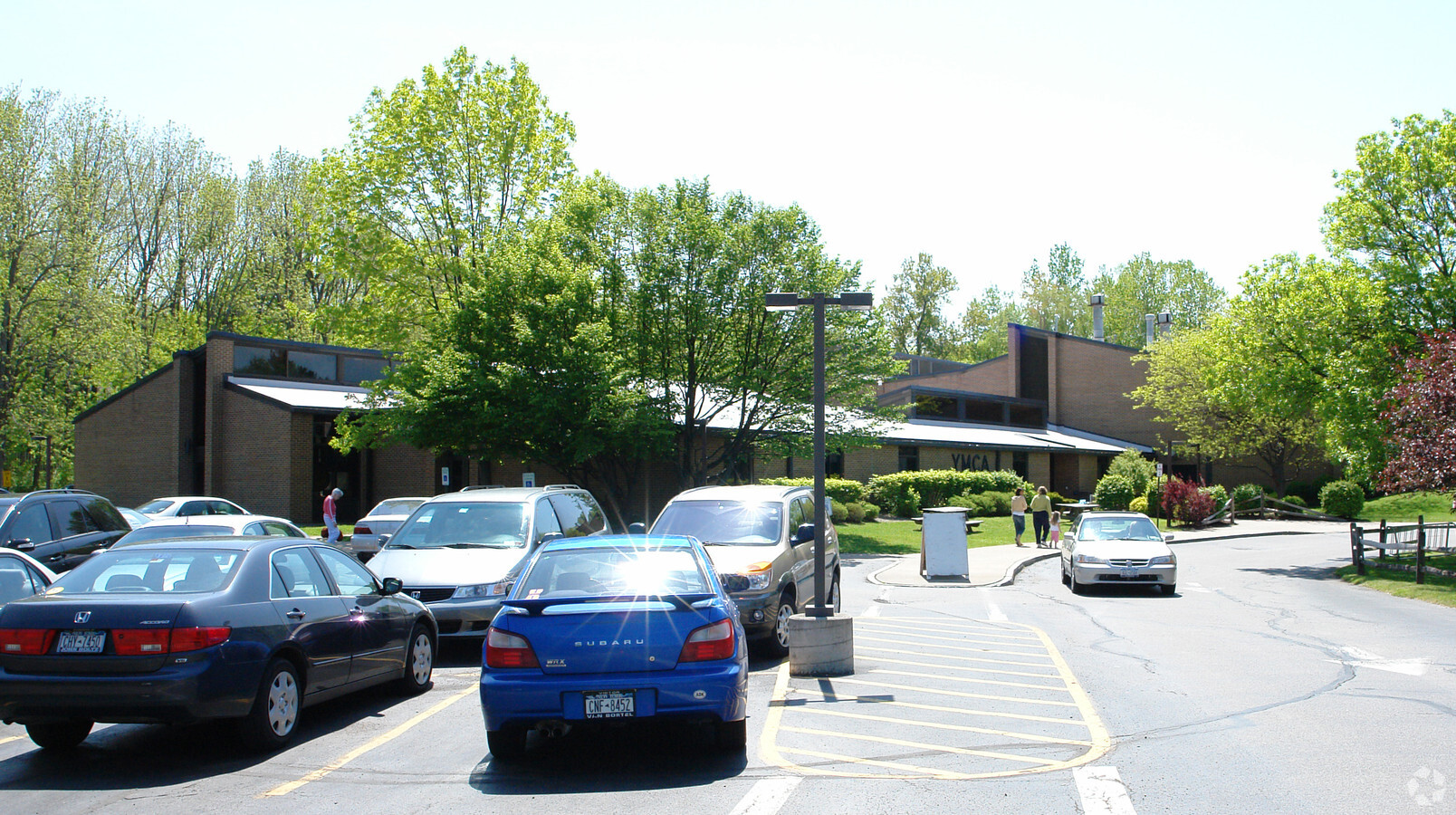
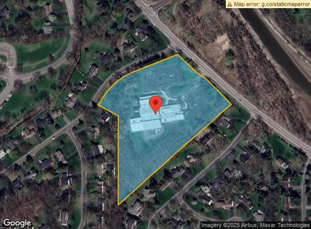
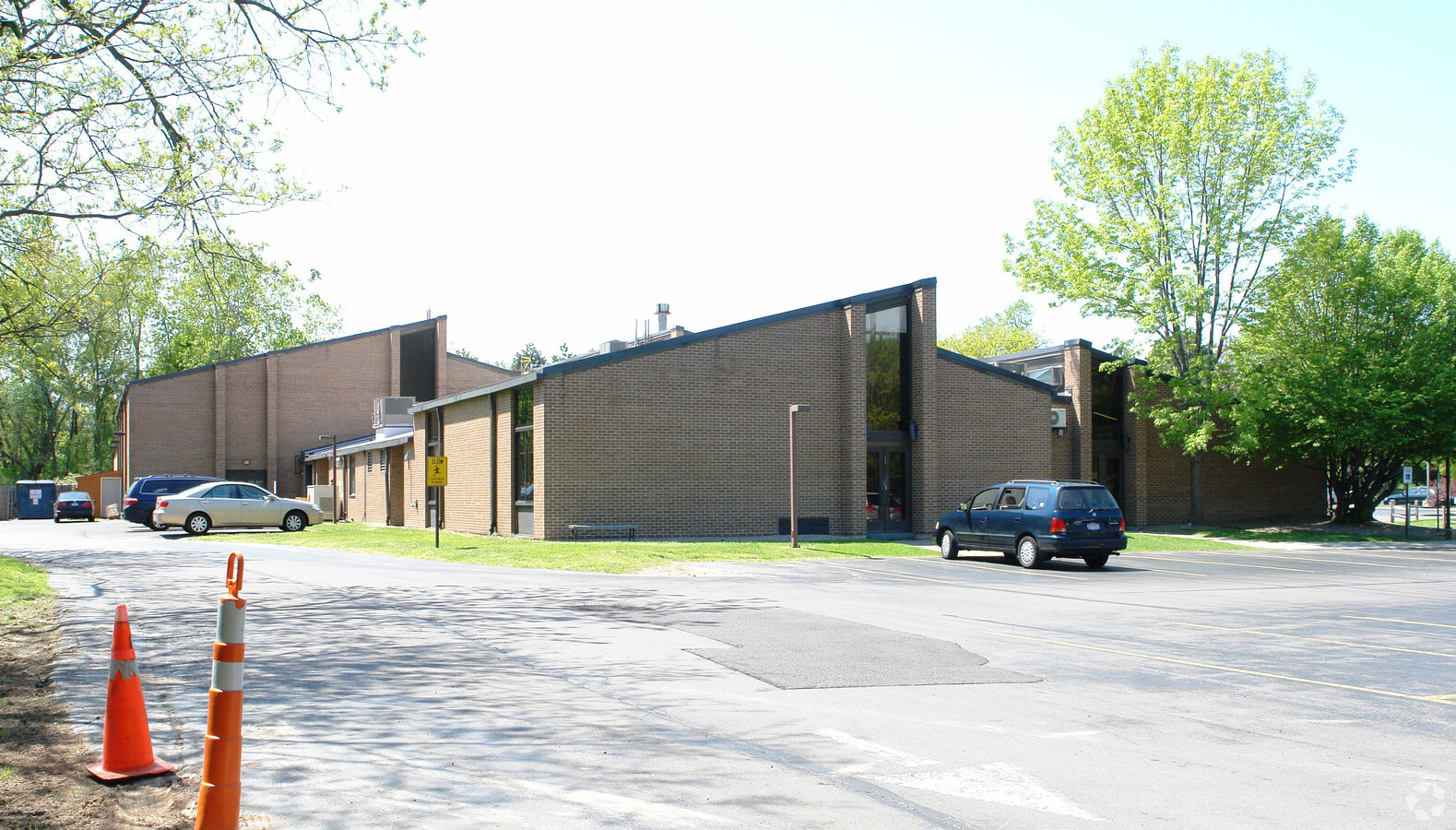
111 E Jefferson Rd, Pittsford, NY 14534

NEARBY LISTINGS FOR SALE OR LEASE
Property Detail
111 E Jefferson Rd
264689-164-110-0002-029-000
0019-12-05
Religious
Monroe
X
New York
36055C0359G
29.000
2024
7.20 AC
2023
Southeast
012301
Rochester
43,854 SF
Rochester, NY
DEMOGRAPHICS near 111 E Jefferson Rd
1 Mile
3 Mile
5 Mile
2024 Total Population
5,631
44,125
125,244
2029 Population
5,553
43,518
123,659
Pop Growth 2024-2029
(1.39%)
(1.38%)
(1.27%)
Average Age
46
43
44
2024 Total Households
2,249
17,213
52,225
HH Growth 2024-2029
(1.38%)
(1.51%)
(1.35%)
Median Household Inc
$122,014
$103,252
$92,769
Avg Household Size
2.40
2.40
2.30
2024 Avg HH Vehicles
2.00
2.00
2.00
Median Home Value
$312,639
$276,756
$249,238
Median Year Built
1967
1966
1968
Nearby Places
- Restaurants
- Banks
- Shops
- Fitness
- Groceries
PUBLIC TRANSPORTATION
AIRPORT
Greater Rochester International
DRIVE
WALK
Distance
Greater Rochester International
18 min
10.8 mi
Freight Ports
Albany, NY Port
DRIVE
WALK
Distance
Albany, NY Port
256 min
218.0 mi
Nearby Properties
Address
Land Use
TOTAL SIZE
Lot Size
Zoning
Address
Land Use
TOTAL SIZE
Lot Size
Zoning
65,745 SF
154.98 AC
Address
Land Use
TOTAL SIZE
Lot Size
Zoning
70,683 SF
53.22 AC
Address
Land Use
TOTAL SIZE
Lot Size
Zoning
225,000 SF
48.60 AC
Address
Land Use
TOTAL SIZE
Lot Size
Zoning
424,207 SF
39.50 AC
Address
Land Use
TOTAL SIZE
Lot Size
Zoning
130,830 SF
19.20 AC
Address
Land Use
TOTAL SIZE
Lot Size
Zoning
Address
Land Use
TOTAL SIZE
Lot Size
Zoning
209,996 SF
36.56 AC
Address
Land Use
TOTAL SIZE
Lot Size
Zoning
408,790 SF
31.90 AC
02 - SINGL
Address
Land Use
TOTAL SIZE
Lot Size
Zoning
177,828 SF
36.90 AC
Address
Land Use
TOTAL SIZE
Lot Size
Zoning
288,463 SF
34 AC
Address
Land Use
TOTAL SIZE
Lot Size
Zoning
155,517 SF
45.77 AC
Address
Land Use
TOTAL SIZE
Lot Size
Zoning
314,400 SF
31.86 AC
Address
Land Use
TOTAL SIZE
Lot Size
Zoning
2,902 SF
127.70 AC
CEMETERY
Address
Land Use
TOTAL SIZE
Lot Size
Zoning
193,120 SF
10.83 AC
INDUSTRIAL
Address
Land Use
TOTAL SIZE
Lot Size
Zoning
62,200 SF
17.92 AC
Address
Land Use
TOTAL SIZE
Lot Size
Zoning
101,804 SF
26.13 AC
RESTRC BUS
Address
Land Use
TOTAL SIZE
Lot Size
Zoning
174,852 SF
44 AC
Address
Land Use
TOTAL SIZE
Lot Size
Zoning
52,080 SF
21.10 AC
Address
Land Use
TOTAL SIZE
Lot Size
Zoning
128,694 SF
15.71 AC
Address
Land Use
TOTAL SIZE
Lot Size
Zoning
114,692 SF
27.10 AC
RES B
Address
Land Use
TOTAL SIZE
Lot Size
Zoning
6,720 SF
24.10 AC
Address
Land Use
TOTAL SIZE
Lot Size
Zoning
50,387 SF
4.10 AC
02 - SINGL
Address
Land Use
TOTAL SIZE
Lot Size
Zoning
570 SF
9.37 AC
02 - SINGL
Address
Land Use
TOTAL SIZE
Lot Size
Zoning
1,728 SF
85.30 AC
Address
Land Use
TOTAL SIZE
Lot Size
Zoning
70,468 SF
318.95 AC
Address
Land Use
TOTAL SIZE
Lot Size
Zoning
72,747 SF
5.98 AC
Address
Land Use
TOTAL SIZE
Lot Size
Zoning
32,800 SF
1.50 AC
Address
Land Use
TOTAL SIZE
Lot Size
Zoning
6,768 SF
14.32 AC
APT
Address
Land Use
TOTAL SIZE
Lot Size
Zoning
75,624 SF
19.20 AC
Address
Land Use
TOTAL SIZE
Lot Size
Zoning
130,674 SF
42 AC
RES B
The World's #1 Commercial Real Estate Marketplace
Connect with us
© 2025 CoStar Group
The information above has been obtained from sources believed reliable. While we do not doubt its accuracy we have not verified it and make no guarantee, warranty or representation about it. It is your responsibility to independently confirm its accuracy and completeness. Any projections, opinions, assumptions, or estimates used are for example only and do not represent the current or future performance of the property. The value of this transaction to you depends on tax and other factors which should be evaluated by your tax, financial, and legal advisors. You and your advisors should conduct a careful, independent investigation of the property to determine to your satisfaction the suitability of the property for your needs.