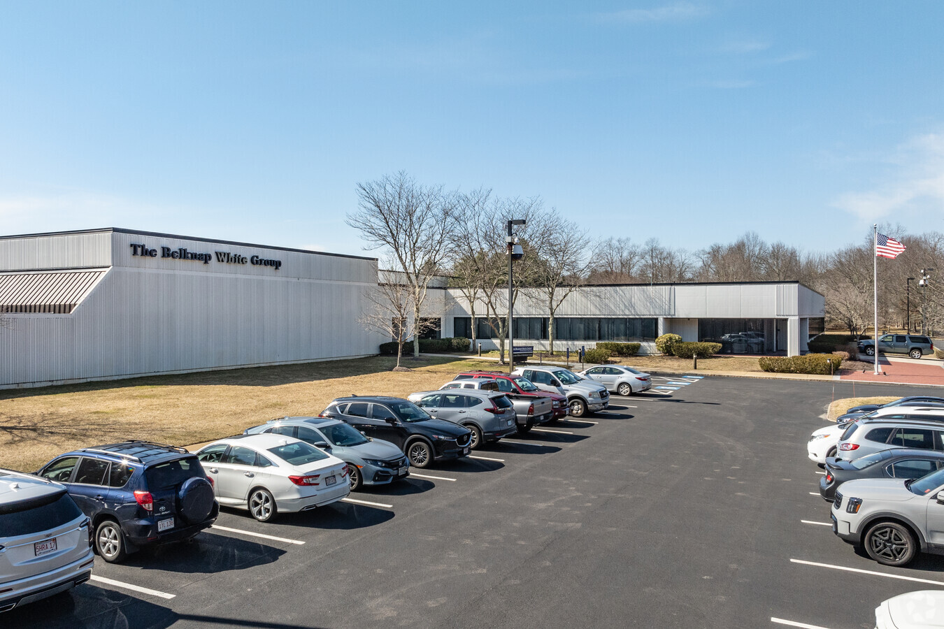
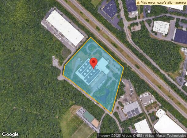
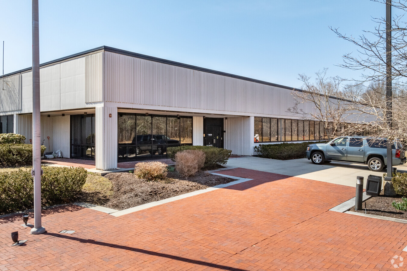
Property Record
111 Plymouth St, Mansfield, MA 02048
Current Lease Availabilities
NEARBY LISTINGS FOR SALE OR LEASE
Property Detail
111 Plymouth St
MANS-000044-000000-000802
Bristol
Warehouse
Massachusetts
X
802
25021C0365E
20.46 AC
2025
Attleboro/New Bedford
2025
Boston
610202
Providence-Warwick, RI-MA
177,186 SF
DEMOGRAPHICS near 111 Plymouth St
1 Mile
3 Mile
5 Mile
2024 Total Population
1,800
28,342
84,786
2029 Population
1,797
28,239
84,277
Pop Growth 2024-2029
(0.17%)
(0.36%)
(0.60%)
Average Age
39
41
41
2024 Total Households
655
11,009
32,339
HH Growth 2024-2029
(0.31%)
(0.40%)
(0.64%)
Median Household Inc
$141,666
$118,397
$109,499
Avg Household Size
2.70
2.50
2.50
2024 Avg HH Vehicles
2.00
2.00
2.00
Median Home Value
$534,091
$492,571
$483,986
Median Year Built
1981
1977
1977
Nearby Places
- Restaurants
- Banks
- Shops
- Fitness
- Groceries
PUBLIC TRANSPORTATION
COMMUTER RAIL
Mansfield (Foxboro Line (Special Events Only) - Massachusetts Bay Transportation Authority Commuter Rail (Purple Line), Providence/Stoughton Line - Massachusetts Bay Transportation Authority Commuter Rail (Purple Line))
DRIVE
WALK
Distance
Mansfield (Foxboro Line (Special Events Only) - Massachusetts Bay Transportation Authority Commuter Rail (Purple Line), Providence/Stoughton Line - Massachusetts Bay Transportation Authority Commuter Rail (Purple Line))
9 min
3.2 mi
Foxboro (Special Events Only) (Foxboro Line (Special Events Only) - Massachusetts Bay Transportation Authority Commuter Rail (Purple Line))
DRIVE
WALK
Distance
Foxboro (Special Events Only) (Foxboro Line (Special Events Only) - Massachusetts Bay Transportation Authority Commuter Rail (Purple Line))
16 min
8.6 mi
AIRPORT
Rhode Island Tf Green International
DRIVE
WALK
Distance
Rhode Island Tf Green International
48 min
30.7 mi
General Edward Lawrence Logan International
DRIVE
WALK
Distance
General Edward Lawrence Logan International
52 min
35.9 mi
Freight Ports
Port of Boston
DRIVE
WALK
Distance
Port of Boston
50 min
30.5 mi
Nearby Properties
Address
Land Use
TOTAL SIZE
Lot Size
Zoning
Address
Land Use
TOTAL SIZE
Lot Size
Zoning
204,502 SF
40.65 AC
Address
Land Use
TOTAL SIZE
Lot Size
Zoning
Address
Land Use
TOTAL SIZE
Lot Size
Zoning
17.60 AC
Address
Land Use
TOTAL SIZE
Lot Size
Zoning
Address
Land Use
TOTAL SIZE
Lot Size
Zoning
22.81 AC
Address
Land Use
TOTAL SIZE
Lot Size
Zoning
351,950 SF
31.45 AC
Address
Land Use
TOTAL SIZE
Lot Size
Zoning
25.68 AC
Address
Land Use
TOTAL SIZE
Lot Size
Zoning
Address
Land Use
TOTAL SIZE
Lot Size
Zoning
350,067 SF
20.20 AC
Address
Land Use
TOTAL SIZE
Lot Size
Zoning
202,987 SF
25.95 AC
Address
Land Use
TOTAL SIZE
Lot Size
Zoning
442,756 SF
31.18 AC
Address
Land Use
TOTAL SIZE
Lot Size
Zoning
113,788 SF
1.67 AC
Address
Land Use
TOTAL SIZE
Lot Size
Zoning
33.31 AC
Address
Land Use
TOTAL SIZE
Lot Size
Zoning
3,330 SF
1.37 AC
Address
Land Use
TOTAL SIZE
Lot Size
Zoning
14.75 AC
Address
Land Use
TOTAL SIZE
Lot Size
Zoning
14.20 AC
Address
Land Use
TOTAL SIZE
Lot Size
Zoning
86,116 SF
22.50 AC
Address
Land Use
TOTAL SIZE
Lot Size
Zoning
349,000 SF
61.70 AC
Address
Land Use
TOTAL SIZE
Lot Size
Zoning
205,400 SF
10 AC
Address
Land Use
TOTAL SIZE
Lot Size
Zoning
174,103 SF
12.40 AC
Address
Land Use
TOTAL SIZE
Lot Size
Zoning
24.50 AC
Address
Land Use
TOTAL SIZE
Lot Size
Zoning
230,394 SF
19.77 AC
Address
Land Use
TOTAL SIZE
Lot Size
Zoning
73,468 SF
9.40 AC
Address
Land Use
TOTAL SIZE
Lot Size
Zoning
93,685 SF
8 AC
Address
Land Use
TOTAL SIZE
Lot Size
Zoning
105,166 SF
5.93 AC
Address
Land Use
TOTAL SIZE
Lot Size
Zoning
Address
Land Use
TOTAL SIZE
Lot Size
Zoning
113,750 SF
10.50 AC
Address
Land Use
TOTAL SIZE
Lot Size
Zoning
186,200 SF
20.27 AC
Address
Land Use
TOTAL SIZE
Lot Size
Zoning
9.20 AC
Address
Land Use
TOTAL SIZE
Lot Size
Zoning
124,840 SF
10.47 AC
The World's #1 Commercial Real Estate Marketplace
Connect with us
© 2025 CoStar Group
The information above has been obtained from sources believed reliable. While we do not doubt its accuracy we have not verified it and make no guarantee, warranty or representation about it. It is your responsibility to independently confirm its accuracy and completeness. Any projections, opinions, assumptions, or estimates used are for example only and do not represent the current or future performance of the property. The value of this transaction to you depends on tax and other factors which should be evaluated by your tax, financial, and legal advisors. You and your advisors should conduct a careful, independent investigation of the property to determine to your satisfaction the suitability of the property for your needs.