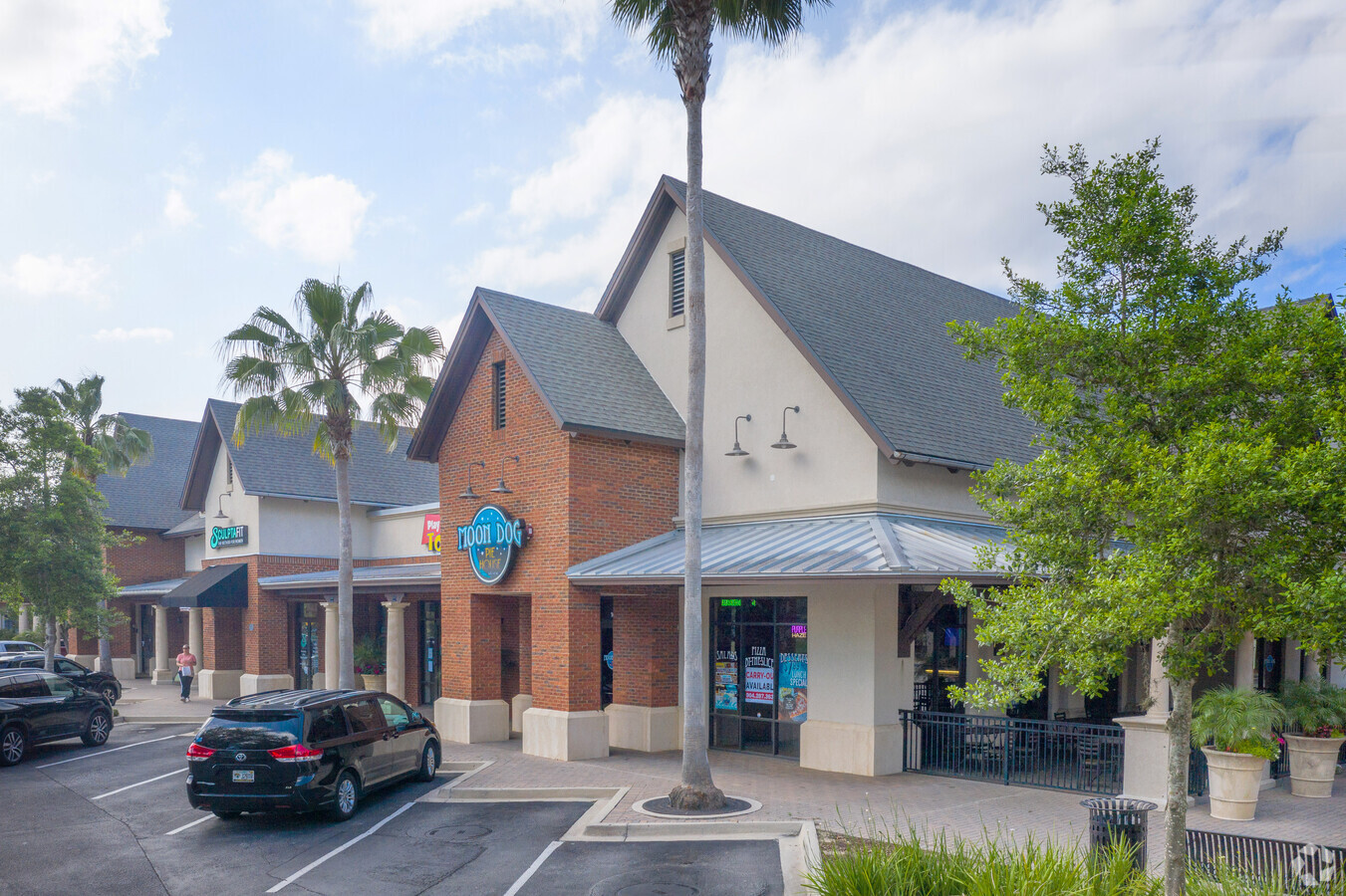
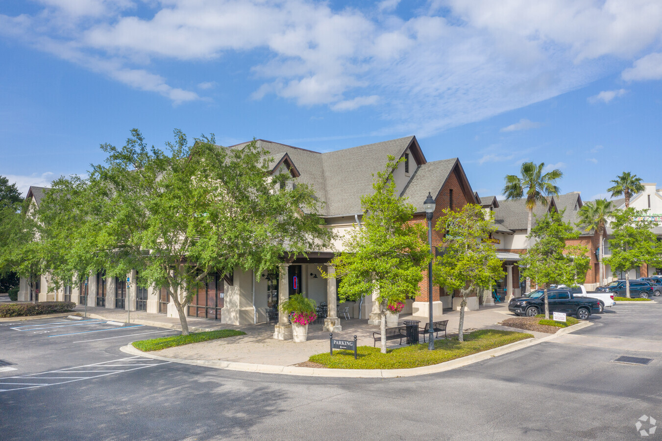
Property Record
112 Bartram Oaks Walk, Saint Johns, FL 32259

NEARBY LISTINGS FOR SALE OR LEASE
Property Detail
112 Bartram Oaks Walk
Jacksonville, FL
Fletcher Park
003995-0030
4-3 PT OF W183FT LOT 2 SEC 29 & PT LOT 2 SEC 30 LYING E OF RD 13 (EX DOT RW IN OR919/454) (EX PT LEASED IN OR2862/1146) OR2342/1861
Regionalshoppingcenterormallwithanchorstore
St. Johns
X
Florida
12109C0151J
2
2023
3.48 AC
2024
St Johns County
020801
Jacksonville (Florida)
32,417 SF
DEMOGRAPHICS near 112 Bartram Oaks Walk
1 Mile
3 Mile
5 Mile
2024 Total Population
4,381
44,708
112,411
2029 Population
5,665
52,789
129,764
Pop Growth 2024-2029
+ 29.31%
+ 18.08%
+ 15.44%
Average Age
47
43
41
2024 Total Households
1,442
16,067
41,071
HH Growth 2024-2029
+ 28.71%
+ 16.82%
+ 13.90%
Median Household Inc
$117,019
$109,965
$101,990
Avg Household Size
2.60
2.70
2.70
2024 Avg HH Vehicles
2.00
2.00
2.00
Median Home Value
$375,820
$360,912
$339,994
Median Year Built
1992
1993
1993
Nearby Places
- Restaurants
- Banks
- Shops
- Fitness
- Groceries
PUBLIC TRANSPORTATION
AIRPORT
Jacksonville International
DRIVE
WALK
Distance
Jacksonville International
51 min
37.0 mi
Freight Ports
Jacksonville Port
DRIVE
WALK
Distance
Jacksonville Port
36 min
20.0 mi
Nearby Properties
Address
Land Use
TOTAL SIZE
Lot Size
Zoning
Address
Land Use
TOTAL SIZE
Lot Size
Zoning
193,858 SF
8.67 AC
PUD
Address
Land Use
TOTAL SIZE
Lot Size
Zoning
96,065 SF
4.11 AC
PUD
Address
Land Use
TOTAL SIZE
Lot Size
Zoning
321,392 SF
42.84 AC
PUD
Address
Land Use
TOTAL SIZE
Lot Size
Zoning
123,398 SF
25.30 AC
PUD
Address
Land Use
TOTAL SIZE
Lot Size
Zoning
80,974 SF
4.94 AC
CCG-1
Address
Land Use
TOTAL SIZE
Lot Size
Zoning
122,561 SF
48.29 AC
OR
Address
Land Use
TOTAL SIZE
Lot Size
Zoning
65,155 SF
58.66 AC
OR
Address
Land Use
TOTAL SIZE
Lot Size
Zoning
66,280 SF
9.45 AC
PUD
Address
Land Use
TOTAL SIZE
Lot Size
Zoning
94,789 SF
30 AC
OR
Address
Land Use
TOTAL SIZE
Lot Size
Zoning
50,800 SF
2.39 AC
PUD
Address
Land Use
TOTAL SIZE
Lot Size
Zoning
84,122 SF
4.96 AC
PUD
Address
Land Use
TOTAL SIZE
Lot Size
Zoning
78,656 SF
2.73 AC
CCG-1
Address
Land Use
TOTAL SIZE
Lot Size
Zoning
81,119 SF
9.10 AC
PUD
Address
Land Use
TOTAL SIZE
Lot Size
Zoning
97,776 SF
12.34 AC
PUD
Address
Land Use
TOTAL SIZE
Lot Size
Zoning
95,870 SF
9.71 AC
OR
Address
Land Use
TOTAL SIZE
Lot Size
Zoning
63,305 SF
6.86 AC
PUD
Address
Land Use
TOTAL SIZE
Lot Size
Zoning
91,522 SF
9.84 AC
PUD
Address
Land Use
TOTAL SIZE
Lot Size
Zoning
45,676 SF
5.86 AC
PUD
Address
Land Use
TOTAL SIZE
Lot Size
Zoning
101,150 SF
11.51 AC
PUD
Address
Land Use
TOTAL SIZE
Lot Size
Zoning
93,536 SF
3.85 AC
CCG-1
Address
Land Use
TOTAL SIZE
Lot Size
Zoning
25,837 SF
5.05 AC
OR
Address
Land Use
TOTAL SIZE
Lot Size
Zoning
109,558 SF
28.24 AC
PBF-1
Address
Land Use
TOTAL SIZE
Lot Size
Zoning
19,664 SF
0.40 AC
CCG-1
Address
Land Use
TOTAL SIZE
Lot Size
Zoning
96,235 SF
7.02 AC
PBF-2
Address
Land Use
TOTAL SIZE
Lot Size
Zoning
14,101 SF
3.19 AC
PUD
Address
Land Use
TOTAL SIZE
Lot Size
Zoning
40,746 SF
2.68 AC
PUD
Address
Land Use
TOTAL SIZE
Lot Size
Zoning
18,515 SF
4.25 AC
PUD
Address
Land Use
TOTAL SIZE
Lot Size
Zoning
79,127 SF
12.34 AC
PUD
Address
Land Use
TOTAL SIZE
Lot Size
Zoning
30,328 SF
2.97 AC
CG
The World's #1 Commercial Real Estate Marketplace
Connect with us
© 2025 CoStar Group
The information above has been obtained from sources believed reliable. While we do not doubt its accuracy we have not verified it and make no guarantee, warranty or representation about it. It is your responsibility to independently confirm its accuracy and completeness. Any projections, opinions, assumptions, or estimates used are for example only and do not represent the current or future performance of the property. The value of this transaction to you depends on tax and other factors which should be evaluated by your tax, financial, and legal advisors. You and your advisors should conduct a careful, independent investigation of the property to determine to your satisfaction the suitability of the property for your needs.