Property Record
1120 Northpoint Blvd, Blythewood, SC 29016
NEARBY LISTINGS FOR SALE OR LEASE
Property Detail
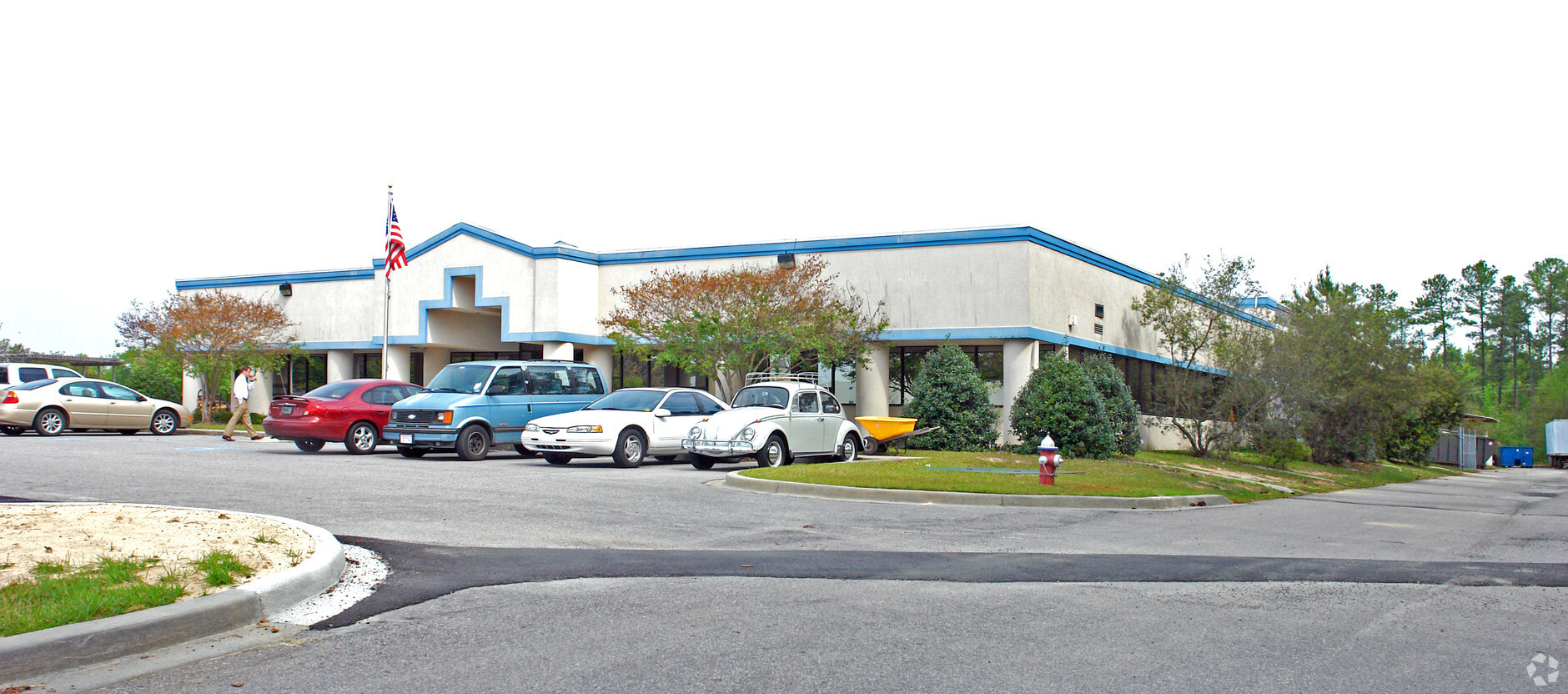
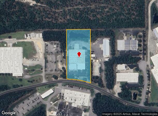
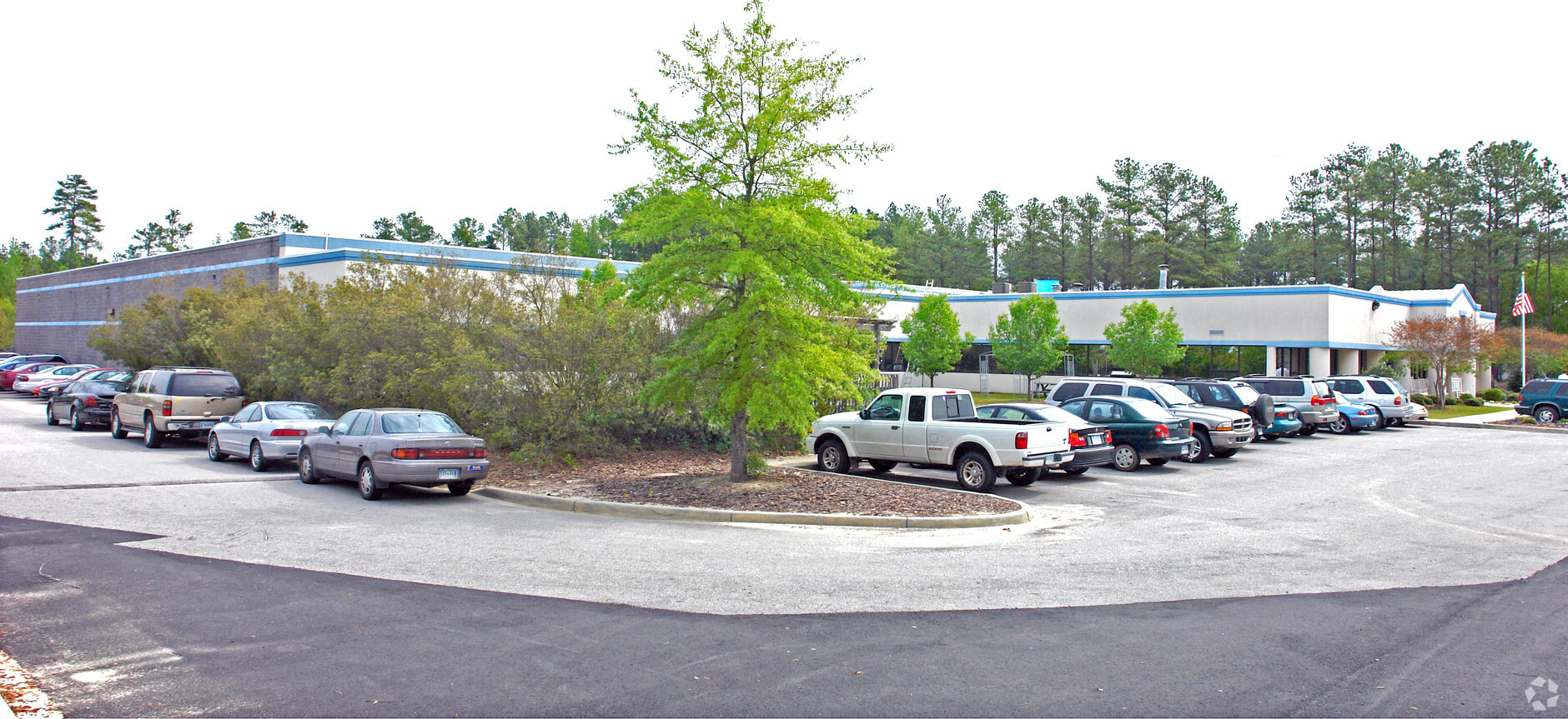
1120 Northpoint Blvd
Columbia, SC
Northpoint Industrial Park
14900-01-22
305.5X615.5X300X666.9 #SU #PR 55-4622
Commercialnec
Richland
X
South Carolina
45079C0136L
4.36 AC
2024
North Columbia
2023
Columbia
010106
DEMOGRAPHICS near 1120 Northpoint Blvd
1 Mile
3 Mile
5 Mile
2024 Total Population
1,478
19,398
52,741
2029 Population
1,548
19,874
54,065
Pop Growth 2024-2029
+ 4.74%
+ 2.45%
+ 2.51%
Average Age
40
37
37
2024 Total Households
536
7,034
19,431
HH Growth 2024-2029
+ 4.85%
+ 2.66%
+ 2.56%
Median Household Inc
$115,151
$81,774
$74,654
Avg Household Size
2.80
2.70
2.70
2024 Avg HH Vehicles
3.00
2.00
2.00
Median Home Value
$330,750
$247,331
$236,087
Median Year Built
2011
2007
2005
Nearby Places
- Restaurants
- Banks
- Shops
- Fitness
- Groceries
PUBLIC TRANSPORTATION
AIRPORT
Columbia Metro
DRIVE
WALK
Distance
Columbia Metro
44 min
26.4 mi
Freight Ports
North Charleston Terminal
DRIVE
WALK
Distance
North Charleston Terminal
143 min
123.5 mi
Nearby Properties
Address
Land Use
TOTAL SIZE
Lot Size
Zoning
Address
Land Use
TOTAL SIZE
Lot Size
Zoning
18,000 SF
52.20 AC
GC
Address
Land Use
TOTAL SIZE
Lot Size
Zoning
253,136 SF
18.85 AC
PUD-1R
Address
Land Use
TOTAL SIZE
Lot Size
Zoning
462,800 SF
104.82 AC
M-1
Address
Land Use
TOTAL SIZE
Lot Size
Zoning
176,878 SF
15.48 AC
PDD
Address
Land Use
TOTAL SIZE
Lot Size
Zoning
349,845 SF
23.62 AC
HI
Address
Land Use
TOTAL SIZE
Lot Size
Zoning
65,665 SF
7.03 AC
GC
Address
Land Use
TOTAL SIZE
Lot Size
Zoning
184,000 SF
9.67 AC
M-1
Address
Land Use
TOTAL SIZE
Lot Size
Zoning
269,200 SF
40.65 AC
M-1
Address
Land Use
TOTAL SIZE
Lot Size
Zoning
275,753 SF
26.21 AC
HI
Address
Land Use
TOTAL SIZE
Lot Size
Zoning
169,600 SF
10.80 AC
M-1
Address
Land Use
TOTAL SIZE
Lot Size
Zoning
74,014 SF
22.02 AC
HI
Address
Land Use
TOTAL SIZE
Lot Size
Zoning
41,025 SF
6.80 AC
C-3
Address
Land Use
TOTAL SIZE
Lot Size
Zoning
2,740 SF
5 AC
D-1
Address
Land Use
TOTAL SIZE
Lot Size
Zoning
1,200 SF
125.99 AC
PDD
Address
Land Use
TOTAL SIZE
Lot Size
Zoning
112,228 SF
20.34 AC
M-1
Address
Land Use
TOTAL SIZE
Lot Size
Zoning
178,080 SF
10.48 AC
M-1
Address
Land Use
TOTAL SIZE
Lot Size
Zoning
20,760 SF
12.68 AC
GC
Address
Land Use
TOTAL SIZE
Lot Size
Zoning
112,975 SF
21.20 AC
M-1
Address
Land Use
TOTAL SIZE
Lot Size
Zoning
51,493 SF
2.08 AC
C-3
Address
Land Use
TOTAL SIZE
Lot Size
Zoning
23.52 AC
M-1
Address
Land Use
TOTAL SIZE
Lot Size
Zoning
70,757 SF
8.59 AC
M-1
Address
Land Use
TOTAL SIZE
Lot Size
Zoning
23,492 SF
84.58 AC
GC
Address
Land Use
TOTAL SIZE
Lot Size
Zoning
43,988 SF
1.64 AC
D-1
Address
Land Use
TOTAL SIZE
Lot Size
Zoning
12.58 AC
C-1
Address
Land Use
TOTAL SIZE
Lot Size
Zoning
31,934 SF
289.15 AC
TROS
Address
Land Use
TOTAL SIZE
Lot Size
Zoning
3,454 SF
1.52 AC
C-3
Address
Land Use
TOTAL SIZE
Lot Size
Zoning
56,511 SF
8.16 AC
D-1
Address
Land Use
TOTAL SIZE
Lot Size
Zoning
3.31 AC
OI
Address
Land Use
TOTAL SIZE
Lot Size
Zoning
59,248 SF
3.90 AC
TC
Address
Land Use
TOTAL SIZE
Lot Size
Zoning
109.01 AC
D-1
The World's #1 Commercial Real Estate Marketplace
Connect with us
© 2025 CoStar Group
The information above has been obtained from sources believed reliable. While we do not doubt its accuracy we have not verified it and make no guarantee, warranty or representation about it. It is your responsibility to independently confirm its accuracy and completeness. Any projections, opinions, assumptions, or estimates used are for example only and do not represent the current or future performance of the property. The value of this transaction to you depends on tax and other factors which should be evaluated by your tax, financial, and legal advisors. You and your advisors should conduct a careful, independent investigation of the property to determine to your satisfaction the suitability of the property for your needs.