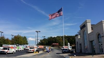
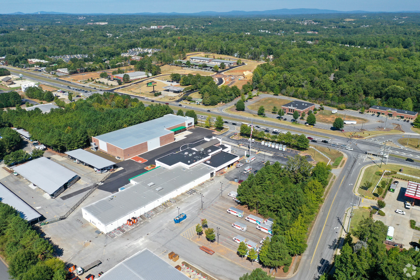
Property Record
11300 Highway 92, Woodstock, GA 30188


NEARBY LISTINGS FOR SALE OR LEASE
-
-
View all Woodstock listings for sale on LoopNet.com
Property Detail
11300 Highway 92
015N18-00000-071-00E-0000
LL 1207 15TH D
Publicstorage
Cherokee
X
Georgia
13057C0334E
1207
2024
12.25 AC
2024
Cherokee County
090905
Atlanta
35,603 SF
Atlanta-Sandy Springs-Roswell, GA
DEMOGRAPHICS near 11300 Highway 92
1 Mile
3 Mile
5 Mile
2024 Total Population
9,885
68,773
175,743
2029 Population
11,137
75,966
191,438
Pop Growth 2024-2029
+ 12.67%
+ 10.46%
+ 8.93%
Average Age
41
40
40
2024 Total Households
3,993
26,087
64,055
HH Growth 2024-2029
+ 12.80%
+ 10.92%
+ 9.32%
Median Household Inc
$99,602
$99,061
$101,455
Avg Household Size
2.40
2.60
2.70
2024 Avg HH Vehicles
2.00
2.00
2.00
Median Home Value
$337,300
$334,640
$349,015
Median Year Built
1996
1994
1992
Nearby Places
- Restaurants
- Banks
- Shops
- Fitness
- Groceries
Nearby Properties
Address
Land Use
TOTAL SIZE
Lot Size
Zoning
Address
Land Use
TOTAL SIZE
Lot Size
Zoning
288,158 SF
25.03 AC
R-40
Address
Land Use
TOTAL SIZE
Lot Size
Zoning
48,072 SF
14.60 AC
R-4
Address
Land Use
TOTAL SIZE
Lot Size
Zoning
22,976 SF
17.56 AC
DT-MRA
Address
Land Use
TOTAL SIZE
Lot Size
Zoning
39,111 SF
38.48 AC
LI
Address
Land Use
TOTAL SIZE
Lot Size
Zoning
367,731 SF
20.40 AC
GC
Address
Land Use
TOTAL SIZE
Lot Size
Zoning
328,203 SF
71 AC
R-40
Address
Land Use
TOTAL SIZE
Lot Size
Zoning
331,490 SF
104.10 AC
CD
Address
Land Use
TOTAL SIZE
Lot Size
Zoning
15,330 SF
32.52 AC
NC-TCT
Address
Land Use
TOTAL SIZE
Lot Size
Zoning
22,960 SF
34.63 AC
R-40
Address
Land Use
TOTAL SIZE
Lot Size
Zoning
186,090 SF
30.08 AC
GC
Address
Land Use
TOTAL SIZE
Lot Size
Zoning
114,080 SF
11.17 AC
GC
Address
Land Use
TOTAL SIZE
Lot Size
Zoning
3,936 SF
8 AC
PUD
Address
Land Use
TOTAL SIZE
Lot Size
Zoning
153,771 SF
16.34 AC
NC-TCT
Address
Land Use
TOTAL SIZE
Lot Size
Zoning
98,307 SF
13.49 AC
GC
Address
Land Use
TOTAL SIZE
Lot Size
Zoning
133,856 SF
5.77 AC
R-80
Address
Land Use
TOTAL SIZE
Lot Size
Zoning
31,266 SF
9.84 AC
GC
Address
Land Use
TOTAL SIZE
Lot Size
Zoning
61,433 SF
9.52 AC
GC
Address
Land Use
TOTAL SIZE
Lot Size
Zoning
88,795 SF
30.92 AC
DT-CI
Address
Land Use
TOTAL SIZE
Lot Size
Zoning
104,896 SF
GC
Address
Land Use
TOTAL SIZE
Lot Size
Zoning
19,104 SF
12.69 AC
GC
Address
Land Use
TOTAL SIZE
Lot Size
Zoning
135,538 SF
12.34 AC
DT-CMU
Address
Land Use
TOTAL SIZE
Lot Size
Zoning
138,918 SF
13.96 AC
GC
Address
Land Use
TOTAL SIZE
Lot Size
Zoning
3,844 SF
28.32 AC
GC
Address
Land Use
TOTAL SIZE
Lot Size
Zoning
105,600 SF
2.13 AC
GC
Address
Land Use
TOTAL SIZE
Lot Size
Zoning
107,572 SF
1.83 AC
GC
Address
Land Use
TOTAL SIZE
Lot Size
Zoning
54,336 SF
10.21 AC
GC
Address
Land Use
TOTAL SIZE
Lot Size
Zoning
63,465 SF
9.83 AC
GC
Address
Land Use
TOTAL SIZE
Lot Size
Zoning
50,639 SF
7.79 AC
GC
Address
Land Use
TOTAL SIZE
Lot Size
Zoning
5,140 SF
8.14 AC
R-40
Address
Land Use
TOTAL SIZE
Lot Size
Zoning
86,806 SF
4.09 AC
OI
The World's #1 Commercial Real Estate Marketplace
Connect with us
© 2025 CoStar Group
The information above has been obtained from sources believed reliable. While we do not doubt its accuracy we have not verified it and make no guarantee, warranty or representation about it. It is your responsibility to independently confirm its accuracy and completeness. Any projections, opinions, assumptions, or estimates used are for example only and do not represent the current or future performance of the property. The value of this transaction to you depends on tax and other factors which should be evaluated by your tax, financial, and legal advisors. You and your advisors should conduct a careful, independent investigation of the property to determine to your satisfaction the suitability of the property for your needs.