Property Record
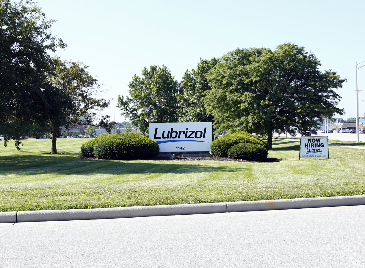
1142 N Main St, Bowling Green, OH 43402
NEARBY LISTINGS FOR SALE OR LEASE
Property Detail
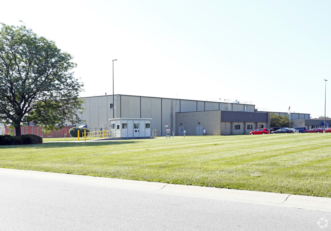
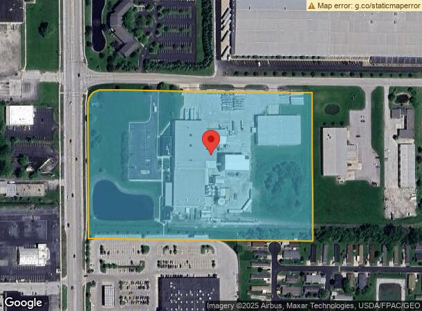
1142 N Main St
B07-511-180000009000
S619.99 W1005.43 SW NW LESS PT
Lightindustrial
Wood
X
Ohio
39173C0145D
13.48 AC
2023
Perrysburg/Northwood
2023
Toledo
022500
Toledo, OH
94,225 SF
DEMOGRAPHICS near 1142 N Main St
1 Mile
3 Mile
5 Mile
2024 Total Population
7,858
31,939
34,826
2029 Population
7,968
32,433
35,258
Pop Growth 2024-2029
+ 1.40%
+ 1.55%
+ 1.24%
Average Age
29
34
35
2024 Total Households
2,308
12,899
13,946
HH Growth 2024-2029
+ 1.56%
+ 1.69%
+ 1.41%
Median Household Inc
$25,457
$41,082
$44,671
Avg Household Size
2.00
2.10
2.10
2024 Avg HH Vehicles
2.00
2.00
2.00
Median Home Value
$152,725
$199,881
$206,711
Median Year Built
1982
1979
1979
Nearby Places
- Restaurants
- Banks
- Shops
- Fitness
- Groceries
PUBLIC TRANSPORTATION
AIRPORT
Eugene F Kranz Toledo Express
DRIVE
WALK
Distance
Eugene F Kranz Toledo Express
40 min
22.8 mi
Freight Ports
Port of Toledo
DRIVE
WALK
Distance
Port of Toledo
41 min
24.9 mi
Nearby Properties
Address
Land Use
TOTAL SIZE
Lot Size
Zoning
Address
Land Use
TOTAL SIZE
Lot Size
Zoning
4,258,392 SF
81.52 AC
Address
Land Use
TOTAL SIZE
Lot Size
Zoning
Address
Land Use
TOTAL SIZE
Lot Size
Zoning
302,240 SF
7.21 AC
Address
Land Use
TOTAL SIZE
Lot Size
Zoning
550,767 SF
20.56 AC
Address
Land Use
TOTAL SIZE
Lot Size
Zoning
322,830 SF
38.74 AC
Address
Land Use
TOTAL SIZE
Lot Size
Zoning
429,859 SF
21.79 AC
Address
Land Use
TOTAL SIZE
Lot Size
Zoning
14,124 SF
13.26 AC
Address
Land Use
TOTAL SIZE
Lot Size
Zoning
148,952 SF
2.39 AC
Address
Land Use
TOTAL SIZE
Lot Size
Zoning
446,800 SF
34.76 AC
Address
Land Use
TOTAL SIZE
Lot Size
Zoning
64,375 SF
16.62 AC
Address
Land Use
TOTAL SIZE
Lot Size
Zoning
89,694 SF
7.90 AC
Address
Land Use
TOTAL SIZE
Lot Size
Zoning
127,806 SF
10.19 AC
Address
Land Use
TOTAL SIZE
Lot Size
Zoning
284,524 SF
5.13 AC
Address
Land Use
TOTAL SIZE
Lot Size
Zoning
28,901 SF
11.36 AC
Address
Land Use
TOTAL SIZE
Lot Size
Zoning
201,980 SF
14.36 AC
Address
Land Use
TOTAL SIZE
Lot Size
Zoning
40.10 AC
Address
Land Use
TOTAL SIZE
Lot Size
Zoning
136,154 SF
11.47 AC
Address
Land Use
TOTAL SIZE
Lot Size
Zoning
217,995 SF
24.23 AC
Address
Land Use
TOTAL SIZE
Lot Size
Zoning
51,900 SF
13.34 AC
Address
Land Use
TOTAL SIZE
Lot Size
Zoning
28,269 SF
15.85 AC
Address
Land Use
TOTAL SIZE
Lot Size
Zoning
21,445 SF
12 AC
Address
Land Use
TOTAL SIZE
Lot Size
Zoning
40,577 SF
38.79 AC
Address
Land Use
TOTAL SIZE
Lot Size
Zoning
10,560 SF
6.74 AC
Address
Land Use
TOTAL SIZE
Lot Size
Zoning
36,595 SF
39.99 AC
Address
Land Use
TOTAL SIZE
Lot Size
Zoning
79.35 AC
Address
Land Use
TOTAL SIZE
Lot Size
Zoning
182,682 SF
15.46 AC
Address
Land Use
TOTAL SIZE
Lot Size
Zoning
177,236 SF
15 AC
Address
Land Use
TOTAL SIZE
Lot Size
Zoning
26,032 SF
2.37 AC
Address
Land Use
TOTAL SIZE
Lot Size
Zoning
14,740 SF
12.29 AC
Address
Land Use
TOTAL SIZE
Lot Size
Zoning
63,586 SF
2.07 AC
The World's #1 Commercial Real Estate Marketplace
Connect with us
© 2025 CoStar Group
The information above has been obtained from sources believed reliable. While we do not doubt its accuracy we have not verified it and make no guarantee, warranty or representation about it. It is your responsibility to independently confirm its accuracy and completeness. Any projections, opinions, assumptions, or estimates used are for example only and do not represent the current or future performance of the property. The value of this transaction to you depends on tax and other factors which should be evaluated by your tax, financial, and legal advisors. You and your advisors should conduct a careful, independent investigation of the property to determine to your satisfaction the suitability of the property for your needs.