Property Record
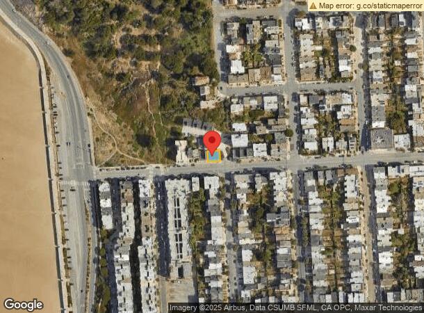
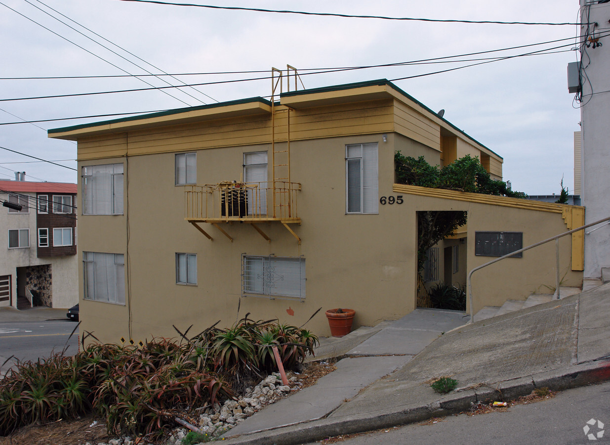
695 48Th Ave, San Francisco, CA 94121

NEARBY LISTINGS FOR SALE OR LEASE
Property Detail
695 48Th Ave
San Francisco-Redwood City-South San Francisco, CA
Portion Outside Land Block #331
1591-014
San Francisco
Apartment
California
2023
14
2023
0.06 AC
047904
Richmond District
3,580 SF
San Francisco
DEMOGRAPHICS near 695 48Th Ave
1 Mile
3 Mile
5 Mile
2024 Total Population
18,542
154,996
430,877
2029 Population
17,105
142,722
398,500
Pop Growth 2024-2029
(7.75%)
(7.92%)
(7.51%)
Average Age
45
44
43
2024 Total Households
7,495
60,794
188,030
HH Growth 2024-2029
(8.37%)
(8.39%)
(7.93%)
Median Household Inc
$110,170
$127,764
$142,572
Avg Household Size
2.40
2.50
2.20
2024 Avg HH Vehicles
1.00
1.00
1.00
Median Home Value
$1,118,011
$1,118,402
$1,114,747
Median Year Built
1948
1947
1948
Nearby Places
- Restaurants
- Banks
- Shops
- Fitness
- Groceries
PUBLIC TRANSPORTATION
COMMUTER RAIL
San Francisco 4Th & King (Caltrain - Caltrain (Caltrain))
DRIVE
WALK
Distance
San Francisco 4Th & King (Caltrain - Caltrain (Caltrain))
16 min
7.6 mi
22Nd Street (Caltrain - Caltrain (Caltrain))
DRIVE
WALK
Distance
22Nd Street (Caltrain - Caltrain (Caltrain))
18 min
8.5 mi
AIRPORT
San Francisco International
DRIVE
WALK
Distance
San Francisco International
31 min
16.7 mi
Metro Oakland International
DRIVE
WALK
Distance
Metro Oakland International
43 min
26.0 mi
Freight Ports
Port of San Francisco
DRIVE
WALK
Distance
Port of San Francisco
17 min
7.4 mi
Nearby Properties
Address
Land Use
TOTAL SIZE
Lot Size
Zoning
Address
Land Use
TOTAL SIZE
Lot Size
Zoning
230,310 SF
0.65 AC
NC3
Address
Land Use
TOTAL SIZE
Lot Size
Zoning
90,539 SF
2.28 AC
RH2
Address
Land Use
TOTAL SIZE
Lot Size
Zoning
146,036 SF
0.49 AC
RH3
Address
Land Use
TOTAL SIZE
Lot Size
Zoning
76,000 SF
1.48 AC
RM4
Address
Land Use
TOTAL SIZE
Lot Size
Zoning
70,120 SF
6.35 AC
RM2
Address
Land Use
TOTAL SIZE
Lot Size
Zoning
194,477 SF
11.37 AC
RH1
Address
Land Use
TOTAL SIZE
Lot Size
Zoning
205,770 SF
3.37 AC
RM4
Address
Land Use
TOTAL SIZE
Lot Size
Zoning
93,904 SF
0.50 AC
RM2
Address
Land Use
TOTAL SIZE
Lot Size
Zoning
0.40 AC
NC3
Address
Land Use
TOTAL SIZE
Lot Size
Zoning
34,253 SF
1.65 AC
NCS
Address
Land Use
TOTAL SIZE
Lot Size
Zoning
96,000 SF
0.62 AC
NC3
Address
Land Use
TOTAL SIZE
Lot Size
Zoning
121,967 SF
0.06 AC
RH2
Address
Land Use
TOTAL SIZE
Lot Size
Zoning
37,747 SF
3.31 AC
NCS
Address
Land Use
TOTAL SIZE
Lot Size
Zoning
86,651 SF
7.26 AC
RH1
Address
Land Use
TOTAL SIZE
Lot Size
Zoning
4,669 SF
0.28 AC
NC2
Address
Land Use
TOTAL SIZE
Lot Size
Zoning
71,750 SF
0.80 AC
NC3
Address
Land Use
TOTAL SIZE
Lot Size
Zoning
34,176 SF
1.20 AC
NC2
Address
Land Use
TOTAL SIZE
Lot Size
Zoning
50,180 SF
3.26 AC
RH1D
Address
Land Use
TOTAL SIZE
Lot Size
Zoning
21,205 SF
1.02 AC
RH1
Address
Land Use
TOTAL SIZE
Lot Size
Zoning
50,814 SF
0.41 AC
RH2
Address
Land Use
TOTAL SIZE
Lot Size
Zoning
27,725 SF
1.24 AC
NC2
Address
Land Use
TOTAL SIZE
Lot Size
Zoning
27,117 SF
0.22 AC
NC1
Address
Land Use
TOTAL SIZE
Lot Size
Zoning
13,000 SF
0.16 AC
INCLEM
Address
Land Use
TOTAL SIZE
Lot Size
Zoning
32,527 SF
1.01 AC
RH2
Address
Land Use
TOTAL SIZE
Lot Size
Zoning
119,316 SF
1.76 AC
RM1
Address
Land Use
TOTAL SIZE
Lot Size
Zoning
107,588 SF
1.04 AC
RM1
Address
Land Use
TOTAL SIZE
Lot Size
Zoning
34,920 SF
0.16 AC
RM1
Address
Land Use
TOTAL SIZE
Lot Size
Zoning
24,015 SF
0.28 AC
NC1
Address
Land Use
TOTAL SIZE
Lot Size
Zoning
26,130 SF
0.11 AC
NC2
Address
Land Use
TOTAL SIZE
Lot Size
Zoning
20,100 SF
0.21 AC
RH2
The World's #1 Commercial Real Estate Marketplace
Connect with us
© 2025 CoStar Group
The information above has been obtained from sources believed reliable. While we do not doubt its accuracy we have not verified it and make no guarantee, warranty or representation about it. It is your responsibility to independently confirm its accuracy and completeness. Any projections, opinions, assumptions, or estimates used are for example only and do not represent the current or future performance of the property. The value of this transaction to you depends on tax and other factors which should be evaluated by your tax, financial, and legal advisors. You and your advisors should conduct a careful, independent investigation of the property to determine to your satisfaction the suitability of the property for your needs.